Under the coordination of SCNAT, the Swiss science community has updated the respective roadmaps for large research infrastructure. These documents serve as basis for the process leading to the Swiss Roadmap for Research Infrastructures 2027 for the ERI Dsipatch 2029-2032. Further information on the community roadmaps are available HERE, and the Geosciences Roadmap is described HERE (direct access to the PDF).
News
DIVE public outreach event
Recent publications
The past summer has been productive in terms of publications.
Related to project DIVE, active seismic site surveys have been published for all three borehole locations: for holes 5071_1_A and _B in Greenwood et al., and for the planned hole in Val Sesia in Pasiecznik et al., nicely complementing results by Ryberg et al. last year.
On larger scales and passive seismic observations, the construction and operation of a large broadband network is demonstrated in Schlömer et al. for project PACASE in Eastern-Central Europe. One of the first seismic catalogues established from low-cost sensors only has been achieved by Subedi et al. in Nepal; the study is nicely summarized by the RaspberryShake here. Finally, how such observations serve seismotectonic interpretations is illustrated in Uthaman et al. on the area of Sikkim Himalaya; the study is highligted by the Editor at AGU’s Eos here.
In summary, seismology remains essential and the primary tool to investigate the internal structure of the Earth.
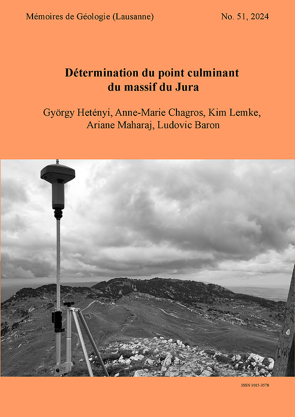
Le point culminant du Jura
Le Crêt de la Neige et Le Reculet sont historiquement mentionnés comme le plus haut sommet du massif du Jura. Leurs altitudes étant très proches, nous les avons mesurées de manière précise (GPS différentiel), ainsi que celles de deux autres pointes qui paraissaient hautes sur des cartes. Les résultats montrent qu’une de ces deux pointes, nommée “J1”, atteint une altitude de 1720,83 mètres, et ainsi dépasse le Crêt de la Neige (1718,06 m) et Le Reculet (1717,14 m).
Notre rapport complet est disponible ICI.
DIVE 2024 Science Workshop
From July 10th to 12th scientists of the DIVE project and associated researchers will gather in Romagnano Sesia, in the geological Ivrea-Verbano Zone, for the 2024 Science Workshop of the project. With both boreholes fully cored, and hundreds of samples already with the researchers, this workshop will be the prime venue to discuss first results, present further research steps, coordinate joint interests, and foster sample and data sharing. With 39 participants, 19 presentations, and ample time for discussions, we look forward to a productive meeting. The workshop is co-funded by UNIL’s Interdisciplinary Centre for Mountain Research (CIRM), and well as the International Lithosphere Program (ILP).
Un buco di quasi mille metri per esplorare le profondità della Terra
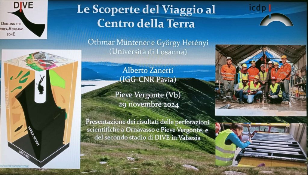
It is high time for the first post in Italian! Thanks to Marco Gritti from TV Svizzera, you can read and watch a summary of the recently finished borehole and project DIVE activities here.
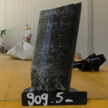
ICDP-DIVE DT-1A hole completed at 909.5 m depth
After half a year spent in Megolo di Mezzo, the drilling activities at the DT-1A borehole are now completed. The hole has reached a final depth of 909.5 metres, fully cored! A little closing ceremony took place at the end of April (see photo), before borehole logging activites on site, and final core description and sampling party in the core repository (in preparation). A big THANK YOU to everyone who has contributed the successful operations!
Voyage au centre de la Terre
Reportage sur le site de forage DIVE grâce à Laure-Anne Pessina, Fabrice Ducrest et Marco Venier, également au format vidéo:
DIVE DT-1A passes 700 m depth
Reportage sur le projet DIVE dans CQFD
L’équipe de la RTS s’est rendu sur le site de forage scientifique DIVE début janvier pour amener des nouvelles du projet aux auditeurs/auditrices. Vous pouvez écouter le reportage paru dans l’émission CQFD du 23 janvier ICI.
Cependant, le forage a atteint 475 m de profondeur, et continue d’amener des carottes intéressantes.