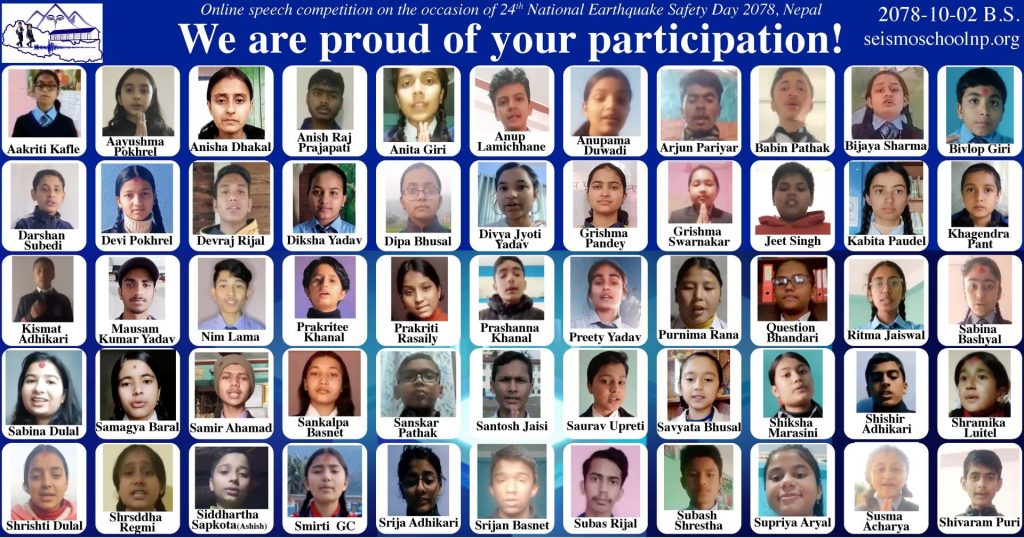
Although the calendar year is still to end, good conditions for full-day fieldwork ended in October when setting back to Winter time. We used the last opportunity to return to the field, for the third time this year, and finished the measurement campaigns in a beautiful yet locally steep environment. Further details in 2022!
The late 19th century is the era known as the dawn of seismology: a few stations operate around the world and record waveforms on paper. Can you do real work with those data? Until now these data were considered insufficient or inaccurate. In our recent paper in The Seismic Record, we have recollected all original data, performed uncertainty analysis, and precisely calculated the seismological epicentre of the devastating earthquake that has hit the Shillong Plateau. The location confirms that the buried Oldham fault, previously suggested based on trigonometric survey data and geodetic modelling, is the source of this earthquake. The alternative scenarios, the earthquake happening on other long faults that are visible at the surface, have been ruled out. The results are likely the oldest instrumental locating of an earthquake.
There is a particular cluster of earthquakes at about 70 km beneath the Himalaya and southern Tibet, which has been re-assessed in our recent paper. It can have a metamorphic origin from dehydration reactions, but it also connects to a major basement fault zone that cuts across the orogen at depth.
In preparation for the deepest drilling target of the DIVE project, the first results of the seismic reflection site survey across the Insubric Line and at the Balmuccia peridotite body have recently been published in Tectonophysics. They show that the near vertical structures seen at the surface can be continued downwards for about 1 kilometer without major disruption, which is both a methodological achievment and good news for further site investigations.
Yes, these two words are somehow connected. Hindiusm’s rich literature include several stories where earthquakes and related phenomena are described. And exactly these can be very useful to communicate about earthquakes to people with religious backround and religious perception of our environment. Our most recent work lead by Shiba Subedi explores this topic, which you can read in full length and in a shorter summary, including illustrations.
“Les temps géologiques : la grande histoire de la Terre” est un vidéo réalisé pour les Mystères de l’UNIL édition 2021, les portes ouvertes de notre université.
Tout ce que tu as voulu savoir sur l’histoire de la Terre, depuis l’origine de la vie, en passant par la disparition des dinosaures jusqu’à nos jours (Anthropocène) et les tremblements de terre.
Despite the varying weather conditions our group could undertake fieldwork in the area shown on the photo below. We plan to launch an open modelling challenge by sharing the new data and inviting anyone to submit models explaining the data. More details to come after data preprocessing.
Our new seismic and gravity data enabled a high-resolution passive geophysical imaging study, and constrained the structure and physical properties of the Ivrea Geophysical Body along the Val Sesia profile. The structure fits well the local and regional geology, the densities and velocities fit well the rock’s properties in situ. What else? The shallowest portion of the discontinuity appears to be relatively sharp (ca. 400-600 m transition thickness). For details, see our recent Frontiers in Earth Sciences paper, lead by Matteo Scarponi. What’s next? Active geophysical results… (some patience, please).
The overall rate at which rocks transform to other rocks under high pressure and temperature (metamorphism) is classically constrained from analysing samples that fit in one’s hand, or even smaller scales (for example powder). Our most recent paper presents a coupled geophysical-petrological model constrained by field data, showing that the apparent rate of transformation in the lower crust beneath the Himalayas fits very well the small-scale estimates. This is the first estimate over long time‐ and large spatial scales, demonstrating that regional metamorphic rates can be realistically upscaled for geodynamic modelling. Full details in this open access paper – the graphical abstract is here below.
If you wonder how the Swiss Geosciences community imagines the future of large research infrastructures, a recommended reading is the recently released report: Geosciences Roadmap for Research Infrastructures 2025–2028. With acknowledgements for all the work to all contributors, working group leaders, and the main authors Werner Eugster and Lukas P Baumgartner!