Field Visits for Understanding Accelerated Surface Movements in Joshimath, Chamoli, Uttarakhand India
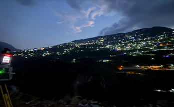
Joshimath, a hill town in India’s Garhwal Himalayas, is densely populated despite its fragile terrain and proximity to the active Himalayan thrust faults. The town rests on old extensive landslide …
Field Visits for Understanding Accelerated Surface Movements in Joshimath, Chamoli, Uttarakhand India Read More