
Welcome to the website of the Risk Analysis group of the Institute of Earth Sciences of the University of Lausanne. This group is part of the Faculty of Geosciences and Environment, and replaces the former Institute of Geomatics and Risk Analysis (IGAR).
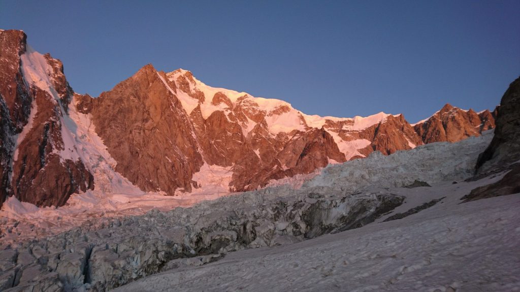
Our research focuses on the study of natural hazards and risks induced by surface and atmospheric phenomena, and their perception and impact on society. Our work combines fieldwork, in-situ and remote techniques investigations, laboratory experiments and numerical modelling in order to characterize soil and rock degradation, alteration and dismantling; mainly in the Alpine chain. A better understanding, quantification and forecast of mass wasting processes and related risks in mountainous areas help improve decision making processes, crisis management and disaster risk reduction to build disaster resilient communities.
Teaching activities include BSc and MSc and level classes at the University of Lausanne regarding natural hazards and risks assessment, risk management, communication, quantification and monitoring. Members of the Risk group also participate in the organization of international conferences, short courses and doctoral schools.

News
- Zenan Huo : “High-Resolution Material Point Method: Development and Application to Landslide Dynamics”Zenan HuoDirector: Prof. Dr. Michel Jaboyedoff,Co-director : Prof. Dr. Yury PodladchikovJury: Prof. Dr. Giovanni Crosta, Prof. Dr. Johan Gaume, Dr. Ivan Utkin Standing at the intersection of rapidly advancing computing …
- Welcome Eugène Mettraux (Civil Servant)Eugène Mettraux completed a master’s degree in physics at EPFL. His work involves data analysis and applied statistical methods. He spent six months of his civil service in the RISK group under the supervision of Prof. Michel Jaboyedoff. During this time, he led an analysis of …
- Virtual Geoscience Conference (VGC) 2025The sixth Virtual Geoscience Conference came back to the University of Lausanne from the 9th to 12th of September 2025. A full day of short courses on the 9th of …
- Welcome PhD Student Anuradha KarunakalageMy name is Anuradha Karunakalage, and I am currently pursuing my doctoral studies as a cotutelle Ph.D. student jointly enrolled at the Indian Institute of Technology (IIT) Roorkee and the University of Lausanne …
- Welcome Visiting PhD Student Weibo RaoWeibo Rao is a PhD student from China university of Geosciences (Wuhan), jointly trained by GEOMAR Helmholtz Centre for Ocean Research (Kiel). His research focuses on developing key technologies for automated …
Blog
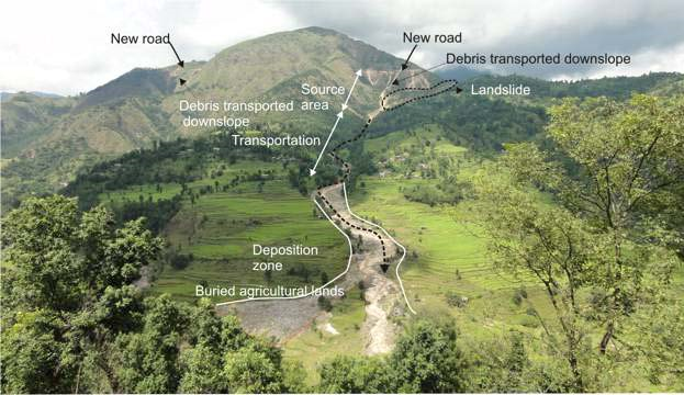
- From Glacier Monitoring to School Preparedness: Community Awareness and Outreach Campaign and GLOF and Scaling Avalanche and GLOF Risk Reduction in Nepal HimalayasDeepak KC, PhD Student and Prof Michel Jaboyedoff, University of Lausanne The NEPALPINE initiative—kNowledge Exchange to Promote Awareness of natural hazards and related Preparedness In Nepal—is a collaborative outreach partnership …
- Zenan Huo : “High-Resolution Material Point Method: Development and Application to Landslide Dynamics”Zenan HuoDirector: Prof. Dr. Michel Jaboyedoff,Co-director : Prof. Dr. Yury PodladchikovJury: Prof. Dr. Giovanni Crosta, Prof. Dr. Johan Gaume, Dr. Ivan Utkin Standing at the intersection of rapidly advancing computing …
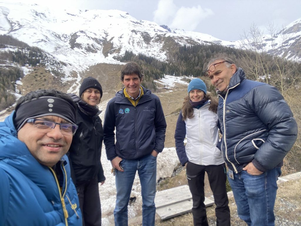
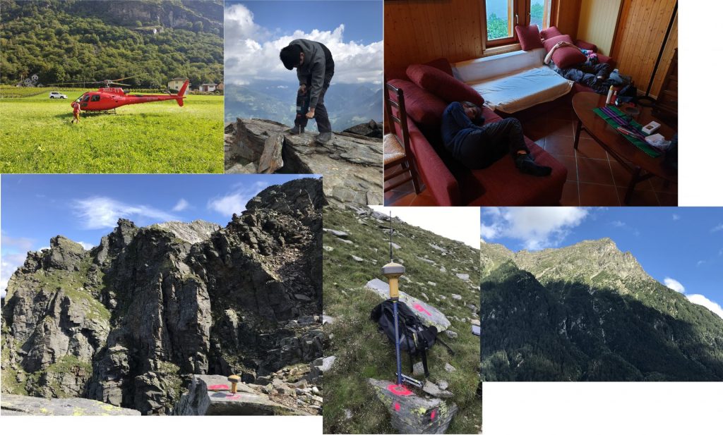
- JAG 2025 Aosta – Risk group attendanceMembers of the Risk Group helped co-organize the french-speaking conference “Journées Aléas Gravitaires 2025”, and attended the conference, which took place from September 23rd to September 25th at the Università …
- Welcome Eugène Mettraux (Civil Servant)Eugène Mettraux completed a master’s degree in physics at EPFL. His work involves data analysis and applied statistical methods. He spent six months of his civil service in the RISK group under the supervision of Prof. Michel Jaboyedoff. During this time, he led an analysis of …
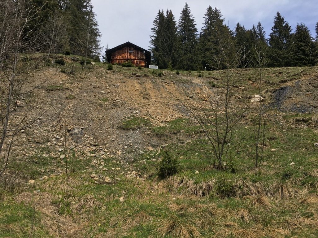
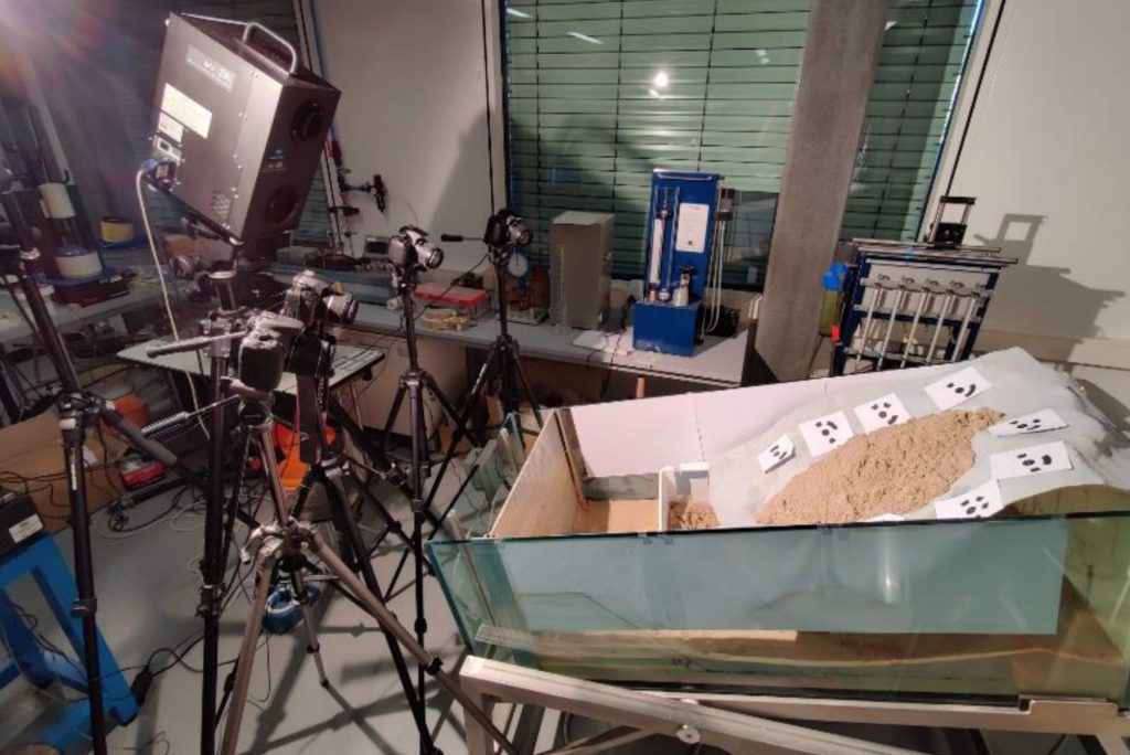
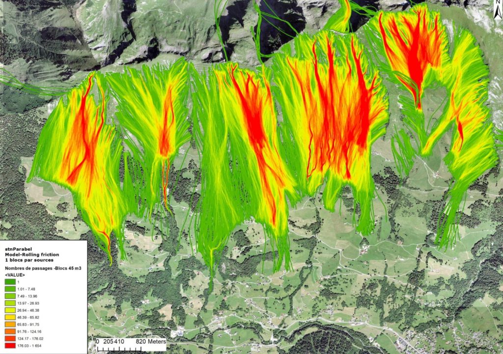
- Aurélien Gay-des-Combes: Analyse des processus gravitaires du flanc des Revenettes (Commune de Trient, Valais)This study focuses on gravitational processes affecting the slope of the Revenettes, located inthe municipality of Trient, in the canton of Valais, within the Swiss Alps. This area is mainlycomposed …