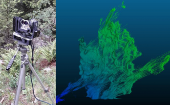
Dent Blanche laser scanning campaign
On August 23, with some colleagues of the Institute of Earth Surface Dynamics, we had the pleasure to go at the cabin of the Dent Blanche in the Hérens valley. …
Dent Blanche laser scanning campaign Read MoreDisaster Risk Reduction, Hazard Assesment, and Risk Analysis
On August 23, with some colleagues of the Institute of Earth Surface Dynamics, we had the pleasure to go at the cabin of the Dent Blanche in the Hérens valley. …
Dent Blanche laser scanning campaign Read MoreThe risk group had the pleasure to welcome two civil servants during some weeks. Naël Dillenbourg and Taavet Kangur are both presently students in microtechnics and robotics at EPFL. During …
Two visiting civil servants in electronics Read MoreLa recherche de solutions d’équipement à faible coût en géomatique et dans d’autres domaines est un thème abordé par un nombre croissant de chercheurs. Aujourd’hui, les ressources open-source du web, …
Cristiano Gygax: Scanner LiDAR terrestre à faible coût basé sur Arduino Read MoreCe travail de recherche s’intéresse à l’utilisation de la Mono-photogrammétrie (Mono-P) en tant que méthode de suivi de mouvements gravitaires dans un environnement rocheux. La Mono-P relie les données orthorectifiées …
Céline Cardot: La Mono-photogrammétrie comme méthode de suivi des mouvements gravitaires: évaluation du potentiel et des limites Read MoreLe but de ce travail est d’étudier l’évolution en surface du glissement du Pont Bourquin. Actif depuis 2004, il affecte des unités de gypse, flysch et schistes. D’une profondeur de …
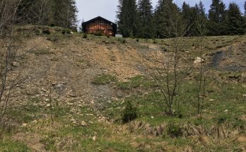
Marc Auer: Monitoring multi-technique du glissement de terrain du Pont-Bourquin (Les Diablerets) Read MoreA real-time, automated SfM monitoring technique was adapted and tested on the Pont Bourquin landslide in Ormont-Dessus, Switzerland, and on a small scale model in the lab. The technique involved …
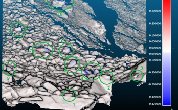
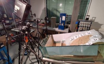
John Awad: Real-Time Automated SfM Monitoring for Landslides Read MoreL’objectif général de ce travail est d’évaluer et d’estimer le danger lié aux chutes de blocs le long de la chaine entre le Pic Chaussy et La Pare, au-dessus du …
Adrien Jeannerat: Evaluation et analyse des dangers de chute de blocs entre le Pic Chaussy et La Pare (VD) Read MoreThis year again the usual fieldtrip in Southern France for landslides mapping, rock stability an debris flows analysis was cancelled due to the sanitary conditions. However several days of fieldwork …
Field course 2021 for master students Read MoreThe modeling of block falls in order to establish forecasts of their scope and magnitude has been evolving for several years, due to the use of new tools and methods …
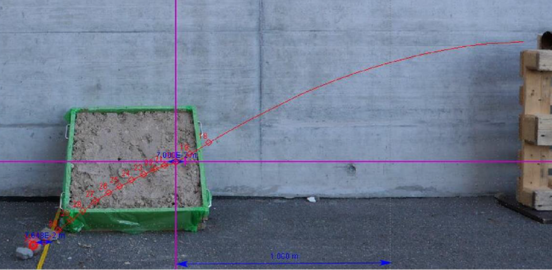
Baptiste Englert: Reconstruction de trajectoires 3D et calcul de paramètres d’impact latéraux dans le contexte des chutes de pierres par une méthode de tracking et une expérience à petite échelle Read MoreSuperficial alteration of rocks caused by thermal stresses is often overlooked to the benefit of other mechanism such as frost shattering, rain or earthquakes. However its effect can be significant …
Vincent Regard: Synthesis and Exploration of Rock’s Alterations due to Thermal Stress Under the Read More