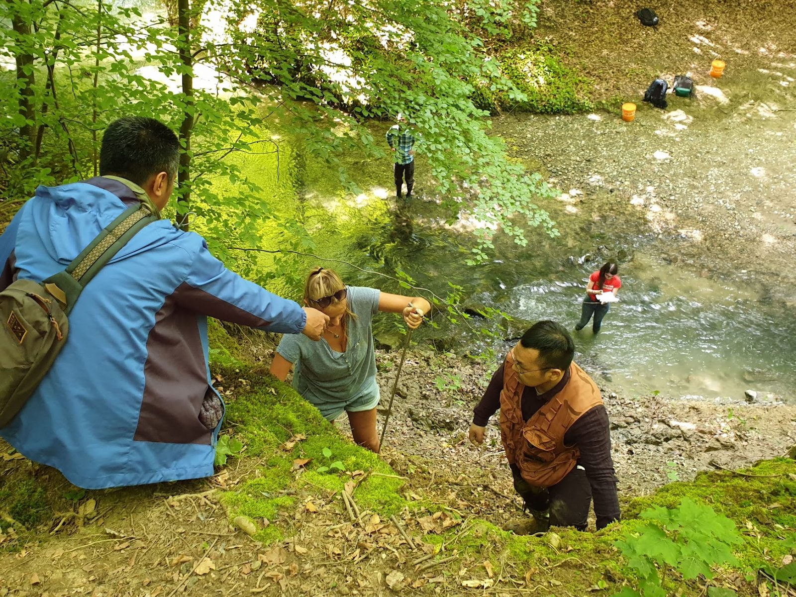
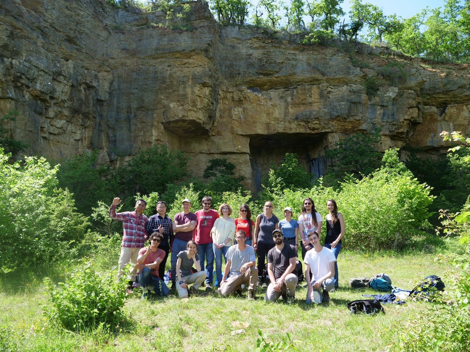
This year again the usual fieldtrip in Southern France for landslides mapping, rock stability an debris flows analysis was cancelled due to the sanitary conditions. However several days of fieldwork were organized around Lausanne. The first week was about the shallow landslides on the site of the University (mapping, characterization, soil mechanical properties in the lab and stability modelling). During the second week, we went to an old quarry of limestones to analyze rock discontinuities and make LiDAR scans. These data were then used to make point cloud analysis and rock stability assessment.