Mapping and Monitoring of Landslides using LIDAR
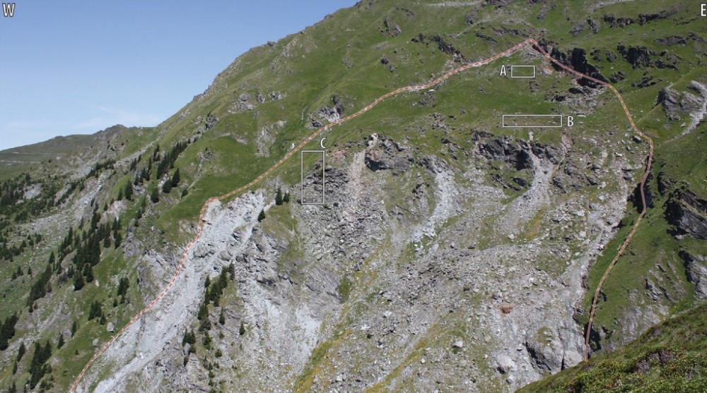
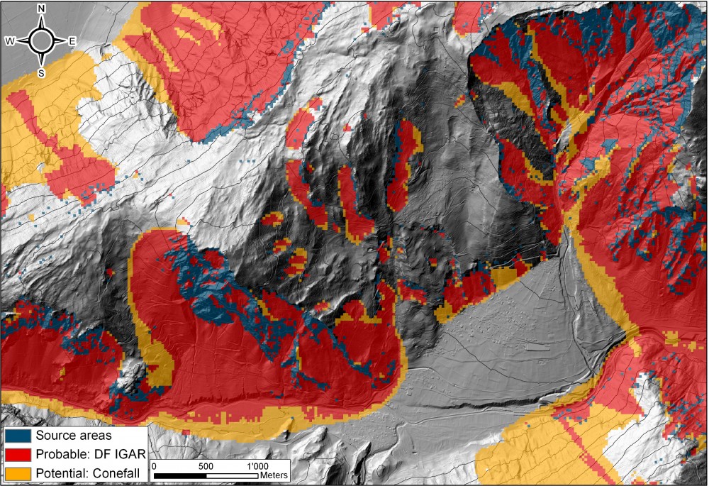
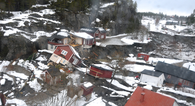
Abstract : During the past 20 years, the fast development of several remote sensors (e.g. Optical imaging, LIDAR, RADAR, etc.) assembled on satellite, aerial or terrestrial platforms is changing our …
Mapping and Monitoring of Landslides using LIDAR Read More


