SafeLand was a Large-scale integrating Collaborative research project funded by the The Seventh Framework Programme for research and technological development (FP7) of the European Commission. The project team, composed of 27 institutions from 13 European countries, was coordinated by Norwegian Geotechnical Institute (NGI).
SafeLand aimed at developing generic quantitative risk assessment and management tools and strategies for landslides at local, regional, European scales. It also established the baseline for the risk associated with landslides in Europe, and improved our ability to forecast landslide and detect hazard and risk zones.
During this 3-years project, our group mainly contributed to the following deliverables:
- D 1.6: Analysis of landslides triggered by anthropogenic factors in Europe
- D 2.10: Identification of landslide hazard and risk “hotspots” in Europe
- D 4.1: Review of Techniques for Landslide Detection, Fast Characterization, Rapid Mapping and Long-Term Monitoring (as Editor)
- D 4.4: Guidelines for the selection of appropriate remote sensing technologies for monitoring different types of landslides
- D 4.8: Guidelines for landslide monitoring and early warning systems in Europe – Design and required technology
- D 5.1: Compendium of tested and innovative structural, non-structural and risk-transfer mitigation measures for different landslide types
All deliverables and more information about the SafeLand project can be found on www.safeland-fp7.eu.
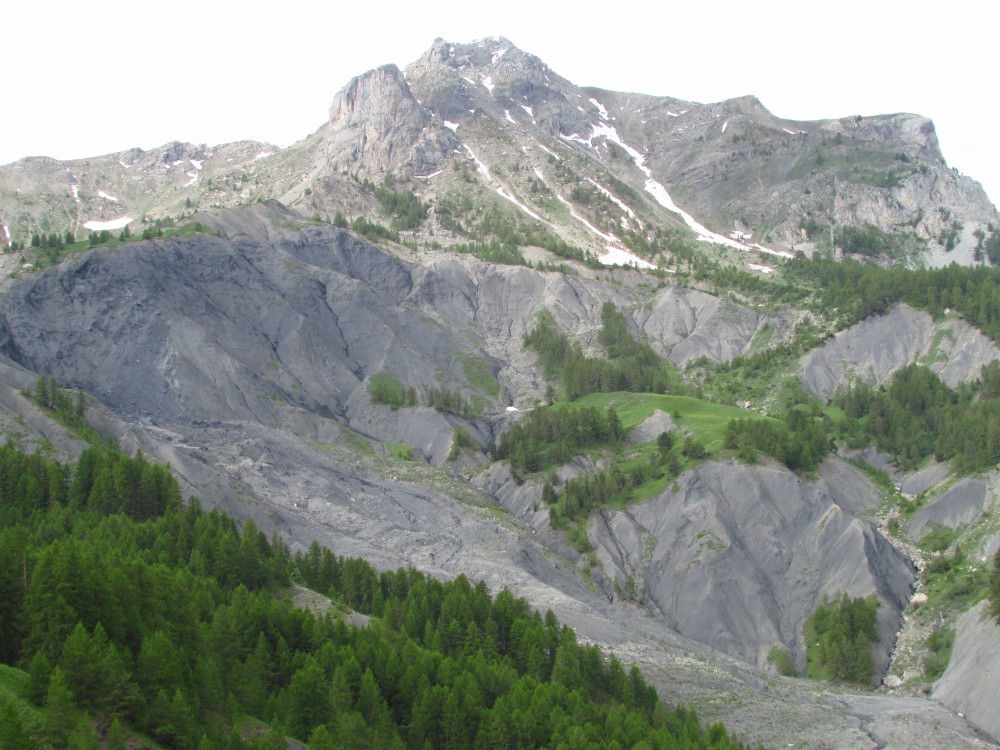
Featured image: Landslide in Namsos, Norway (copyright SafeLand)