Large rockfall in Wolhusen
River damming by rockfall in Wohlusen (LU), Switzerland, on 11 January 2016. At 3 AM on 11 January 2016, a 5’000 cubic meters rockfall fell from a 50 m height cliff in …
Large rockfall in Wolhusen Read MoreDisaster Risk Reduction, Hazard Assesment, and Risk Analysis
River damming by rockfall in Wohlusen (LU), Switzerland, on 11 January 2016. At 3 AM on 11 January 2016, a 5’000 cubic meters rockfall fell from a 50 m height cliff in …
Large rockfall in Wolhusen Read MoreTwelve persons of the Risk Group participated to the European Geosciences Union (EGU) General Assembly in Vienna, Austria, on 17 April to 22 May 2016. This huge meeting brought together 13’650 scientists …
Risk group @ EGU 2016 in Vienna Read MoreIn early June 2016, M. Jaboyedoff participated to a field visit of the project Parachute lead by Prof Jacques Locat and Dr. Catherine Cloutier at University Laval (Québec, Canada). The …
ParaChute Project (ULAVAL: rockfall hazard methodology along communication routes) Read More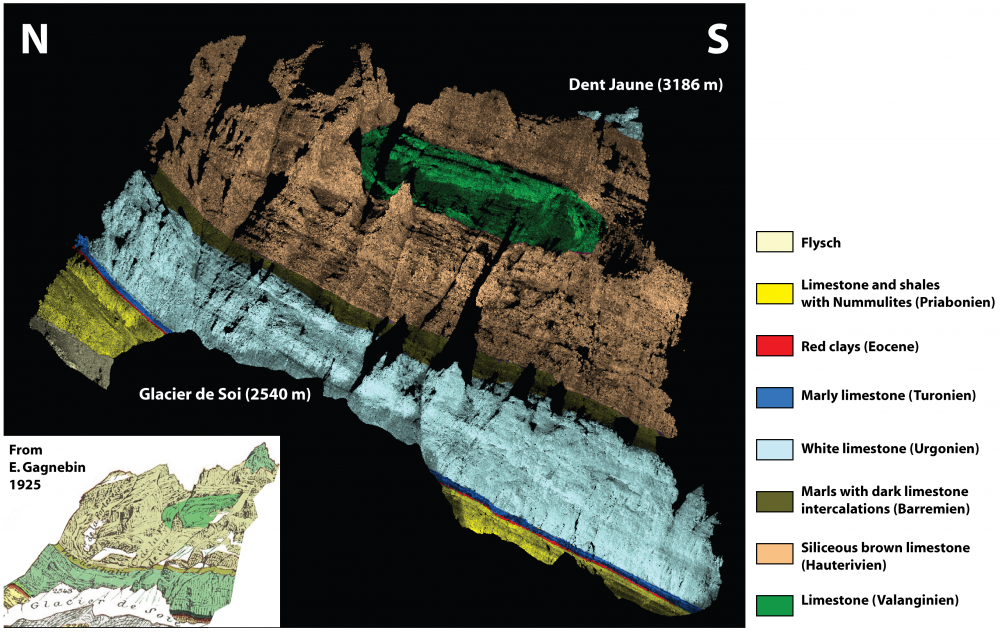
Battista Matasci Director: Prof. Michel Jaboyedoff Jury: Dr. Marc-Henri Derron, Dr. Greg M. Stock, Dr. Brian Collins, Prof. Giovanni B. Crosta, Dean François Bussy Characterizing the geological features and structures …
Battista Matasci: Rockfall susceptibility assessment and remote geological mapping with LiDAR point clouds Read More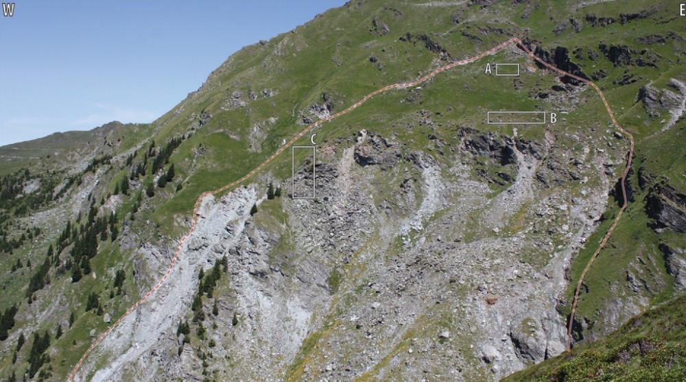
Clément Michoud Directors: Prof. Michel Jaboyedoff and Dr. Marc-Henri Derron Jury: Dr. François J. Baillifard, Prof. Lars H. Blikra, Prof. Jacques Locat, Dean François Bussy Landslide processes can have direct …
Clément Michoud: From Regional Landslide Detection to Site-Specific Slope Deformation Monitoring and Modelling Based on Active Remote Sensors Read MoreTopic: New generation of geohazard mapping and strategy for its social application (12 March 2016 – DPRI, Uji Campus Kyoto University) https://www.dpri.kyoto-u.ac.jp/news_en/6574/ Prof. M. Chigira from the DPRI (Disaster Prevention …
GADRI (Global Alliance of Disaster Research Institutes) Geohazard Group Meeting 2016 Read MoreA prototype using open-source WebGIS technologies has been implemented to make data on hazard impacts, such as damaged infrastructure, landslides or flooding events available to authorities and the general public. …
Rapid Offline-Online Landslide Mapping tool (ROOl Map) Read MoreUNIL RISK Group were in Nepal for two weeks to involve in different activities. The first purpose was to present our works at FIG workshop “International workshop on post 2015 Nepal …
Nepal Field Trip! Read MoreWe were invited to present the results of our investigations about landslide movements using Structure from motion (SfM). M. Jaboyedoff made a presentation of the main application of the Risk …
2ème séminaire photogrammétrie et dynamiques de surface, 24-25.11.2015 – Yenne (France) Read MoreStabilité des parois de molasse dans la région de Fribourg Since March 2015, a new project has started with the Canton of Fribourg dealing with cliffs collapse in marine molasses. Mariam …
Molasse stability at Fribourg Read MoreLARAM School (LAndslide Risk Assessment and Mitigation)-2015 3rd Asia Course 14 – 25th September 2015, Chengdu (China) “???????????” ?????? 2015 LARAM is an International School on “LAndslide Risk Assessment and Mitigation” of …
Two PhD students at the Laram School 2015 – China Read MoreFOSS4G (Free and Open Source Software for Geospatial) is the annual global event by OSGeo, focusing on open-source geospatial solutions. It brings together developers, users, businessmen and academic researchers working …
FOSS4G conference in Seoul, South Korea (16-18 September, 2015) Read More