
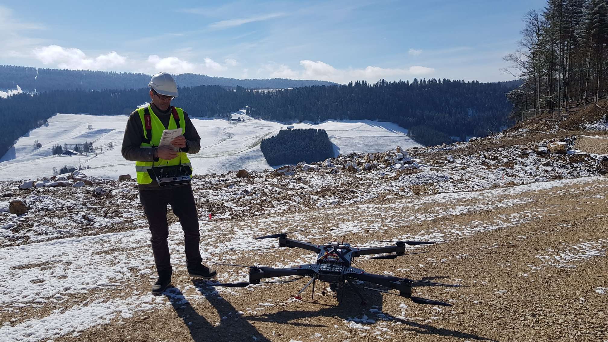
On 28 March, the risk group was back again at Le Locle for some laser scanning of the quarry des Granges. Three Lidar systems were used, one terrestrial Lidar from the bottom and two UAV-Lidar from the top of the quarry.
The data will be used to document the progress of the tunnel boring work on the Le Locle bypass road. As two UAV-Lidar systems have been used, that will also be the opportunity to compare the results of those two systems.