
(24/8/2022) Summer time was a great time for doing monitoring fieldwork. This project is part of the project “ Stability study of the northern slope along the RD 1091“, a cooperation between the Risk Group – ISTE University of Lausanne, Le Conseil Departemental Des Hautes Alpes, and INRAE Univ. Grenoble. Activities include acquiring LiDAR, high-resolution Panoramic Camera, and field checks from historical event of rockfall occurring in the area.
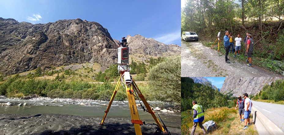
Photo Acquiring LiDAR data (right). Discussion with team from INRAE and Departemental Des Hautes Alpes(top right); field check for occurring location of rock fall (bottom right). (Photo by : Choanji, T)