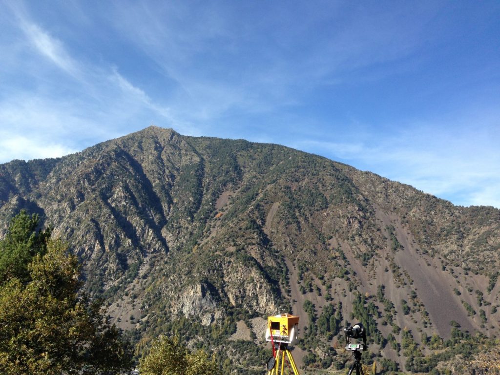
The Risk Analysis Group (C. d’Almeida, F.Noël) spent a week in the principality of Andorra to carry out lidar survey. The city of Andorra-la-Vella, located in the hearth of the Pyrenees is a very dense city surrounded by landslides and active cliffs.

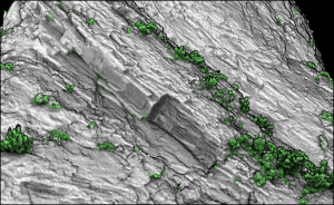
Lidar and photographs survey of 12 sites were performed. These sites were previously monitored by the Risk Analysis Group (Antonio Abellan) in 2009 and 2012. Exploiting the lidar scans will permit to quantify the erosion activity of the cliffs and detect potential instabilities. The Risk Analysis Group thanks the geo-hazard expert Joan Torrebadella from Georisk-international for his warm welcome, and accompanying during this week.

