Emmanuel Wick: Etude détaillée d’un bassin versant à laves torrentielles le long de la Route Internationale n° 7, Courbe de Guido, Province de Mendoza, Argentine
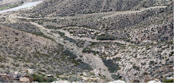
Emmanuel Wick Supervisors: Prof. Dr. Michel Jaboyedoff, Valérie Baumann The International Road 7 crosses Argentina from East to West, linking Buenos Aires to the Chile border. While crossing the Andes …
Emmanuel Wick: Etude détaillée d’un bassin versant à laves torrentielles le long de la Route Internationale n° 7, Courbe de Guido, Province de Mendoza, Argentine Read More