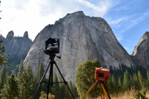
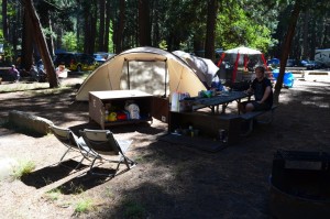
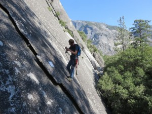
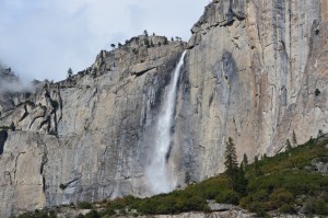
From 1 to 23 October, Antoine Guerin, Olivier Dubas and Michel Jaboyedoff spent three weeks at the North Pines Campground in the Yosemite Valley (California, USA). Since 2010, the Risk group works with GregStock of the Yosemite National Park service and with Brian Collins of the US Geological Survey to study rockfalls in this popular area. That was the fourth time the Risk group went there!
All the famous cliffs of the valley (El Capitan, Half Dome, Cathedral, Glacier Point, Three Brothers, Rhombus wall…) have been periodically scanned with our Optech IlRIS LiDAR. The new 2015 data will be compared with the 2013 point clouds in order to identify rockfalls and complete the inventory of events maintained daily by Greg Stock. The purpose of this study is to improve the understanding of processes that control the erosion of steep rockwalls.
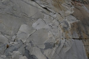
A series of thermal panoramas were also taken in the evening to see the effect of cooling on a cliff, in particular air propagation in fractured areas. Finally, a 24-hour monitoring was done on a 19 m high and 10 cm thick rocky flake. Thermal images were collected every 20 minutes and LiDAR acquisitions every hour. At night and within a dense forest, amid deers, bobcats and squirrels, this experience will be unforgettable!

