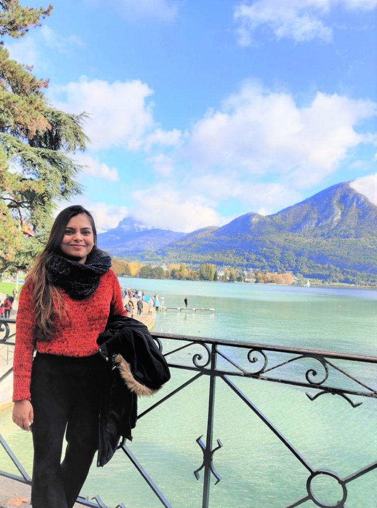
Hello, my name is Shobhana Lakhera I have started my PhD at the Risk Group, Institute of Earth Sciences, UNIL. I have a background of Remote Sensing and GIS with specialization in Geosciences. For my PhD I am working on utilizing the satellite based interferometric techniques for analyzing slope failures in the Indian Garhwal Himalayan region. During my PhD I will also focus on modelling and simulation of complex events and impacts of climatic variables on slope failures. I am also keen to acquire knowledge on LiDAR based remote sensing techniques.
Publications, projects and abstracts:
Abstract for EGU 2022: Numerical Calculations & Scenario Reconstruction of the 7th of Feb’21, Chamoli Event-In Terms of Velocity-Energy and Sediment-Water Amount Changes by S. Lakhera et al.
Publication, 2021: Establishing Soil Moisture and Rainfall Intensity-Duration Thresholds for Initiation of Mass Movements Along the National Higway-58 in the Chamoli District of Uttarakhand by S. Lakhera et al.
Contact: shobhana.lakhera@unil.ch

