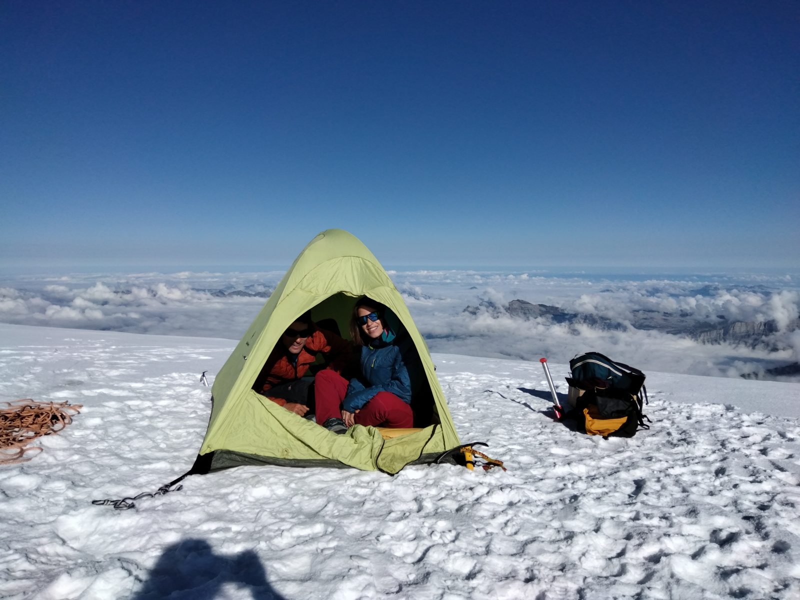
It has been decided to start a new and challenging project : Scanning the main cliffs in the heart of the Mont Blanc massif to start an inventory. The aim is to have now a kind of ‘0 state of the massif’ for future comparisons when rock or ice blocks fall down.
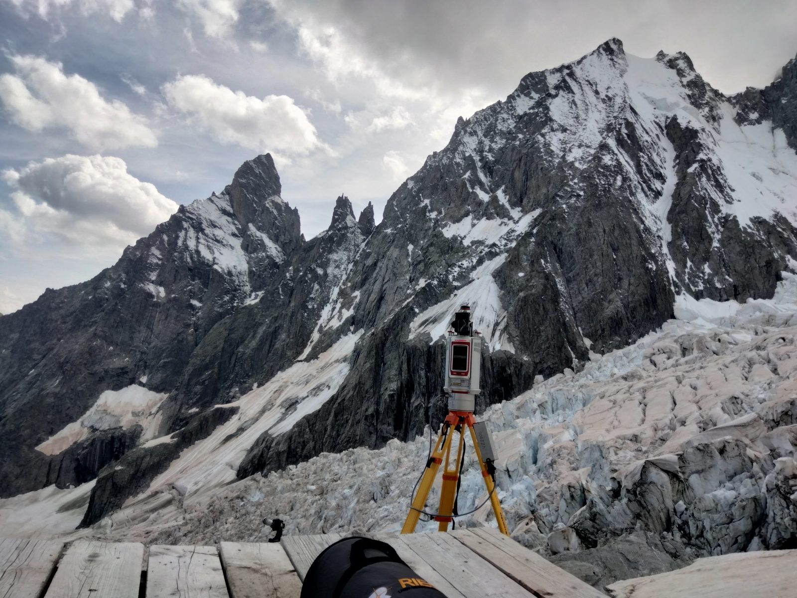
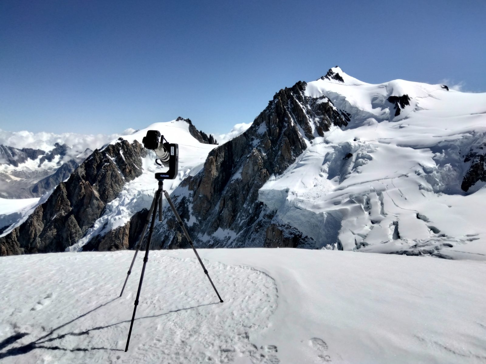
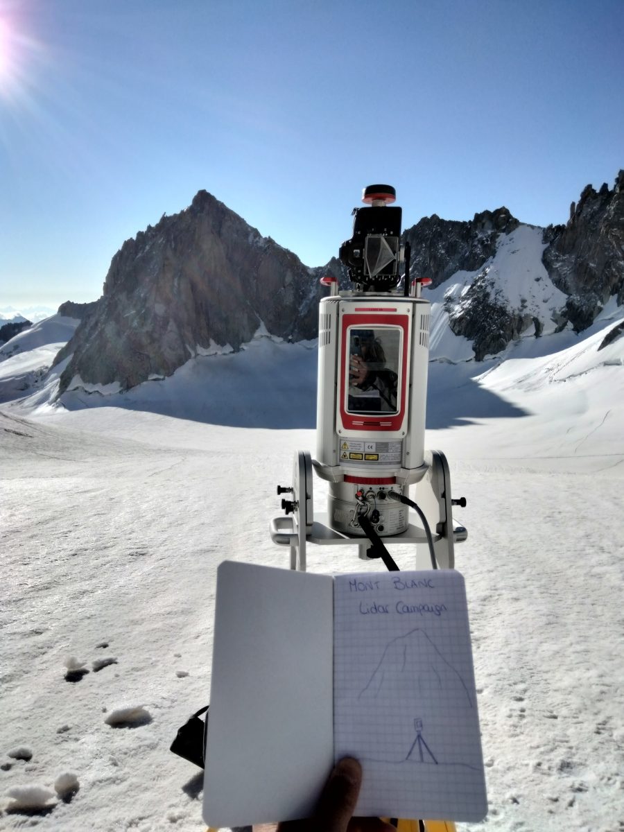
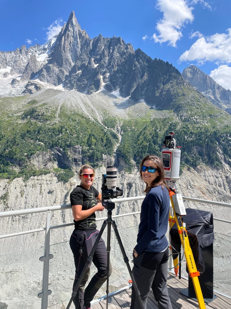
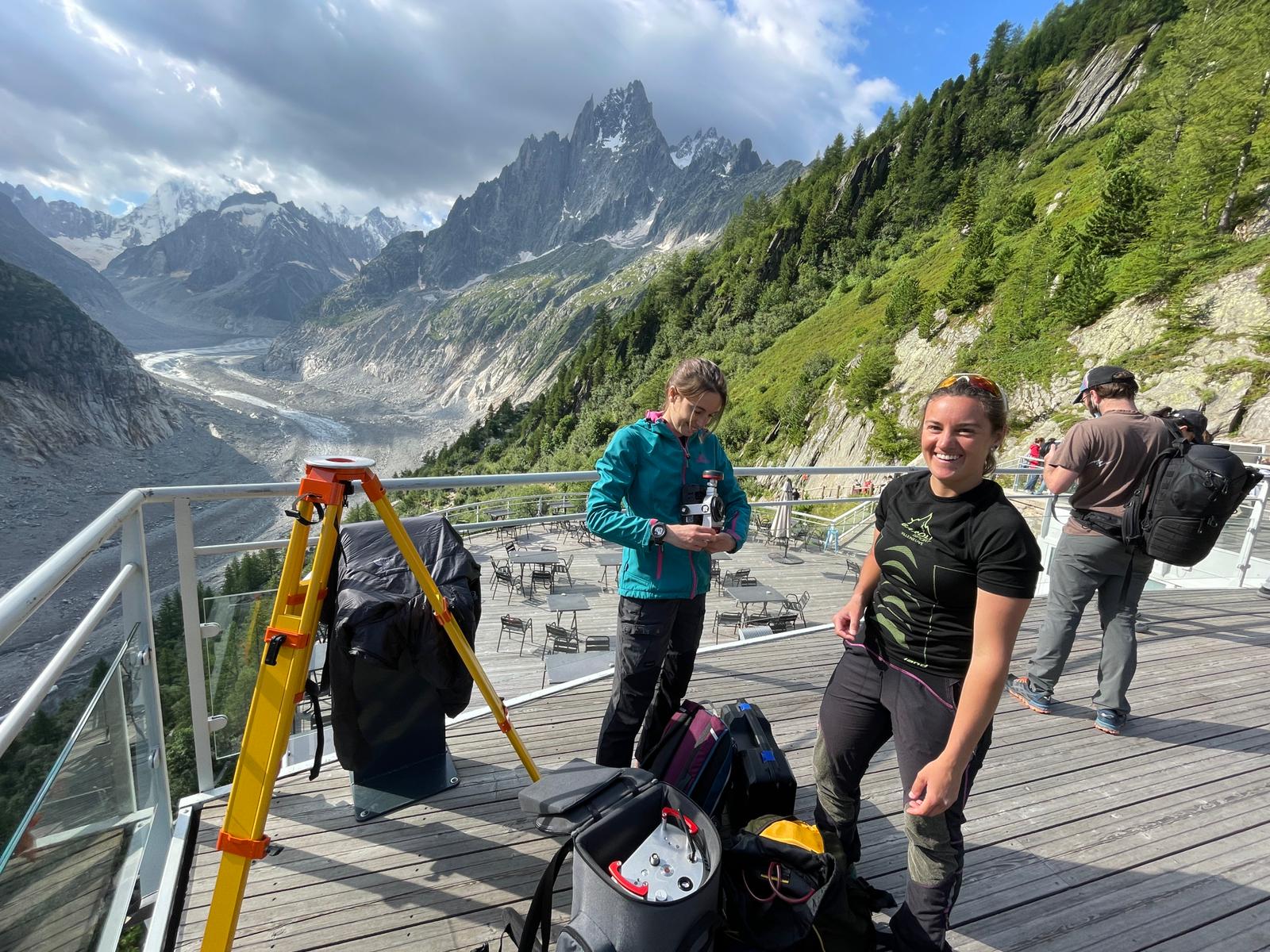
This project started in August 2021 with two weeks of Lidar acquisitions, combined with Gigapixel panorama images. A terrestrial laser scanner Riegl VZ-6000 (with a range of acquisition up to 6 km) and a Clauss Pixplorer are used to acquire the data.
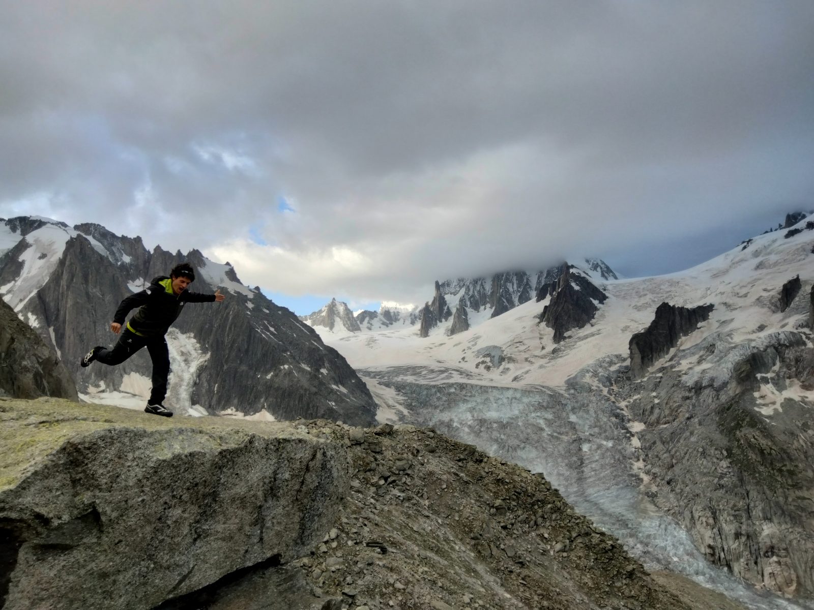
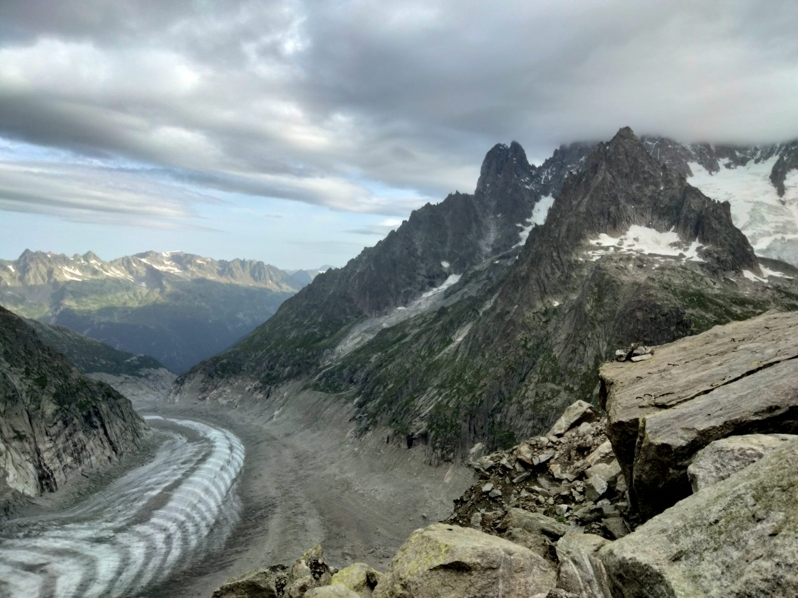
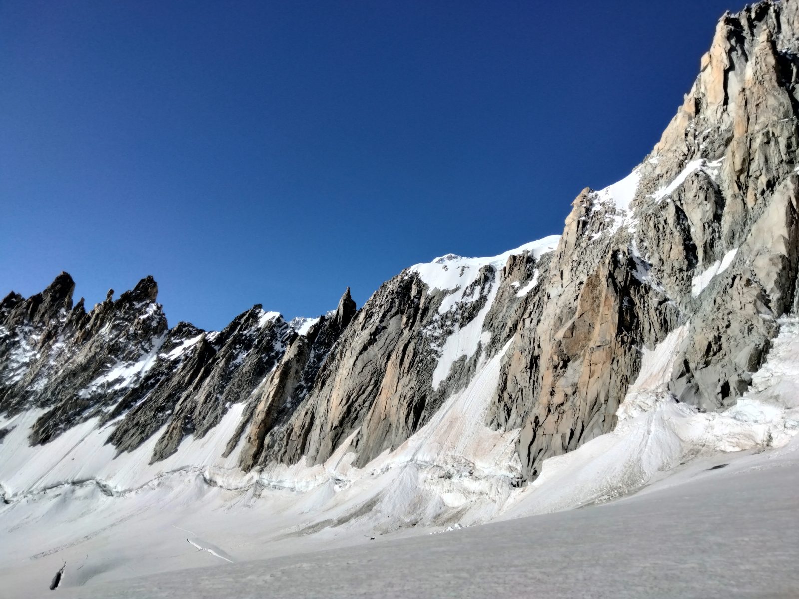
Several people, master students and PhD students have been involved in the acquisitions, to decide where and what to scan. For now, we have scanned l’Aiguille du Midi, the Drus chain, la Brenva or les Monts Maudits, among other very interesting things.
This project is only at its beginning and, if the weather allows it, we will continue the acquisitions in September and October, until the snow covers the main walls and the temperatures are too low.