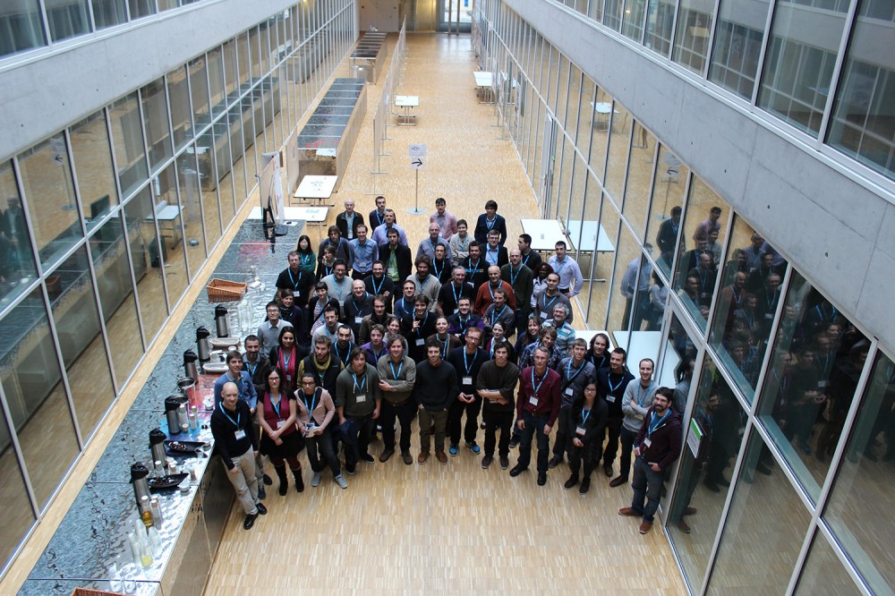
The first Vertical Geology Conference took place at the University of Lausanne on the 6th and 7th of February 2014. A full-day short course on LiDAR techniques applied to structural geology investigations was proposed the day before the conference. The conference was focused on remote sensing of ground surface and digital processing to support 3D geological modeling and interpretation in various fields of the geosciences.
On this page, you’ll find :
Further information is still available on the conference website.
Presentations
Part of the slides and posters presented at the first vertical geology conference (VCG14) are available below.
Remote sensing and geophysics
| Michoud et al. |
Rockfall Detection and Landslide Monitoring Ability of Boat-based Mobile Laser Scanning along Dieppe Coastal Cliffs |
PDF |
| Wujanz et al. |
Automatic registration of terrestrial laser scans for geological deformation monitoring |
PDF |
Structural and 3D geological modeling
| Humair et al. |
Folding investigations using TLS |
PDF |
| Matasci et al. |
Geological mapping using TLS point clouds: the dents du midi massif (Switzerland) |
PDF |
| Riquelme et al. |
Rock slope discontinuity extraction and stability analysis from 3D point clouds: application to an urban rock slope |
PDF |
Digital outcrop and 3D geology
| Assali et al. |
Geostructural mapping and key bloc modeling by terrestrial laser scanning and digital imaging – Solid image contributions for outcrop inspection |
PDF |
| Garcia Selles et al. |
Capture and geological data extraction: Tools for a better analysis and Digital outcrop modelling |
PDF |
Engineering geology and slope processes
| D’Amato et al. |
Investigating rockfall failure configurations using terrestrial laser scanner (TLS) |
PDF |
| Matano et al. |
Laser Scanning Applications for Monitoring Tuffaceous Coastal Cliff in the Pozzuoli Bay, Punta Epitaffio Site, Italy: preliminary results |
PDF |
| Wujanz et al. |
Terrestrial radar and laser scanning for deformation monitoring: first steps towards assisted radar scanning |
PDF |
| Zaczek-Peplinska et al. |
Analysis of the possibility for using the results of terrestrial laser scanning (TLS) measurements and classification algorithms of images for the engineering structure surface condition assessment |
PDF |
Program
Wednesday (short-course)
| 08 00 |
Introductive coffee |
| 08 30 |
Introduction |
|
Theory: |
|
– Theoretical background |
|
– Data processing and treatment |
|
– Commercial software |
| 10 30 |
Coffee break |
| 11 00 |
Theory: |
|
– Geological & Landslide Mapping |
|
– Rock structural characterisation |
|
– Monitoring Movements |
|
– Mobile laser scanning |
| 12 00 |
Lunch |
| 13 00 |
Practical work |
| 14 30 |
Coffee break |
| 15 00 |
Practical work |
|
Perspective and discussion |
| 16 30 |
Early registration for the conference |
| 17 00 |
WELCOME APERO |
Thursday
| 08 00 |
REGISTRATION |
|
| 08 50 |
Introduction |
|
| 09 00 |
State of the art of ground-based hyperspectral imaging in geo-science applications |
Tobias Kurz |
Remote sensing and geophysics (Chair: B. Collins and G. Teza) |
| 09 20 |
Geological, geophysical and geostatistical outcrop investigations for improving petrophysical characterization of meso-scale carbonate heterogeneities |
Christophe Matonti |
| 09 40 |
Integration of terrestrial laser scanning and thermal imaging aimed to characterize the joints of a sedimentary rock cliff |
Giordano Teza |
| 10 00 |
Coffee break in poster hall |
| 10 30 |
Mapping clay minerals in an open-pit mine using hyperspectral imagery and automated feature extraction |
Richard J. Murphy |
| 10 50 |
Rockfall Detection and Landslide Monitoring Ability of Boat-based Mobile Laser Scanning along Dieppe Coastal Cliffs |
Clément Michoud |
| 11 10 |
Automatic registration of terrestrial laser scans for geological deformation monitoring |
Daniel Wujanz |
| 11 30 |
Lunch |
|
| 13 30 |
Distribution and geometry of dolomite bodies in the Latemar platform (Dolomites, northern Italy) |
Carl Jacquemyn |
Structural and 3D geological modeling (Chair: M.-H. Derron and J.-L. Epard) |
| 13 50 |
Folding investigations using TLS |
Florian Humair |
| 14 10 |
Coffee break in poster hall |
| 14 50 |
Geological mapping using TLS point clouds: the dents du midi massif (Switzerland) |
Battista Matasci |
| 15 10 |
Two decades of tunnel small-scale mapping experience in the Mont Terri rock laboratory, St-Ursanne, Switzerland |
David Jaeggi |
| 15 30 |
Rock slope discontinuity extraction and stability analysis from 3D point clouds: application to an urban rock slope |
Adrian Riquelme |
| 15 50 |
Break |
|
| 16 30 |
POSTERS SESSION |
|
| 18 30 |
ICE BREAKER |
|
| 19 30 |
Dinner |
|
Friday
| 08 30 |
Coffee |
|
| 09 00 |
Photogrammetry for geological outcrop modelling: scales, accuracy and comparison to lidar |
Simon Buckley |
Digital outcrop and 3D geology (Chair: S. Viseur and S. Buckley |
| 09 20 |
3D interactive geological interpretations on digital outcrops using a touch pad |
Sophie Viseur |
| 09 40 |
Capture and geological data extraction: Tools for a better analysis and Digital outcrop modelling |
David Garcia Selles |
| 10 00 |
Coffee break in poster hall |
| 10 30 |
Geostructural mapping and key bloc modeling by terrestrial laser scanning and digital imaging – Solid image contributions for outcrop inspection |
Pierre Assali |
| 10 50 |
Supervised automated facies mapping using MPS methods |
Sophie Viseur |
| 11 10 |
Back-analysis of the 1810 Pollfjellet rockslide (northern Norway) using terrestrial laser scanning and GigaPan imagery |
Thierry Oppikofer |
| 11 30 |
Discussion about publication of proceedings |
| 11 50 |
Lunch |
|
| 13 20 |
Detecting thermally-driven cyclic deformation of an exfoliation sheet with lidar and radar |
Brian Collins |
Engineering geology and slope processes (Chair: T. Oppikofer and A. Abellan) |
| 13 40 |
Investigating rock fall failure configurations using terrestrial laser scanner |
Julie D’Amato |
| 14 00 |
Terrestrial RADAR and Laser Scanning for deformation monitoring: first steps toward assisted RADAR scanning |
Daniel Wujanz |
| 14 20 |
Coffee break in poster hall |
| 14 50 |
Evaluation of Rockfall Protection Shed Effectiveness Through Rockfall Iteration Modelling |
Matthew Ondercin |
| 15 10 |
Four Dimensional Modelling of the Mitchell Creek Landslide, B.C., Canada |
Anne Clayton |
| 15 30 |
Monitoring of the Sanières rockslide by the joint analysis of airborene/terrestrial LiDAR and stereophotogrammetric point clouds |
Alexandre Mathieu |
| 15 50 |
Mapping Alpine mass movements and elevation changes with space-borne and ground-based radar interferometry |
Jessica Papke |
| 16 00 |
Discussion |
|
| 16 30 |
CLOSURE |
|
| 17 15 |
Last apero |
|
Posters
| Detection of raw materials in waste sites from iron and steel production using multi-scale spectral and lidar measurement: Case study from Thuringia, Germany |
Michael Denk |
Remote sensing and geophysics |
| Bauxite Prospectivity Mapping Using ASTER Images, Jajarm, IRAN |
Masoud Bakhtyari Kia |
| Improving quality of open source Digital Elevation Models (DEMs) derived from ASTER GDEM and SRTM C-band using data fusion technique |
Hammadi Achour |
| ILRIS landslide automatic monitoring solution |
Dario Conforti |
| DEM-based calculation of residual topography: Application to the Quaternary salt dome tectonics in Northern Tunisia |
Noamen Rebai |
Structural and 3D geological modeling |
| 2D and 3D reconstruction of folds from TLS surveys |
Andrea Zanchi |
| First attempt to draw 3D geological contacts/limits from ALS, Gigapan and images in free access |
Liliane Nguyen |
| Terrestrial Laser Scanning: for Measurements of Structures Information in Geological Outcrops |
Marcelo Kehl de Souza |
| Three dimensional geological mapping of the vertical rock face of El Capitan, Yosemite (California, USA), with field work, gigapixel photography, and terrestrial laser scanning |
Battista Matasci |
Digital outcrop and 3D geology |
| Comparative Analysis of Point Cloud Obtained by Terrestrial Laser Scanner and Digital Photos for Application in Outcrop |
Reginaldo Macedonio da Silva |
| Characterization and Monitoring of Talus in Rock Slope Gullies Using High Temporal Resolution Terrestrial LiDAR and Gigapixel Photography |
Ryan Kromer |
| Vertical geology in the Torres del Paine, Patagonia, Chilie |
Lukas Baumgartner |
| Laser Scanning Applications for Monitoring Tuffaceous Coastal Cliff in the Pozzuoli Bay, Punta Epitaffio Site, Italy |
Fabio Matano |
Engineering geology and slope processes |
| Terrestrial remote sensing techniques for the preservation of cultural heritage sites from landslide hazard: the case of San Leo rock slab (northern Apennines, Italy) |
Margherita Cecilia Spreafico |
| Geological-geomechanical mapping and characterization of coastal cliffs from bathymetric and TLS coupled surveys |
Giovanni Crosta |
| Use of Global Mapper for old topographic map generation in the landslide back analysis application – Tunisian case of MC161 road |
Yasmine Trigui |
| Analysis of the possibility of using the results of laser scanning measurements and classification algorithms of raster images to inventory of the surface of the engineering structure |
Janina Zaczek Peplinska |
| Rockfalls detection and characterization in the west face of the Drus (Mont Blanc), based on Gigapixel images and Ter-restrial Laser Scanning |
Battista Matasci |
| A multidisciplinary approach aimed to the morphological and morphotectonic analysis of the Inner Cottian Alps (Italian Western Alps): a case study in the Germanasca Valley |
Marco Bacenetti |
| Mapping and analysis of the vulnerability in landslide (case study of Aïn Oktor-Korbous, Cap Bon- Northern Tunisia) |
Meriam Ben Hammouda |
| Investigating rockfall frequency using Terrestrial Laser Scanner |
Antoine Guerin |