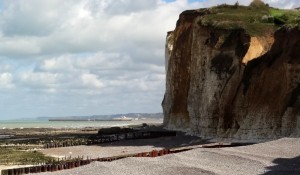
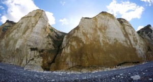
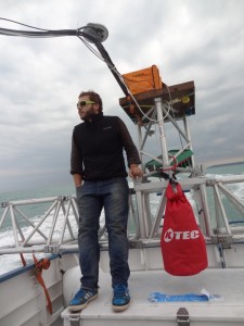
From 20 to 24 September 2015, Clément Michoud (PhD student), Jeremie Voumard (PhD student) and Patrick Huber (Msc student) were in the area of Dieppe (Normandy, France) for LiDAR acquisitions of cliffs from a boat on the sea Channel. They used a terrestrial laser scanner coupled to an inertial unit for this survey. Although the weather conditions were not ideal, they scanned about 40 km of coastal cliff .
In addition to LiDAR data, they also took several tens of gigabytes of pictures in order to get photogrammetric models of the cliffs. Both reflex and GoPro cameras were used. When onshore, they visited landslides and rockfalls at low tide at the foot of the cliff.
This work is part of a cooperation project on coastal stability, that the Risk group has since several years with the University of Caen (Stephane Costa, Olivier Maquaire, Robert Davidson and Pauline Letortue). It was made possible thanks to a fantastic boat pilot, Alban Legardien.
PS: Left over of Dramamine can be sent to Patrick Huber 😉


