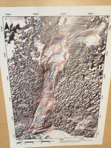
The usual fieldtrip for bachelor students in risk took place in Les Diablerets . About twenty students took part to this course on 1-3 May 2019. The Pont Bourquin landslide was used for a mapping exercise and as a starting point for a risk analysis.

Example of a landslide map produced by students during 1 day mapping

