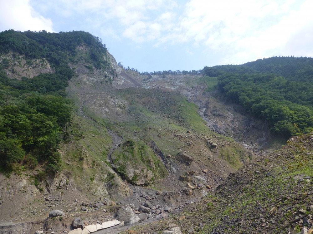
Michel Jaboyedoff had a sabbatical stay at the Disaster Prevention Research Institute (DPRI) of Kyoto University at Uji Campus from July 18 March to August 16, 2015. This was kindly financed by University of Kyoto which supported a project by Prof Masahiro Chigira from the DPRI. The stay was dedicated to estimate the failure surface geometry of landslides based the use of airborne Lidar DEM before and after the Typhon Talas (see Chigira et al., 2013) using the SLBL. This was the opportunity to visit the impressive number of deep seated landslides that were triggered by Typhoon Talas. The LiDAR DEM permitted Chigira et al. (2013) to demonstrate the existence of pre-existing deformations affecting the slopes before Talas.
Akatani-E landslide which occurred during the Typhoon Tala (2-5 Sept. 2011) in Kii Peninsula (Japan) (Chigira et al., 2013).
In addition, M. Jaboyedoff was able to participate with students to a field visit led by Prof M. Chigira and Prof G. Wang the Tokushima landslide observatory. This observatory is dedicates to the understanding of various aspects of slope deformation such has groundwater effects.
This stay was very interesting, and M. Jaboyedoff is particularly grateful to Prof Chigira, Prof Y. Matsushi Dr. C.-Y Tsou and all his team for the support.

