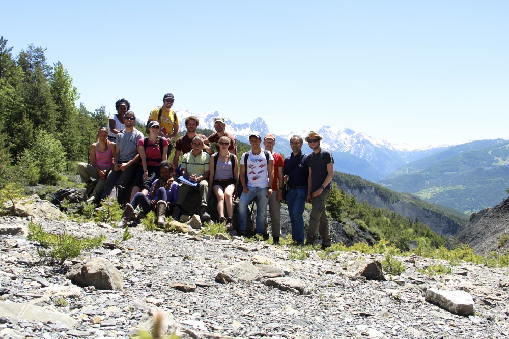
 Students from Geosciences (UNIL) and Geology (UNIL-UNIGE) master programs attended the Slope Instability Field Camp from June 1st to June 7th 2014.
On the menu, a close examination of the La Vallette landslide, a big slope instability in the heights of the Ubaye Valley, above the municipality of Barcelonnette, and a visit to the famous Riou Bourdoux, a torrent on which the torrential mitigation techniques were pioneered in the XIXth century.
Field mapping of cracks, bulges, water presence, as well as LiDAR acquisitions were carried out on the La Vallette site. The goal was to assess the general behaviour and volume of the moving mass, its geological and structural context, and to elaborate its hazard potential for the human settlements. Field data was combined with existing data (aerial photographs, existing DEMs, published litterature) and with numerical methods (Coltop 3D, SLBL, GIS tools) each evening.
A big thank you to our hosts at the Séolane center for the wonderful stay and to our guides on the field, Georges Guiter (ONF-RTM) and Alexandre Mathieu (Univ. Strasbourg).
