
This new project, started in June 2019, is a pilot study to develop techniques in order to (1) harmonize the 1:25000 geological maps and (2) to improve the Quaternary mapping of the region of “canton de Vaud” in Switzerland. This region includes 3 geographic zones: the Jura mountain, the Pre- Alpes and the molasse Plateau. During the XX century, geological maps have been produced by different authors over decades. Then, limits or stratigraphical attributions may differ from one map to another. In addition, new types of data are now available, in particular a high resolution LiDAR digital elevation model over the entire canton, and geophysical or boreholes data. Three pilot zones have been selected (one by geographic zone) to test new approaches to improve the mapping of geological formations and Quaternary deposits. Field surveys are also planned for the selected zones.
Valérie Baumann, a new post doctoral researcher at UNIL, has an extensive experience in geological and Quaternary mapping. She will be in charge of the project, with the contributions of Michel Jaboyedoff, Jean-Luc Epard and Marc-Henri Derron from the Institute of Earth Sciences.
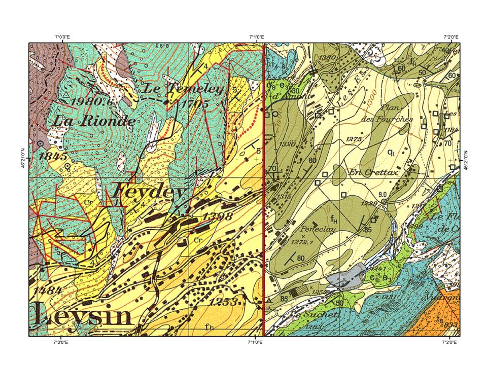
Detail of the union (red line) between the geological maps Monthey (1960; left side) and Diablerets (1990; right side) at scale 1:25000. Note the mismatch between the same geological units.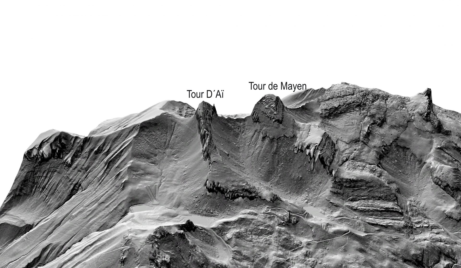
3D shaded relief from the summits and three old glacial cirques located in the Préalpes obtained from high resolution LiDAR data

View of the old glacial cirque located between the Tour d´Aï and Tour de Mayen