This was a project carried out at the Group Risk of the University of Lausanne, in close collaboration with experts from the University of Barcelona, the Geological Survey of Norway, the University of Alicante and the UPC. Please find below the summary of the project:
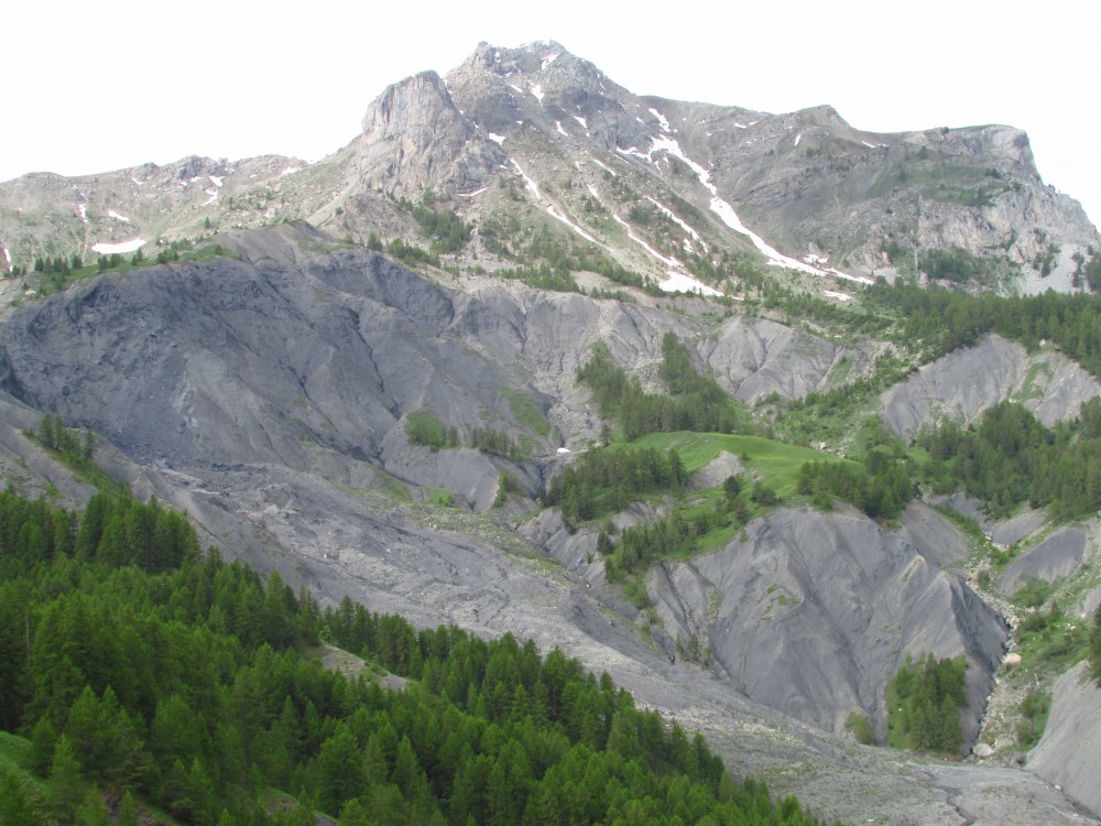
Although the use of new remote sensing techniques, either terrestrial, aerial or satellite-based, is shedding light into how landslides behave and evolve, still many questions need to be solved regarding the treatment of these datasets, more specifically LiDAR point clouds and its application to a better modelling and forecasting of landslides in 4D (X,Y,Z and Time).
Our research was focused on the development of new algorithms for the modeling and quantification of the geometrical variation of different failure mechanisms (e.g. toppling, falls, slides, etc) along time. The project was conceived through a threefold strategy: in a first step, we simulated mass movements at analog scale using a sandbox, in order to acquire high resolution 3D temporal data. Then, we exploited these datasets for the development of new algorithms aiming to better modelling and quantify the landslide geometrical variation along the different phases of the rupture. In the third and final step, we applied these algorithms to the study of more complex landslides in well instrumented pilot study areas, aiming to a better modelling and understanding of the 3D evolution suffered by complex mass movements during the pre-failure and failure stages.
This project was conceived as the logical continuation of the one year FNS project 138015 “Understanding landslide precursory deformation from superficial 3D data”. The outputs of the project will improve future implementation of 3D remote sensing techniques in early warning systems, a great challenge in current risk management strategies.
Funded by: Swiss National Science Foundation (SNSF).
More detailed information can be found at the project’s website.