This project was carried out with the collaboration of the Group Risk from the University of Lausanne and the Argentinean Geological Survey (SEGEMAR). The main goals of this project are:
- Identification of deep-seated gravitational slope deformation and structures displacements by advanced differential SAR Interferometry (PS and SBAS approaches).
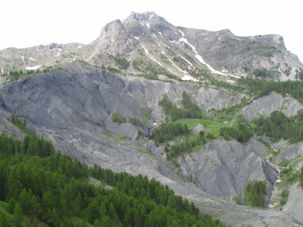
- Rockfall hazard mapping: detection of source areas by quantitative DEM analysis (Loye et al 2009) and estimation of propagation zones by 3D numerical modeling.
- Debris Flow susceptibility mapping (source areas and propagation zones) by an energy-controlled numerical model (Horton et al., 2008).
- Snow avalanche susceptibility mapping (source areas and propagation zones) with Flow-R.
- Field investigations along the road N7: detailed studies on identified hotspots by the regional mapping and the knowledge of the Geological Survey of Argentina.
Main findings of the project can be found here:
Baumann, V., Jaboyedoff, M, Oppikoffer, T, y Altobelli S. 2006. Potenciales caídas de rocas determinadas con el método Conefall para el área de Puente del Inca., S. IGRM-SEGEMAR y IGAR-FGSE. En Estudio Geocientífico aplicado al ordenamiento territorial en Puente del Inca, provincia de Mendoza, Argentina. SEGEMAR (Servicio Geológico y Minero Argentino) y MAP (Multinacional Andean Project), Anexo I, Buenos Aires.
Baumann, V., Wick E., Derron M.H., Horton P., Jaboyedoff M., Rosas M. y Marengo H., 2011. Cartografía de la susceptibilidad a las avalanchas de nieve a lo largo de la ruta nacional 7 En: Actas del XVIII Congreso Geológico Argentino (Eds. Leanza, Franchini, Impiccini, Pettinari, Sigismondi, Pons y Tunik), p. 345. Neuquén, Argentina.
Baumann, V., Wick, E., Horton P. y M. Jaboyedoff, 2011. Debris flow susceptibility mapping at a regional scale along the National Road N7, Argentina. Pan-Am CGS Geotechnical Conference 2011, Toronto.
Wick, E., Baumann, V. and Jaboyedoff, M., 2010. Brief Communication: Report on the impact of the 27 February 2010 earthquake (Chile, Mw 8.8) on rockfalls at far distance, Natural Hazards and Earth System Sciences, 10: 1989-1993.
Wick, E., Baumann, V., Favre-Bulle, G.,Jaboyedoff, M., Loye, A., Marengo, H., and Rosas, M. 2010. Flujos de detritos recientes en la Cordillera Frontal de Mendoza: un ejemplo de riesgo natural en la Ruta 7. Revista de la Asociación Geológica Argentina.
Baumann, V., Favre-Bulle, G., Oppikofer, T. , Altobelli, S., Rosas, M. , Jaboyedoff, M. , Hermanns, R. , Coppolecchia, M. , y Fauqué, L., 2008. Estudio de las caídas de rocas sobre la ruta Nacional N°7, en las áreas de Polvaredas y Puente del inca (Mendoza) usando un modelo digital del terreno. In: Zappettini et al. (eds) XVII Congreso Geológico Argentino – Acta, Tomo I, p. 259-260.
The project is funded by the Group Risk from the CRET Institute (University of Lausanne).