Français
English
Géoblog
The popular science blog of the Faculty of Geosciences and the Environment
Research in action
Insight
The faculty’s “Insights” programme brings together researchers from a variety of disciplines, ranging from the humanities to the exact sciences.
Winners and projects
Theses defended
The dynamism of research is reflected in the numerous theses prepared and defended in the Faculty. Here you will find summaries of doctoral theses in geography, earth sciences, environmental sciences and tourism studies. Some of these works are available in full in Open Access on SERVAL.
Press review
Files
Events
Urban farming
« Rapid urban growth in the developing world is placing increasing strain on urban food supply systems. Agriculture, which includes horticulture, livestock raising, fisheries, forestry, and the production of milk and fodder, is expanding within and around cities. Urban agriculture provides fresh food, generates employment, recycles urban waste, creates green belts, and strengthens cities’ resilience to climate change. » — Food and Agriculture Organization of the United Nations
Regional planning
Anthropocene
Weather report
Refresh your knowledge of meteorology with the column by Jean-Michel Fallot, geographer, senior lecturer at the Institute of Geography and Sustainability, and climate specialist. Mr Fallot regularly provides a summary of the weather in Switzerland, climate and seasonal trends, and the history of meteorology in our country, based on data from MétéoSuisse.
Far north
Artificial intelligence
Oceans
Focus on best practices
How are field and research practices evolving in geosciences and environmental sciences? Discover the testimonials and reflections of our research community in this report.
Research at work
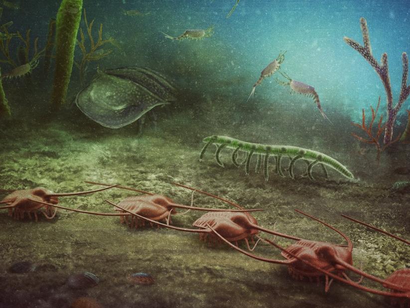
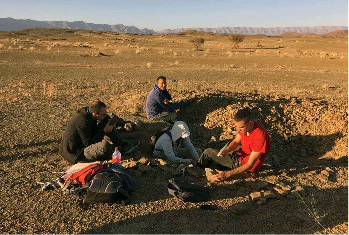
New fossil site of worldwide importance uncovered in southern France
9 February 2024
Algorithms made more “robust” by 13 Swiss and U.S. scientists to anticipate the future of the climate using AI
7 February 2024
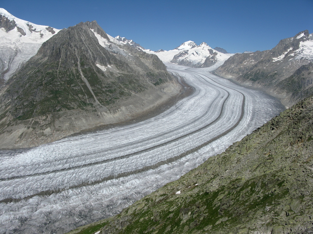
Alpine glaciers will lose at least a third of their volume by 2050, whatever happens
19 January 2024
How can we protect biodiversity? By improving monitoring of global genetic diversity
15 January 2024
They decode colonization methods through the communication of E. coli bacteria
9 January 2024
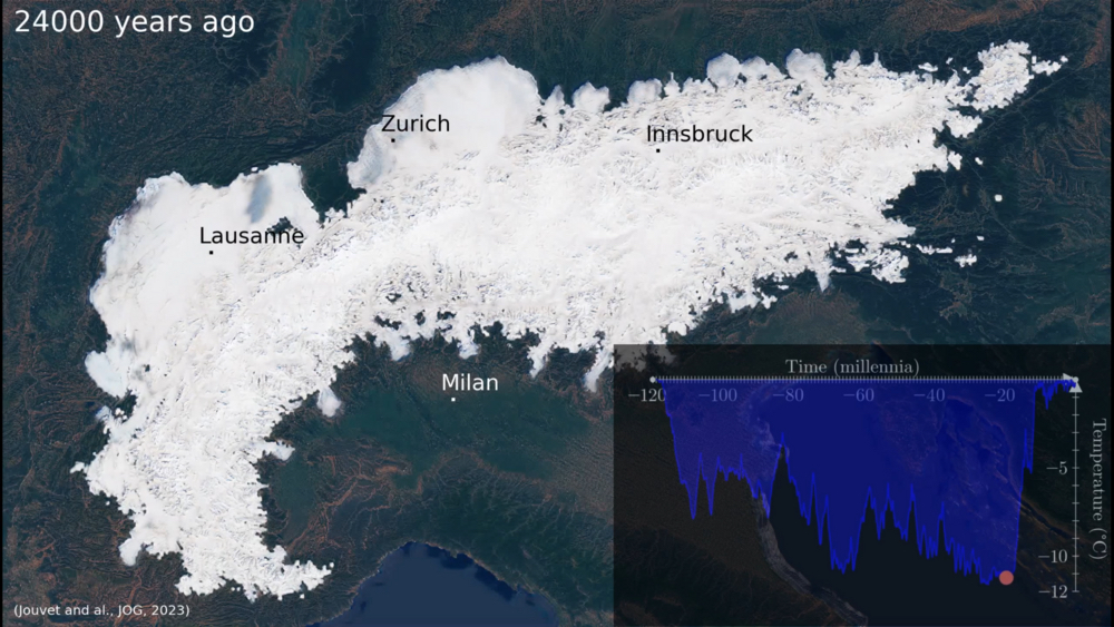
A simulation to visualize the evolution of Alpine ice cover over the last 120,000 years
17 October 2023
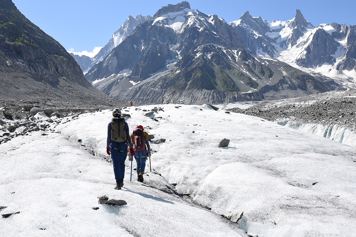
Using rock surface luminescence dating to understand the dynamics of a glacier: a new approach initiated this summer at the Mer de Glace
28 September 2023
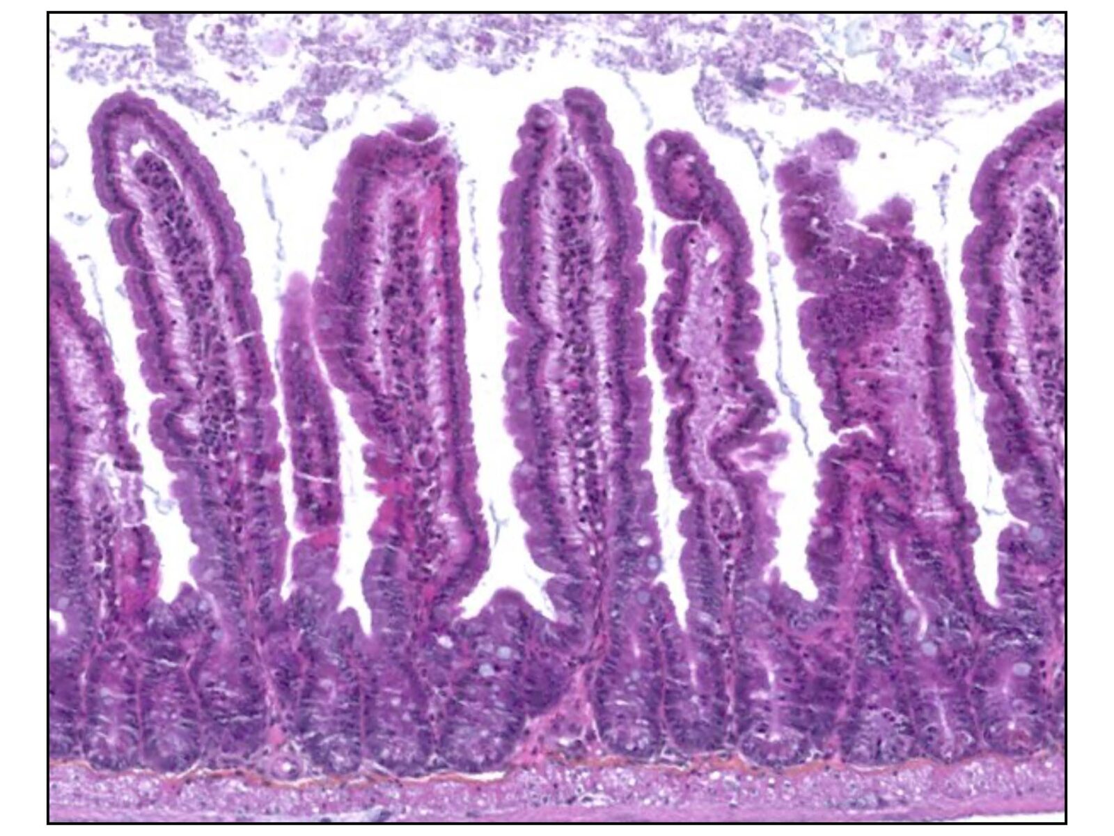
Towards a more inclusive and ethical paleontology
19 September 2023
Fossil stories: testimony to a field in transition
19 September 2023
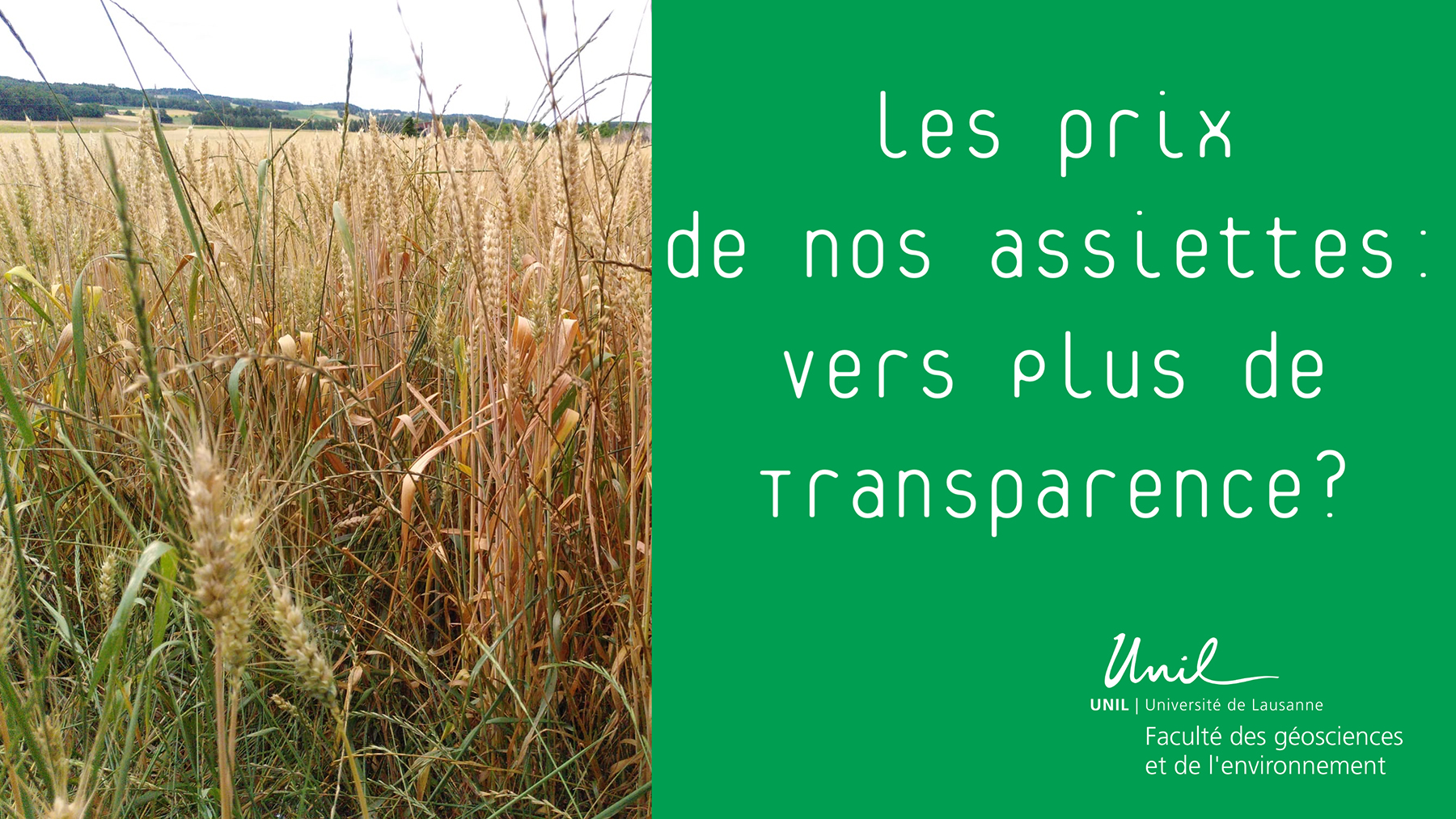
From the farm to our plates: what are the margins in the supply chain?
7 September 2023
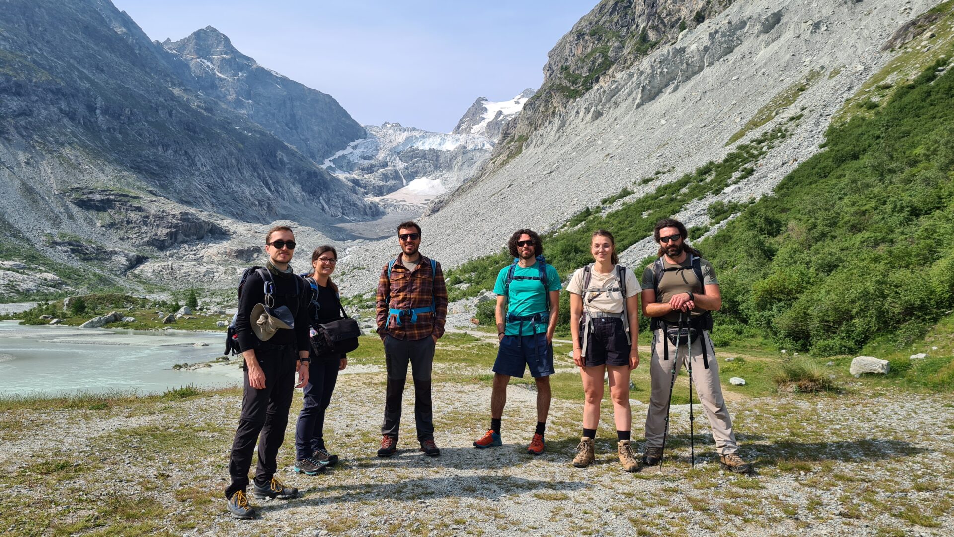
Studying the impact of glacier retreat on biodiversity
31 August 2023
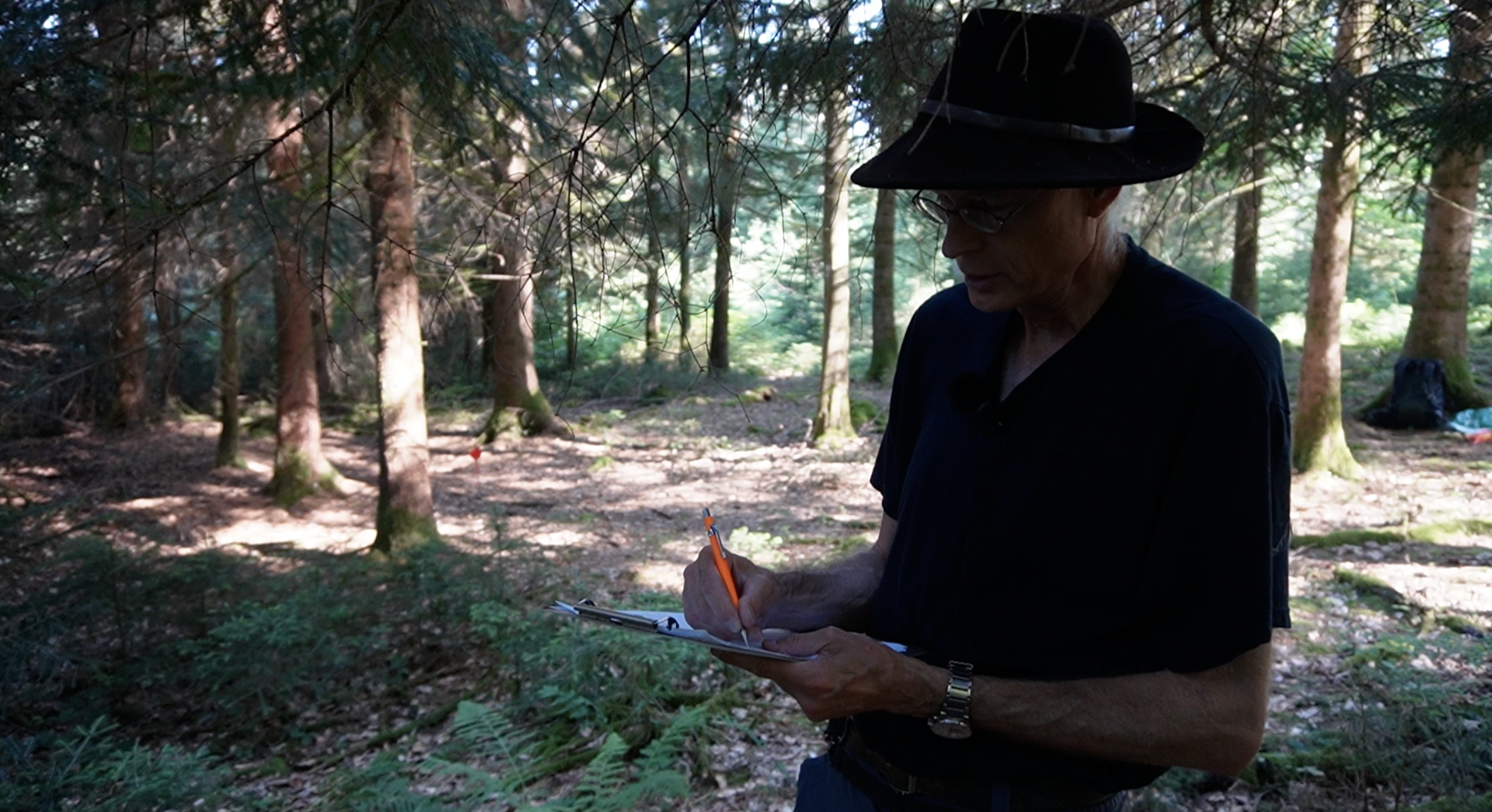
Jorat Natural Park : first steps towards long-term monitoring
15 August 2023
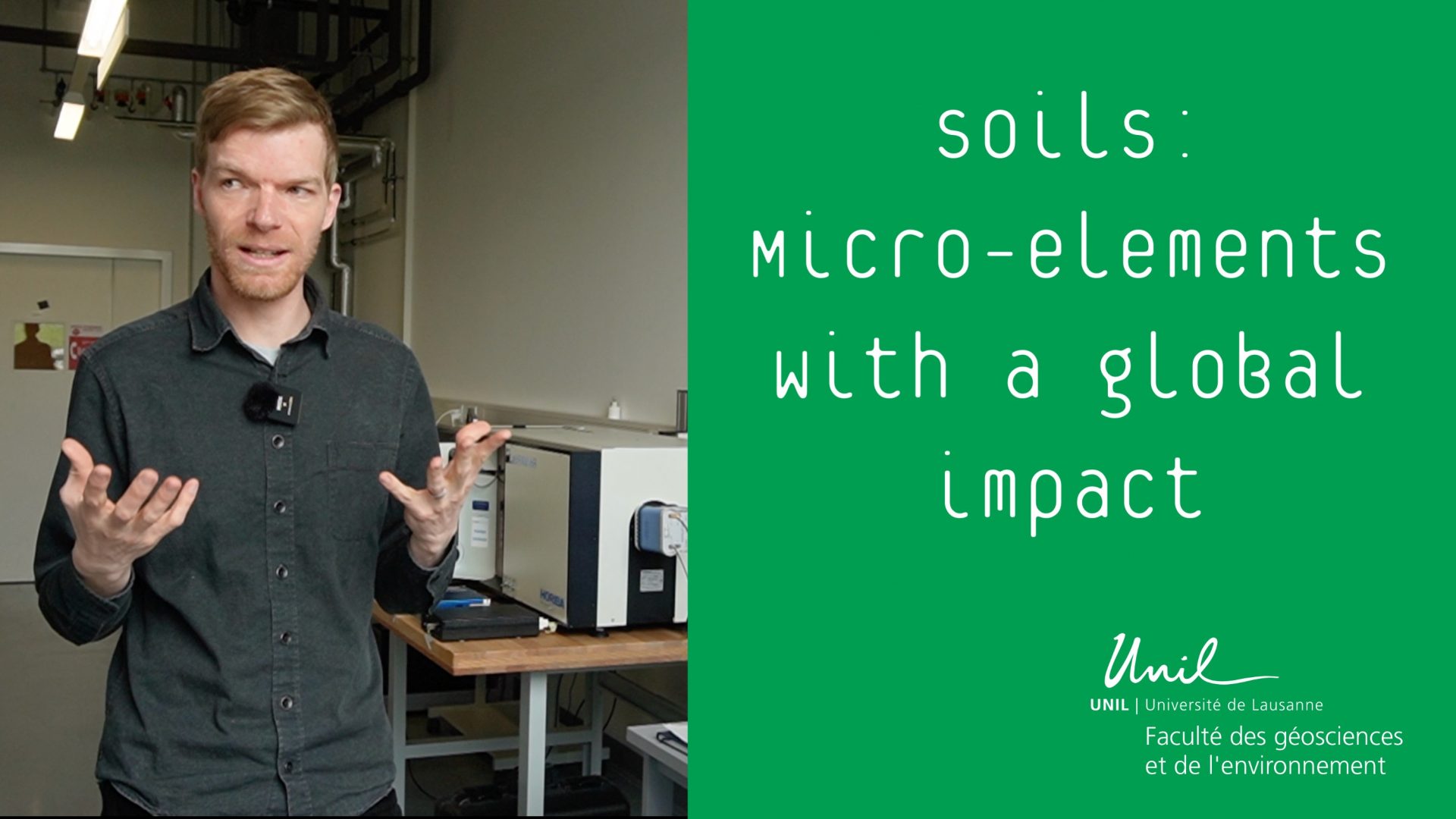
Uncovering the secrets underground: how micro-scale processes in soils have global impact
7 July 2023
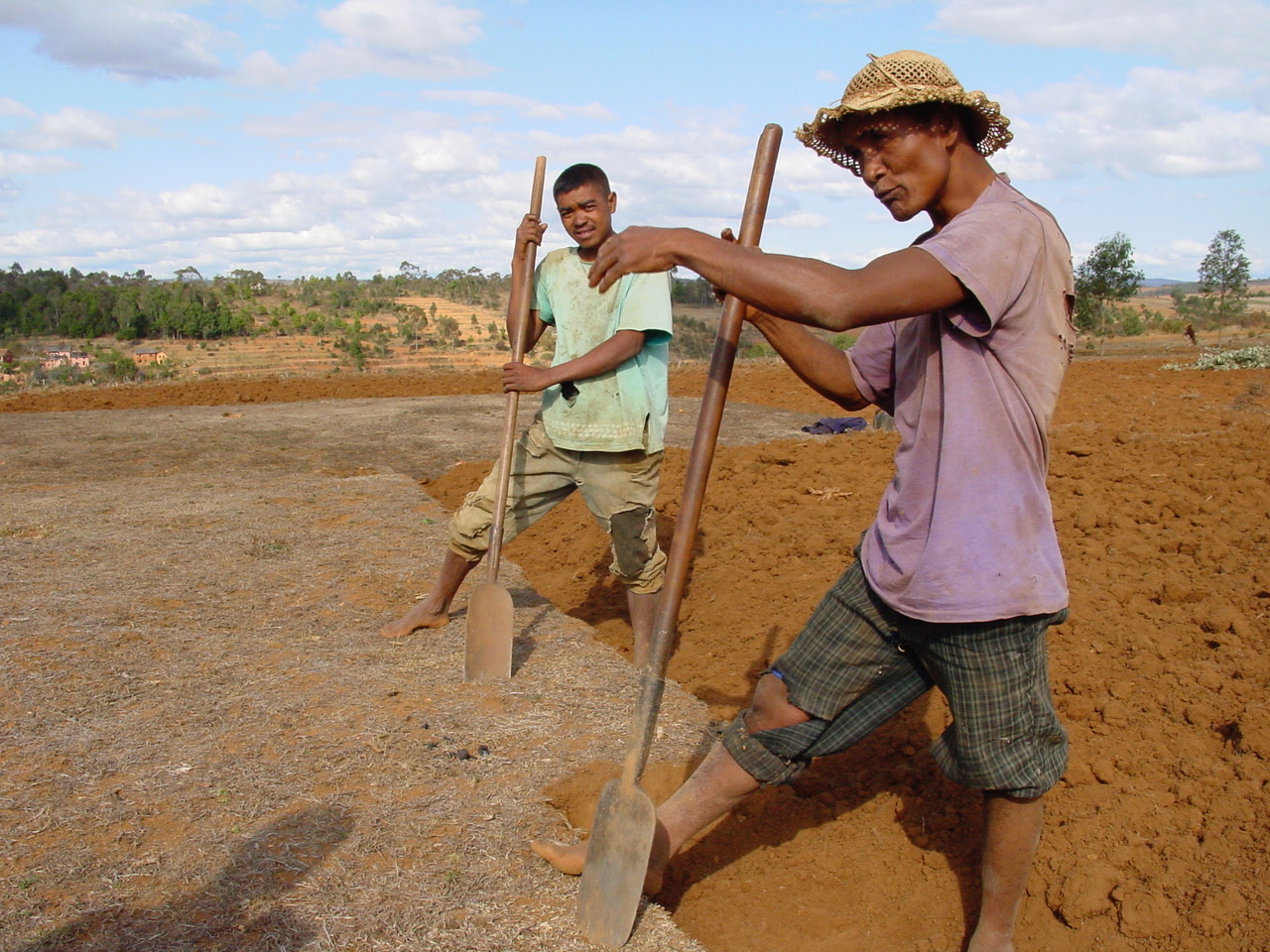
Investigation in Madagascar – ethnographic fieldwork in a rural landscape
26 June 2023
The University of Lausanne and the Natural History Museum of Geneva receive samples of the famous asteroid Ryugu for their scientific research
14 June 2023
←
Previous Page
1
2
3
4
…
6
Next Page
→