Categories
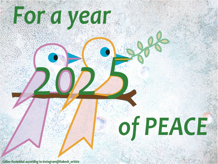
For a year 2025 of peace !


Recently Philip Ball collaborator of Quanta Magazine in an article entitled “The New Math of How Large-Scale Order Emerges“, discussed some research advances around the question of how emergence emerge in complex systems? He focuses on the work of Fernando Rosas and six other researchers entitled “Software in the natural world: A computational approach to emergence in complex multi-level systems”, which presents a mathematical framework based on computational mechanics to better understand the phenomenon of emergence.
According to the researchers, by organizing systems such as economic, urban or even biological systems into hierarchies of levels, it is possible to find in each of them properties that allow each level to operate independently of the others, just as software does in a computer, each software works independently the computation mechanism of the hardware circuits. This means that emergent phenomena are governed by macroscale rules that appear to be self-contained, regardless of what the components or entities of other hierarchies do.
In general, the approach of Rosas et al. (2024) characterizes the interdependence between micro and macro levels by combining principles of computational mechanics with fluid dynamics and dynamical systems theory, which are widely used in continuous systems. This contribution to bridging the gap between emergence and complex systems is guided by previous research by Barnett & Seth (2023), which proposes a system in which a dynamically macro level is conditional on its own history and independent of the history of the micros process. Both studies turn around systems whose macro levels have a degree of causal ‘self-containment’ with respect to their micro processes, which could be understood as a kind of emergence.
To access the Quanta Magazine article, use this link:
https://www.quantamagazine.org/the-new-math-of-how-large-scale-order-emerges-20240610
For the Rosas et al. (2024) paper:
https://arxiv.org/abs/2402.09090v2
And for the paper by Barnett & Seth (2023):
https://arxiv.org/pdf/2106.06511
Made in Adobe Firefly AI, prompt: Jorge Salgado.
References:
Barnett, L. and Seth A. K. 2023. “Dynamical independence: discovering emergent macroscopic processes in complex dynamical systems,” Physical Review E, vol. 108, no. 1, p. 014304.
Rosas, F. E., Geiger, B. C., Luppi, A. I., Seth, A. K., Polani, D., Gastpar, M., & Mediano, P. A. M. (2024). Software in the natural world: A computational approach to hierarchical emergence. arXiv.
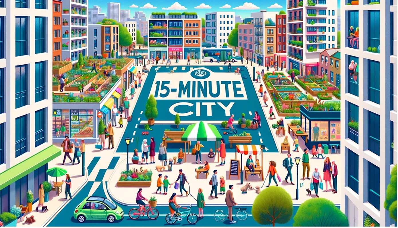
According to the University College of Estate Management (UCEM, 2024), the concept of the 15-minute city was revitalized in 2016 by researcher and professor Carlos Moreno and received considerable attention during the COVID-19 pandemic. Presently, urban planners globally are implementing this model, awakening an intense debate in favor and against it. This concept traces its origins to Ebenezer Howard’s work, ‘Garden Cities of Tomorrow,’ published in 1902, and is further developed through Clarence Perry’s notion of the Neighborhood Unit in the 1920s, which aimed to create self-sufficient neighborhoods.
The Driving Urban Transition (DUT) Partnership recently released a report titled “Mapping of 15-Minute City Practices”, providing an exhaustive overview of the 15-minute city framework, supplemented by case studies from 100 cities. This report focuses on enhancing urban life locally through improvements in mobility, urban planning, logistics, and governance. It underscores a significant adoption of the framework, particularly in Europe, and emphasizes the critical role of social inclusion and innovative strategies.
Full details and further insights are available in the complete publication:
https://dutpartnership.eu/news/new-publication-mapping-of-15-minute-city-practices
To check the research of Carlos Moreno, follow this link:
Made in OpenAI, prompt: Jorge Salgado.
References:
University College of Estate Management (UCEM, 2024). A guide to 15-minute cities: why are they so controversial? https://www.ucem.ac.uk/whats-happening/articles/15-minute-city/
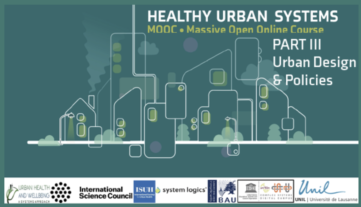
The MOOC – Healthy Urban Systems Part III is now available on Coursera:
https://www.coursera.org/learn/healthy-urban-health-systems-3
You will learn to:
Dedicated to all levels of disciplines linked to the city, health, the environment, social and human sciences, data sciences…
The MOOC is entirely in English, with possible subtitles in French and Chinese.
Materials: videos, glossary, quizzes, exercises, discussion forum
Duration: 4 weeks – 1 session per week to be taken at your convenience
Workload: 2 to 3 hours per week
Accreditation (possible and not compulsory): 2 ECTS for PART II, issued by the University of Lausanne via COURSERA (US$ 25)
General coordination:
University of Lausanne – UNIL-EPFL Foundation for Continuing Education
Prof. Céline Rozenblat, Jeff van de Poel

Last March, Nature Computational Science published an issue dedicated to digital twins. From the simulators used by NASA in the Apollo missions to today’s applications in urban planning, the concept of digital twins is more alive than ever.
Since that first application, digital twins have been nurtured by significant advances in computing power, data generation and the emergence of a wide range of methods and tools for building the ‘living models’. These developments have extended the possibilities of digital twins from industry and engineering to other fields such as social sciences, biomedicine, climate science and others, which bring their own challenges, requirements and discussions.
This issue of Nature Computational Science highlights the most recent developments in this flourishing field, bringing together expert point of views on the needs, gaps and opportunities for implementing digital twins in different subjects. In the context of urban planning, Michael Batty presents an article that begins with a discussion of the definition of digital twins and argues that the gap between real and digital is not the same for physical assets than for social and organizational systems. Batty claim, as well as the need to integrate humans in the loop design and use of digital twins, reminding as cities could be inherently unpredictable.
If you are interested in this issue, follow this link:
https://www.nature.com/collections/feicjiideh
Follow this link to read Michael Batty article:
https://www.nature.com/articles/s43588-024-00606-7
Source: Busakorn Pongparnit / Moment / Getty Images
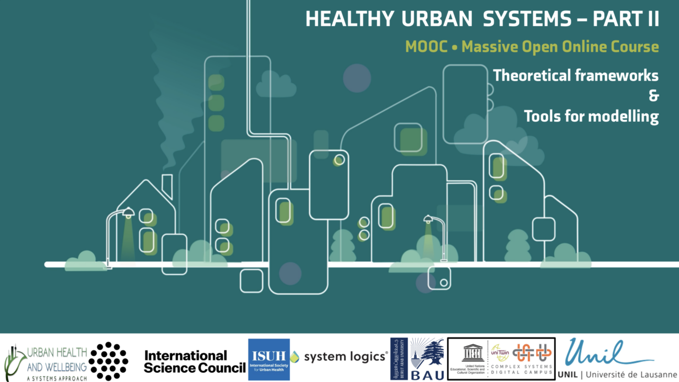
The MOOC – Healthy Urban Systems Part II
is now available on Coursera!
You will learn to:
Dedicated to all levels of disciplines linked to the city, health, the environment, social and human sciences, data sciences…
The MOOC is entirely in English, with possible subtitles in French and Chinese.
The part II is dedicated to Theories and models
Module 3: Theoretical frameworks
Module 4 : Tools for modeling
Materials: videos, glossary, quizzes, exercises, discussion forum
Duration: 4 weeks – 1 session per week to be taken at your convenience
Workload: 2 to 3 hours per week
Accreditation (possible and not compulsory): 2 ECTS for PART II, issued by the University of Lausanne via COURSERA (US$ 25)
General coordination:
University of Lausanne – UNIL-EPFL Foundation for Continuing Education
Prof. Céline Rozenblat, Jeff van de Poel
Don’t miss this extraordinary opportunity, for more information click on the link below:

We wish you an extraordinary year, full of readings, research, publications and achievements in all dimensions.
Carlo Ratti, director of MIT’s Senseable City Lab, and Robert Muggah, co-founder of the Igarapé Institute, recently argued in a Mongabay op-ed how digital twins could support policies to protect and conserve the Amazon while improving people’s well-being by encouraging them to expand green bio-economic activities.
They pointed out that digital maps can help understand the forest ecosystem in more detail than ever before. Using LIDAR and AI technologies, it may soon be possible not only to map and digitalize each individual tree from crown to root, but also to understand and scan how different species are connected to the surrounding topography and how each part of the ecosystem relates to the land around it – i.e. a complex approach-.
Digital twins can therefore help to clarify the relationships between rainforest ecosystems and the cities embedded within them. This includes complex and informal neighborhoods that remain unmapped. Based on this new amount of data and knowledge about the Amazon rainforest, it could be possible to help protect the ecosystem from environmental crime and unsustainable development by promoting and encouraging green alternatives.
Follow this link to read the full article:
https://news.mongabay.com/2023/11/can-digital-twins-help-save-the-amazon-commentary/
If you are interested in the activities of MIT’s Senseable City Lab, follow this link:
And for the Igarapé Institute:
Image source: MIT Senseable City Lab.
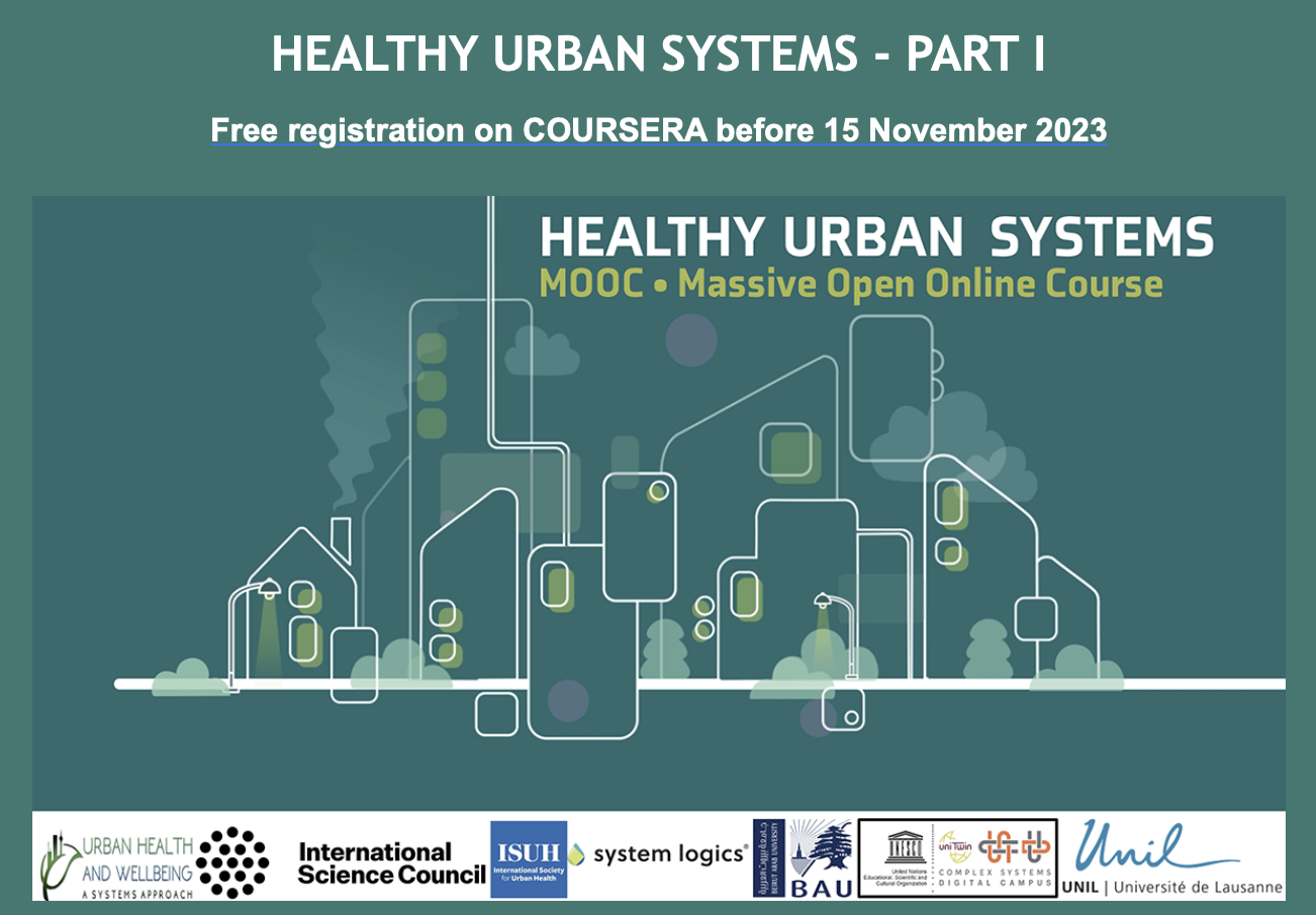
We invite you to the Massive Open Online Course (MOOC) Healthy Urban Systems, designed specifically for professionals and enthusiasts in the field of urban health. This first part of the MOOC series (consisting of 3 MOOCs) will take you on a comprehensive 4-week journey, navigating through multidisciplinary frameworks and analytical observations critical to understanding the complexities of urban health.
You will learn to:
The MOOC is entirely in English, with possible subtitles in French and Chinese.
Materials: videos, glossary, quizzes, exercises, discussion forum.
Duration: 4 weeks – 1 session per week to be taken at your convenience.
Workload: 2 to 3 hours per week.
Accreditation (possible and not compulsory): 2 ECTS for PART I, issued by the University of Lausanne.
General coordination:
University of Lausanne – UNIL-EPFL Foundation for Continuing Education
Prof. Céline Rozenblat, Jeff van de Poel
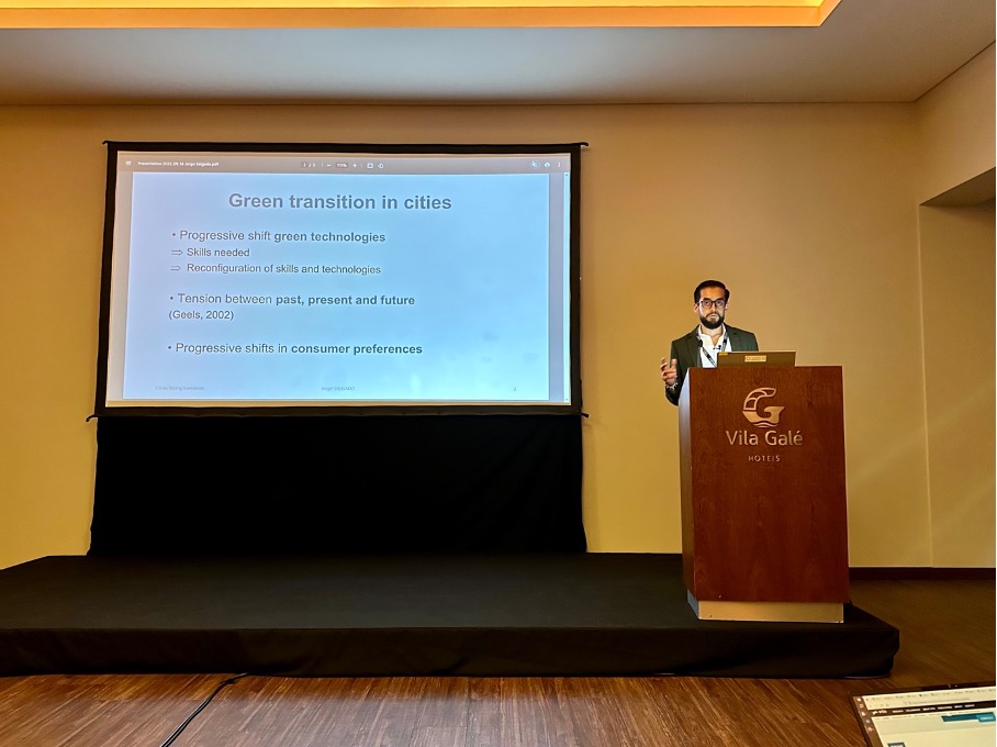
At the European Colloquium of Theoretical and Quantitative Geography 2023 (ECTQG, 2023), Jorge Salgado – researcher at Citadyne – presented the progress of his research entitled: “Cities in the face of green technologies, skills and preferences transitions: a multilevel complex approach”. His agent-based modelling approach allows the simulation of changes in firms technologies and consumer preferences as a result of the green transition. The research has been well received because it simultaneously integrates key elements of the economic system, enabling bottom-up interactions to understand the reconfiguration of urban systems around the world.
If you are interested in this research you can contact Jorge Salgado:
jorge.salgado@unil.ch
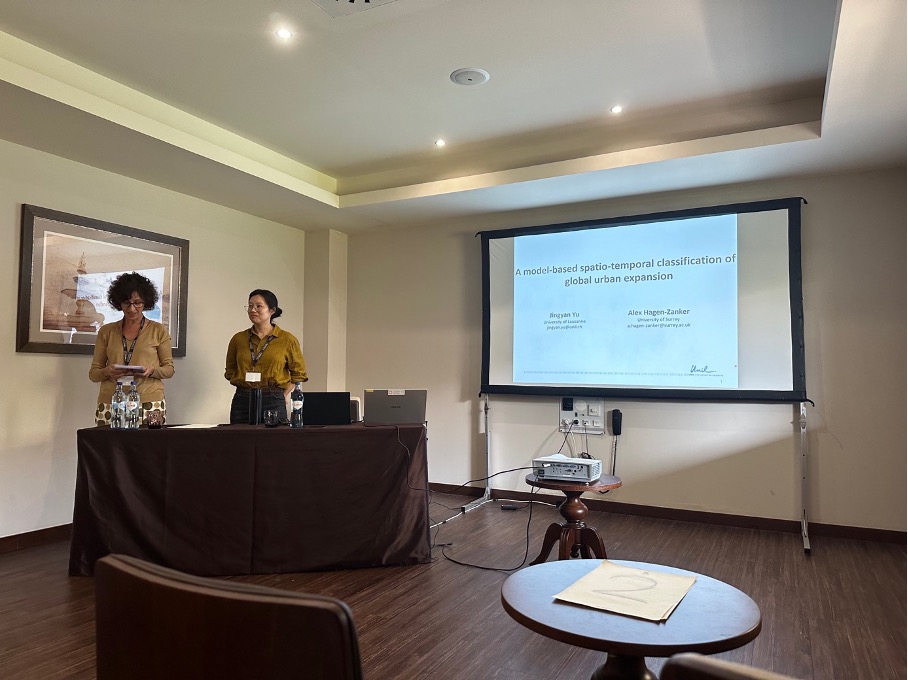
Dr Jingyan Yu, – postdoctoral researcher and member of Citadyne – presented the first results of her research “A model-based spatio-temporal classification of global urban” at the European Colloquium of Theoretical and Quantitative Geography 2023 (ECTQG, 2023). She has developed static and dynamic measures to simulate urban expansion in Functional Urban Areas (FUA) around the world. She has found a global trend of physical spatial dispersion, producing discontinuous, dispersed built-up areas.
If you are interested in this research you can contact Dr Yu:
jingyan.yu@unil.ch

Charlie Wood of Quantamagazine published in 2022 an article that highlighted the 2017 research work of Roger Guimerà and Marta Sales-Pardo, who discovered a cause of cell division – the process that drives the growth of life – using an unpublished and novel tool, a digital assistant they called a “machine scientist”. The method quickly gained acceptance, and Sales-Pardo & Guimerà are among a handful of researchers developing the latest generation of tools, known as symbolic regression. A description of the key elements of the tool can be found in Guimera et al. (2020).
In general, symbolic regression is a type of machine learning that can identify mathematical relationships between variables in data sets using Bayesian probability theory. It has been used to discover new equations that describe physical phenomena, such as the movement of fluids or the behavior of materials under stress. Researchers supporting the expansion of these methods say we’re on the cusp of “GoPro physics”, where a camera can point at an event and an algorithm can identify the underlying physical equation.
According to Wood’s article, machine scientists are being used in fields such as biology, chemistry and materials science to make new discoveries and accelerate scientific progress. For example, a team led by scientists at London-based artificial intelligence company DeepMind has developed a machine learning model that suggests the properties of a molecule by predicting the distribution of electrons within it.
If you are interested in the state of the art related to these approaches Liu et al. (2023) recently published the article “Data, measurement and empirical methods in the science of science”, which includes the Guimerà and Sales-Pardo experience. The publication is available in:
https://www.nature.com/articles/s41562-023-01562-4
If you are interested in Guimerà et al. (2022) “machine scientist” you can follow this link:
https://www.science.org/doi/full/10.1126/sciadv.aav6971
Image source: https://www.quantamagazine.org/

Measuring the Value of Location Data: A Step-by-Step Guide
The UK’s Geospatial Commission – part of the Department for Science, Innovation and Technology – has recently published a framework to advise the UK government on the most productive and economically valuable uses of geospatial data. This effort is a result of commitments made in the UK’s Geospatial Strategy, published in 2020 and reiterated in the 2022/23 Annual Plan of the Commission.
To address this major challenge and given the growing importance of location data in sectors as diverse as urban planning, transport and public services. The Geospatial Commission presents a step-by-step approach to effectively measure the value of location data. It emphasizes the importance of considering both economic and non-economic factors in the valuation process.
The framework includes aspects such as data quality, usability, accessibility and societal impact to provide a holistic view of the value of location data. According to the Commission, “assessing the value of location data is difficult because: (i) value is often only realized when location data is combined with other data sets, (ii) value varies depending on the intended use, and (iii) value can be difficult to predict”.
In response to these challenges, the methodology for measuring the value of location data covers key components such as data collection, data management, data analysis and data use. It also emphasizes the integration of location data with other datasets and the use of advanced technologies, such as artificial intelligence and machine learning, to unlock its full potential.
The framework guide, a summary of its steps, its application and results can be found at the following link:
Image: UK Geospatial Commission

Urban AI’s Thing Tank is a platform that promotes the use of artificial intelligence technologies to make cities smarter, based on six principles for urbanized technologies (i.e. technologies that promote urbanity and “cityness”): situated, open, decentralized, frictionless, meaningful and ecological. The think tank is based in Paris and was founded in 2021 by Hubert Beroche, who explored 12 cities and met more than 130 AI researchers to understand how AI is transforming and will transform cities.
The core aspects of the think tank have been presented in the URBAN AI report, co-authored by 20 contributors who answer the same question: how will Urban AI transform our cities? According to Beroche, the aim was to create and develop the concept of “Urban AI” by discussing the different aspects of this technology and reflecting on its implications. The report can be downloaded from the following link:
https://urbanai.fr/our-works/urban-ai-report/
To date, the think tank has experienced significant growth, supporting more than 150 members. It has also produced several reports (e.g. The Future of Urban AI: Global Dialogues on Urban Artificial Intelligence, Geopolitics of Smart Cities: Expression of Soft Power and New Order, What goes into urban AI?). To learn more about Urban AI’s Thing Tank, please visit their website at:

Caldarelli et al. (2023) published this month in Nature Computational Science: “The role of complexity for digital twins of cities”. They argue that complexity science has the potential to integrate and support digital twins of cities. The huge amount of data produced by digital twins requires a theoretical and methodological background that can cope with the multiple and simultaneous interactions that occur in cities.
According to the authors, complexity could address these issues by combining data-based and hypothesis-based approaches. They also argue that twin cities need to face ethical norms and quality standards, for which “the concept of a digital twin needs to be extended to the social and environmental domain in a value-sensitive way, respecting privacy and human rights”.
To access the publication, please follow this link:

Smart Metaverse City – Digital twins cities
According to Charitonidou (2022), digital twins are virtual replicas of cities that are used to simulate environments and develop scenarios to address policy issues related to urban planning (e.g., sustainability, climate change, transport, etc.). Recently, Xu et al. (2023) published the chapter “Toward a Smart Metaverse City: Immersive Realism and 3D Visualization of Digital Twin Cities” in “Advances in Scalable and Intelligent Geospatial Analytics” (Durbha et al., 2023). The publication presents a conceptual prototype that combines the unique advantage of metaverse technology with the two-way connectivity of a digital twin city application.
This combination offers the possibility to create a virtual environment for immersive geovisualization that provides the opportunity to understand the complex urban system through science-based and data-driven approaches. The proposal and its real-world applications are discussed based on a twin city developed at Oak Ridge National Laboratory to facilitate participatory, smart and sustainable campus management.
More about this publication could be find in the following link:
If you are interested in the Oak Ridge National Laboratory initiatives, you could follow this link:
Image:World Economic Forum
References:
Charitonidou M. (2022). Urban scale digital twins in data-driven society: Challenging digital universalism in urban planning decision-making. International Journal of Architectural Computing. 2022;20(2):238-253. doi:10.1177/14780771211070005
Durbha, S.S., Sanyal, J., Yang, L., S Chaudhari, S., Bhangale, U., Bharambe, U., & Kurte, K. (Eds.). (2023). Advances in Scalable and Intelligent Geospatial Analytics: Challenges and Applications (1st ed.). CRC Press. https://doi.org/10.1201/9781003270928
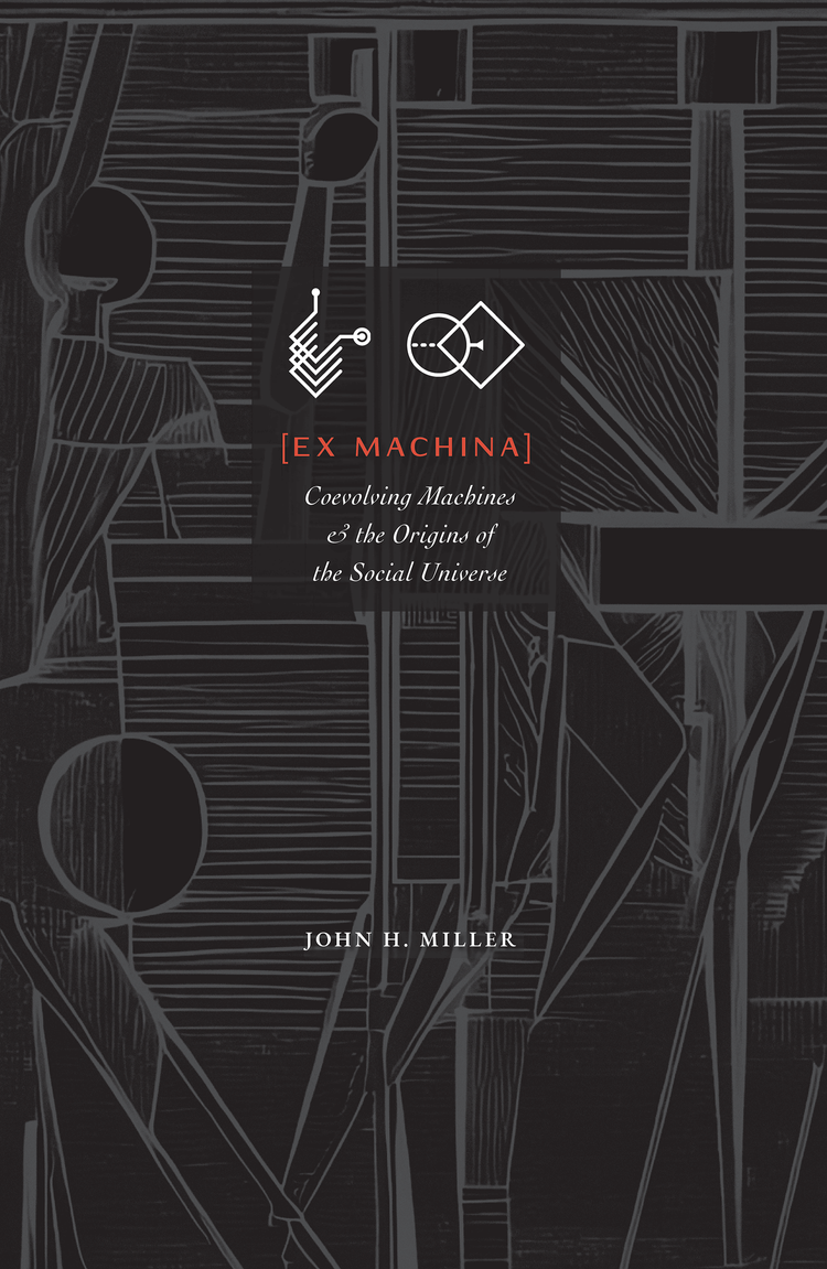
Ex Machina: Coevolving Machines & the Origins of the Social Universe
John H. Miller recently published “Ex Machina: Coevolving Machines & the Origins of the Social Universe,” in which he combines ideas from the study of games, the foundations of computation, and Darwin’s theory of evolution to introduce a methodology for studying systems of adaptive, interacting, choice-making agents, and uses this approach to identify conditions sufficient for the emergence of social behavior. In his words, he explores how evolving automata can go from asocial to social behavior and finds that systems of simple adaptive agents can be rapidly transformed into a rich social world.
John H. Miller is an economist from the University of Colorado. He received his Ph.D. in economics from the University of Michigan in 1988, where he worked with Ted Bergstrom and Hal Varian. He joined the Santa Fe Institute as its first postdoctoral fellow. He has been associated with the Institute ever since. He joined Carnegie Mellon University as an assistant professor in the Department of Social and Decision Sciences, later becoming a professor in 2000.
You can find out more about this book by visiting the following website:
https://www.sfipress.org/books/ex-machina

Image: SFI Press

ChatGTP was launched by OpenAI last November. Since then, it has been widely recognized as a game-changing tool for research and everyday life. In this article by Dymaptic, 6 Ways to Use ChatGPT in Your Everyday GIS Work, you can find out how the most famous chatbot could be integrated into your daily use of GIS. Among the most relevant, ChatGPT could help you decide which tool to use. It is also capable of comparing GIS applications, writing basic code, and explaining what GIS is to a non-specialist.
https://blog.dymaptic.com/6-ways-to-use-chatgpt-in-your-everyday-gis-work


Dr. Tyler Morgan-Wall. It was recently used by Terence Fosstodon to illustrate the population density of the world’s countries in a clear, accurate and stunning set of maps.
You can read more about the tool here, or visualize Terence Fosstodon’s 3D maps on his twitter @researchremora.