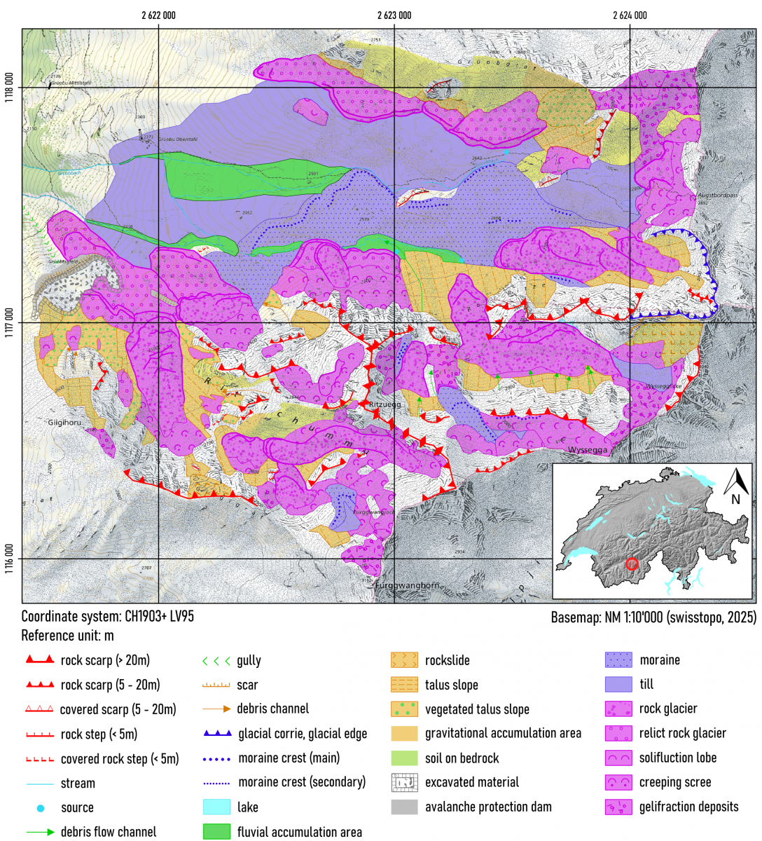
UNIL geomorphological legend
The development of the UNIL geomorphological legend started in the late 1980’s, aiming to provide a simple but comprehensive and consistent symbology at the 1 : 10’000 scale. It is primarily a morphogenetic legend, with morphodynamic components (distinction between erosion and accumulation; distinction of activity levels in certain landforms). Its main characteristics can be summarised as follows:
- Colours represent geomorphological process domains (e.g. ochre for gravitational, purple for glacial, mauve for periglacial, green for fluvial, etc.).
- Landforms are represented by standard symbols drawn in the colour of the corresponding process domain.
- Erosion and accumulation surfaces are distinguished by the background colour. Erosional landforms have a transparent background, while accumulations have a light background in the colour of the corresponding process domain.
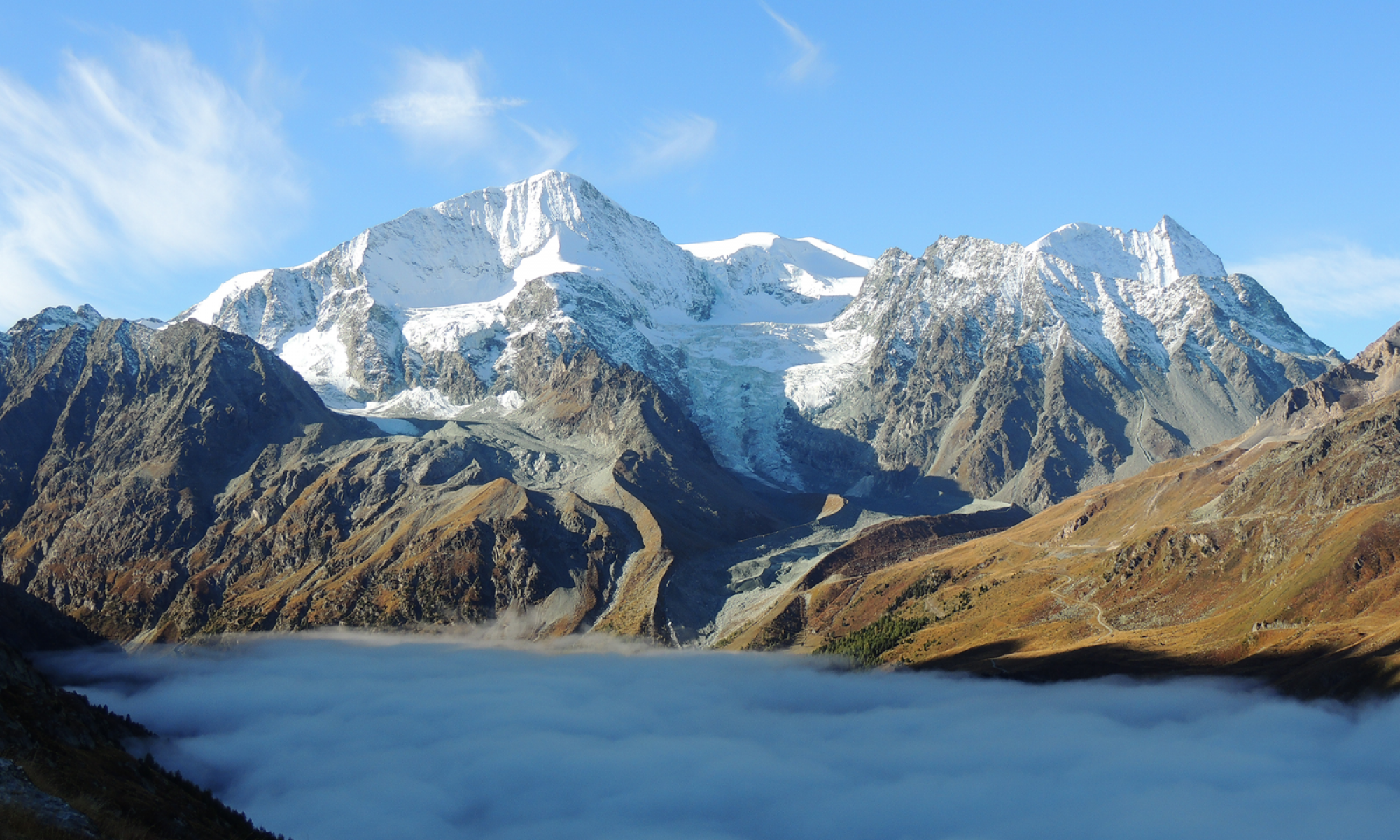
The spatial distribution of colours therefore gives an overview of dominating processes and their relative importance.
The legend was first developed for Adobe Illustrator in the 1990s. It was then adapted for ArcGIS users in 2013 (see below). Finally, a QGIS version is available since 2025 (see below).
Versions
ArcGIS
This version is designed for use in ArcGIS (see presentation poster on right). It is distributed as a blank Geodatabase file. Setup instructions in ArcGIS Pro are provided below.
The comprehensive Val d’Hérens geomorphological map was established with this version (Lambiel et al., 2016, Maillard et al., 2013). Recently, new symbols were added for aeolian and coastal processes and landforms.
QGIS
This version was developed in 2025. It is distributed as a blank GeoPackage containing point, polygon, and line layers.