Carlo Ratti, director of MIT’s Senseable City Lab, and Robert Muggah, co-founder of the Igarapé Institute, recently argued in a Mongabay op-ed how digital twins could support policies to protect and conserve the Amazon while improving people’s well-being by encouraging them to expand green bio-economic activities.
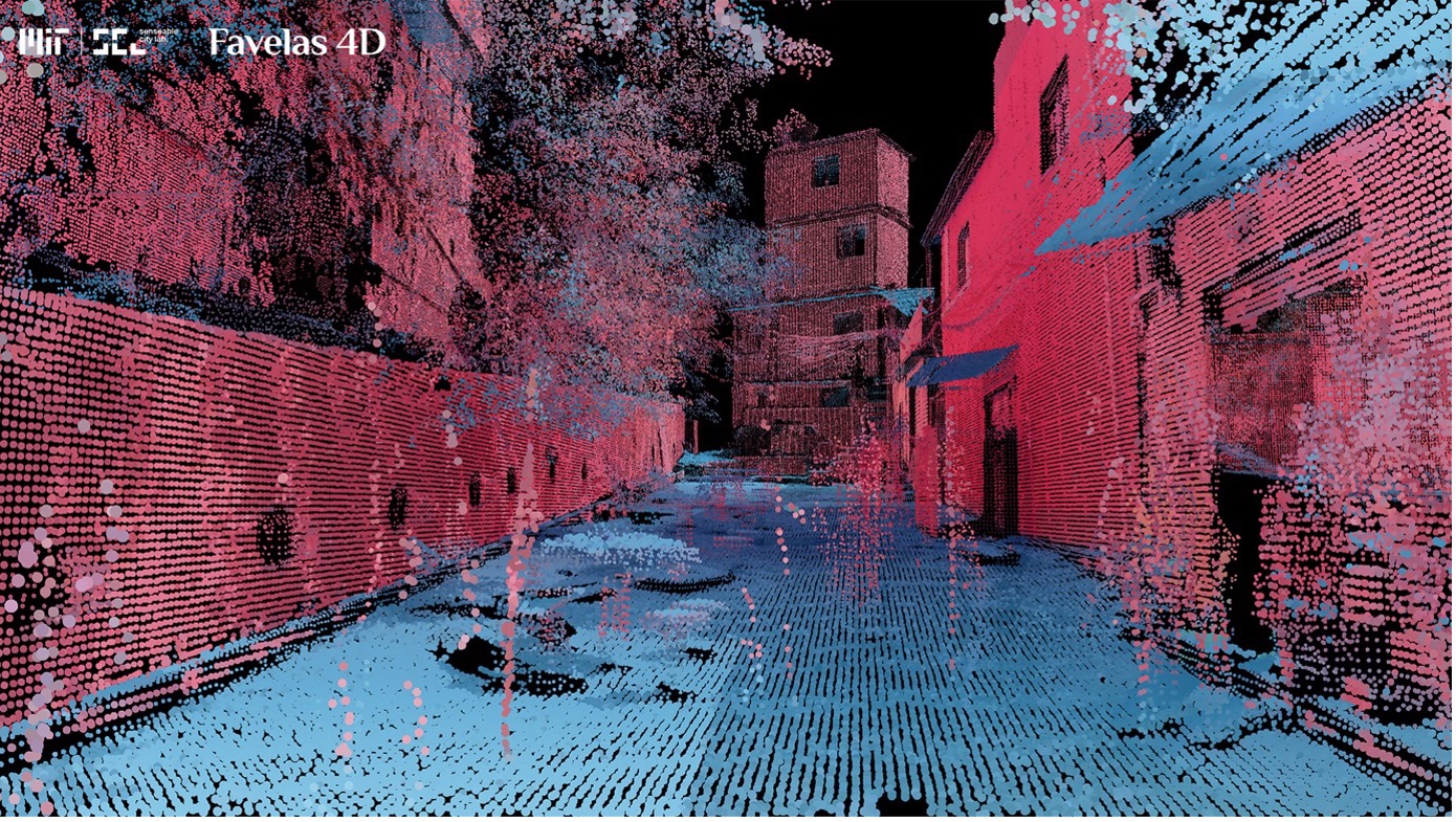
They pointed out that digital maps can help understand the forest ecosystem in more detail than ever before. Using LIDAR and AI technologies, it may soon be possible not only to map and digitalize each individual tree from crown to root, but also to understand and scan how different species are connected to the surrounding topography and how each part of the ecosystem relates to the land around it – i.e. a complex approach-.
Digital twins can therefore help to clarify the relationships between rainforest ecosystems and the cities embedded within them. This includes complex and informal neighborhoods that remain unmapped. Based on this new amount of data and knowledge about the Amazon rainforest, it could be possible to help protect the ecosystem from environmental crime and unsustainable development by promoting and encouraging green alternatives.
Follow this link to read the full article:
https://news.mongabay.com/2023/11/can-digital-twins-help-save-the-amazon-commentary/
If you are interested in the activities of MIT’s Senseable City Lab, follow this link:
And for the Igarapé Institute:

Image source: MIT Senseable City Lab.


