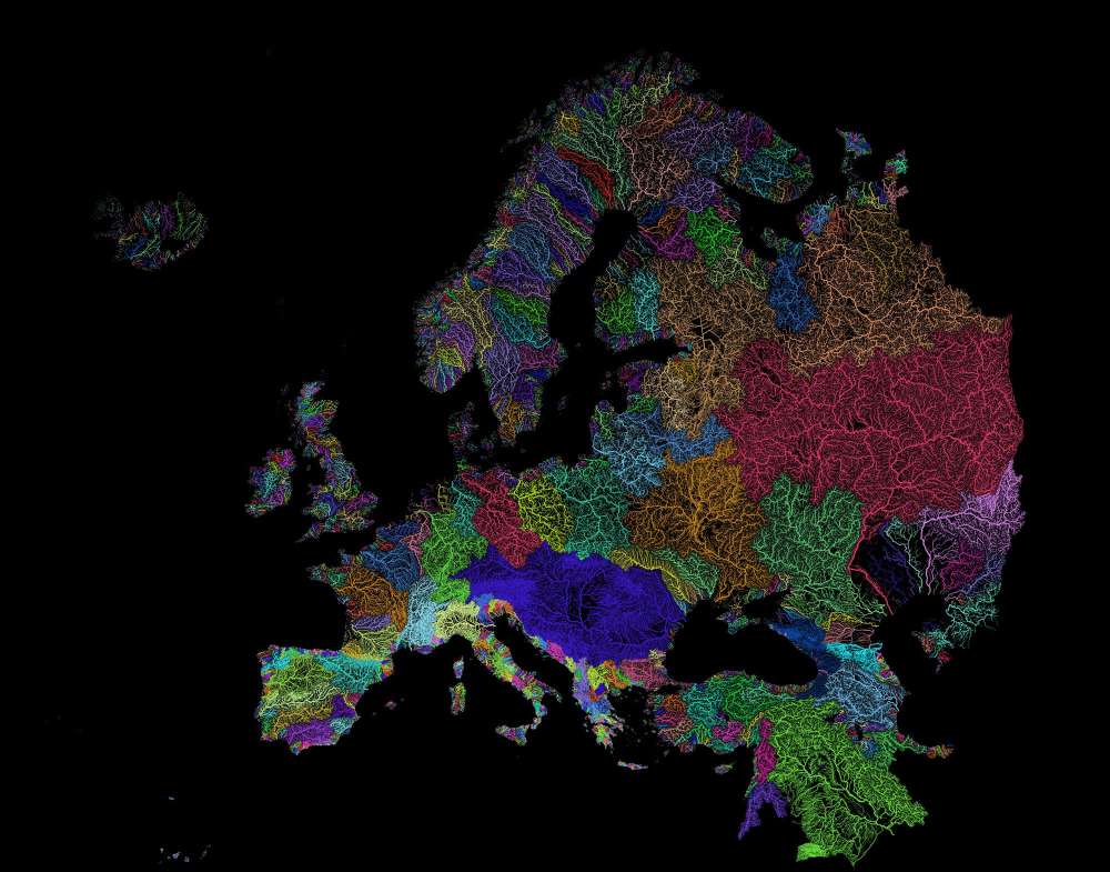
Rivers are fundamentals in creating the right conditions for life: that is why most cities since ancient civilizations were built along their banks. Rivers form intricate networks linking the main branches and their smaller tributaries. These river webs have been mapped by geographer Szűcs Róbert, dividing our planet’s watersheds into colorful catchment areas, and providing an informative look at how water flows across continents.
Check out the full article on visual capitalist, and take a look at Robert’s wonderful maps!
Watershed Map of the United States & Cascadia – by Szűcs Róbert