

In 2021 The excavation campaign could not take place on spot due to the Covid-19 pandemic. However, the entire hill was photographed by drone.
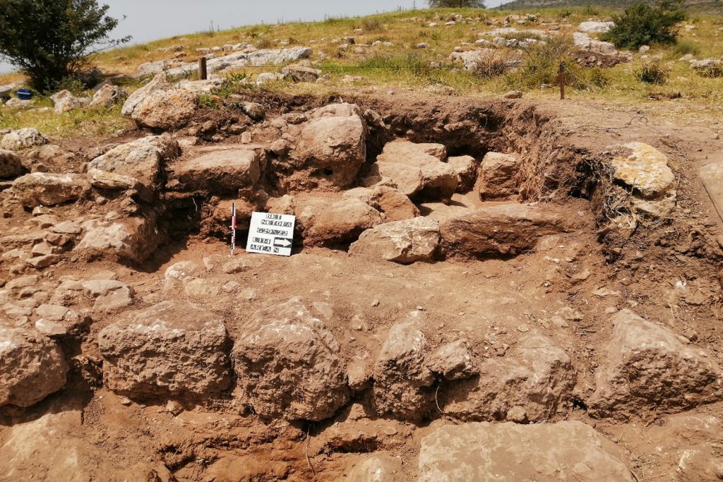
The first excavation campaign took place in April 2022. We opened two sectors on the upper eastern part of the hill as an enclosure with a thick wall and three entrances could clearly be seen on the surface. One sector concerns a square measuring 22.5 meters on a side; the enclosure n°1 (pic. 2), with a small access door on its south side, and another rectangular sector (22.5 m x 12.5 m) northen of the first; the enclosure n° 2 (pic. 3).

The results exceeded our expectations. The oldest traces of inhabitation belong to the Late Bronze (around 1500 BCE) and Iron (7th-6th century BCE) according to the pottery found. However, the number of sherds is low compared to those dating from the Roman period. We have not found any structure of subsequent periods.
The two enclosures are built in a similar way and seem to have been erected at the end of the 1st-2th century CE (pic. 4). They were in use until the 4th century CE.

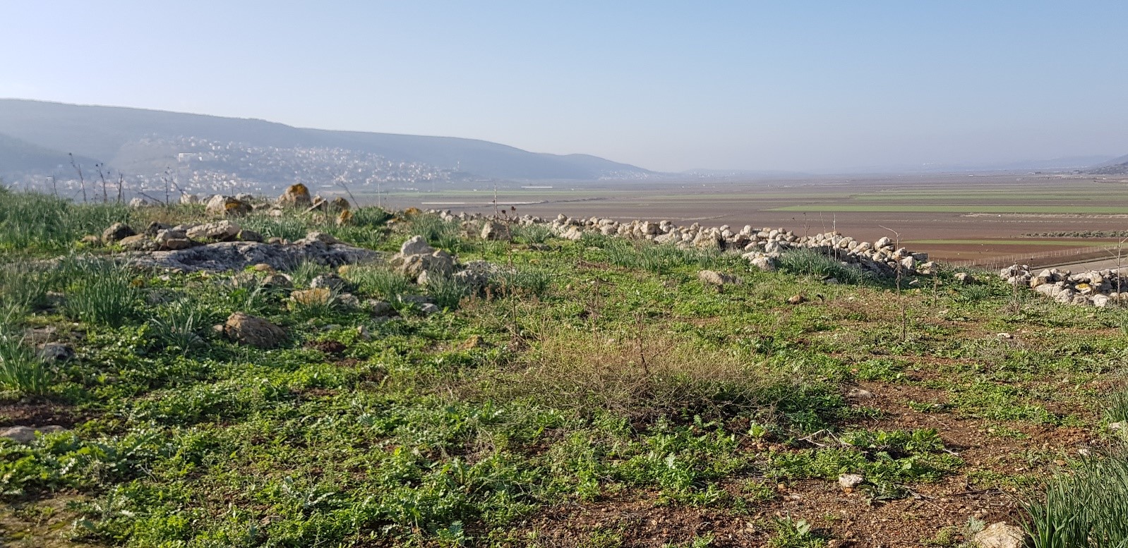
The hill location overlooking the agricultural valley of Beit Netofa, the enclosures plan and scale suggest that it is a Roman farm (1st-4th century BC). We have not unearthed any interior walls or dwellings. Further excavations will be necessary to confirm or refute this observation. Caves are built into the enclosures (photo 5) but we have not yet digged them to ascertain if they are caves of refuge and/or caves of storage. The function of these caves remain to be determined in subsequent excavations.

In addition, the outcropping rock has often been cut to erect the hill: from simple rainwater drains to the extraction of stones for the construction of the site. For example, two olive presses and a wine press were found on the hill slopes. Their excavation is necessary to date them. Similarly, facility water comes from cisterns dug into the rock (pic. 6), as the nearest spring, ‘En Netofa, is 1'200 metres from the site.

The site seems to have had a later phase of occupation during the Mamluk period (13th-14th century CE); some pottery shards and coins (pic. 7) attest it but over a short time.

Over the excavation campaign, we took advantage of few moments of relaxation to visit some of the several historical sites that Israel offers. Thus, we first went to the remains of the Herodion (photo 8). It would have been erected by King Herod the great, to serve him as a stronghold and mausoleum, even if to this day the location of the latter has still not been formally identified.

After visiting Herodion, we headed east to contemplate the Dead Sea and bathe there. Then, we took the road again and made a detour to the illustrious site of Qumran surrounded by these so magnificent and characteristic rock formations, riddled with numerous caves.

Finally, a stay in Israel without a visit to the emblematic and multi-millennial city of Jerusalem is inconceivable. This is how we ended our Israeli journey, with a stroll through the ancient narrow streets of the old city, and the discovery of some of the countless historical monuments in the city of Jerusalem.
