

Khirbet Bet Netofa from its Western entrance.©R. Aligon
Last year, in 2022, during the second excavation campaign, it was decided to focus the research on the eastern side of the Khirbet Bet Netofa site summit. That's why two excavation squares were opened: square #1 to the north and square #2 to the south of this area. Two adjacent caves to the squares, caves #1 and #2, were also partially surveyed for safety reasons.
The various artifacts found indicate that the earliest traces of dwelling house date back to the Late Bronze Age (around 1500 BCE). The excavations have uncovered two constructed enclosures towards the end of the 1st millennium BCE and the 2nd century CE; these are believed to have been in use until the end of the 4th century CE. Considering all the discovered elements, the research hypothesis was leaning towards a Roman farm (1st-4th century CE). However, more in-depth excavations appeared necessary to confirm these discoveries and also determine the use and function of the two caves.

1 Zone N, East square ©R. Aligon
During the 2023 season, it was decided to expand the research and resume the excavations in four distinct areas. First of all, it was necessary to continue the investigations in zone (N), which was opened last year, in order to confirm the hypotheses put forward (photo #1). That's why the team decided to resume excavations in square #2 and expand the surface to the north and west. Additionally, in collaboration with an Israeli team of speleologists, cave #1 was partially excavated. Simultaneously, the decision to extend the research to other areas in order to gain a more comprehensive view of the site became evident. Thus, a new cavity at the summit of the hill was excavated: cave #3 (photo #2).

2 Cave N°3, access hole ©R.Aligon
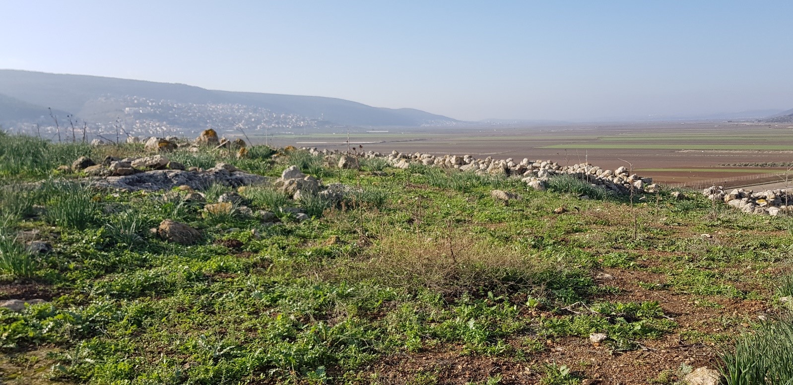
Given its position, shape, and size, this one appears to play a significant role in the life of the site. The fourth and last excavation site opened in 2023 is located on the west side of the summit of the site, called zone G (photo #3). It have been chosen because of evident clear traces of construction.

3 Zone G, 1st day of excavation ©R. Aligon
The 2023 excavation campaign in zone N revealed a basin carved into the stone and a plastered pool later covered by a wall (photo #4).

4 Zone N, basin carved into the rock ©R. Aligon
The proximity of a north-facing access ramp suggests that this area was used for processing agricultural products harvested in the Netofa Valley. These structures were abandoned in the middle of the Roman period, with a wall being constructed over them. This seems to indicate a change in the function of the area, perhaps related to a shift in agricultural crops or a reassignment of zone N, such as for grazing, for example. As for cave #1, the discoveries show similar layers of occupation as in zone N. Additionally, the presence of charcoal and typical Galilean pottery indicates that the cave was inhabited in the past. However, in the current state of research, it is impossible to determine whether it was a permanent dwelling or a seasonal shelter for agricultural workers.

5 Zone G ©Guillaume Saehr
In 2023, a new excavation area (G) was opened, located to the west of the site's summit (photo #5). It was chosen because a large visible square structure was exposed. One of the research hypotheses suggested it might be a tower. However, the thinness of the excavated walls and the Galilean pottery discovered do not support this theory; instead, they indicate it was a residential site. The periods of occupation correspond to those in zone N. There is a change in the arrangement of walls and masonry during the mid-Roman period, and a new building was constructed during the late period, around the 5th century CE. During that time, the region experienced economic development and the arrival of a new population, which could have led to architectural changes. Hellenistic and Roman farms in the region tended to cluster buildings and form a massive layout, which might explain the square structure seen on the surface. The discoveries in zone G could suggest the presence of a hamlet or small village spreading across the hill's crown; water was stored in several plastered cisterns carved into the rock and also sourced from the 'En Netofa spring located 1 kilometer to the northwest of the site. However, further excavations will be necessary to support these hypotheses.

6 Cave No. 3, tunnel ©R. Aligon
The last excavation area is cave #3, located at the summit of the site (photo #6). The discovered elements have indicated a change in the cave's function. During the initial phase of occupation, at the beginning of the Roman period, the cave was a plastered cistern for water storage. It appears to have been later transformed into a refuge cave during the 1st century BCE. It seems to have served this purpose continuously until the end of the Roman period. It's important to note that the use as a refuge predates the First Jewish Revolt (66-74 CE) and continued long after the Second Jewish Revolt (132-136 CE). Such cave refuge activity over the long term is indicative of the unstable and potentially dangerous situation in Lower Galilee throughout the Roman period, and it may have been this instability that led to the abandonment of the agricultural site of Khirbet Bet Netofa in the 4th-5th century CE.
The 2023 excavation campaign has uncovered numerous discoveries, including a rare gold coin from Emperor Hadrian. The characterization of this rural Galilean site will continue in the coming years.

7 Bet Shearim, the synagogue's arch ©D. Hamidovic
In addition to the archaeological excavations, visits are organized during leisure time. In 2023, we visited the site of Bet Shearim (photo #7), including the necropolis and the synagogue, as well as the remains of Caesarea on the coast (photo #8), built by Herod the Great at the end of the 1st century CE, and finally...

8 Caesarea, Crusader fortifications ©R. Aligon
...the medieval city of Akko, including a visit to the Crusader fortress of the Hospitallers (photo #9).

9 Akko, Hospitallers' fortress ©R. Aligon