Français
English
Géoblog
The popular science blog of the Faculty of Geosciences and the Environment
Research in action
Insight
The faculty’s “Insights” programme brings together researchers from a variety of disciplines, ranging from the humanities to the exact sciences.
Winners and projects
Theses defended
The dynamism of research is reflected in the numerous theses prepared and defended in the Faculty. Here you will find summaries of doctoral theses in geography, earth sciences, environmental sciences and tourism studies. Some of these works are available in full in Open Access on SERVAL.
Press review
Files
Events
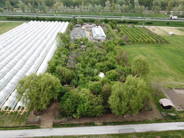
Urban farming
« Rapid urban growth in the developing world is placing increasing strain on urban food supply systems. Agriculture, which includes horticulture, livestock raising, fisheries, forestry, and the production of milk and fodder, is expanding within and around cities. Urban agriculture provides fresh food, generates employment, recycles urban waste, creates green belts, and strengthens cities’ resilience to climate change. » — Food and Agriculture Organization of the United Nations
Regional planning
Anthropocene
Weather report
Refresh your knowledge of meteorology with the column by Jean-Michel Fallot, geographer, senior lecturer at the Institute of Geography and Sustainability, and climate specialist. Mr Fallot regularly provides a summary of the weather in Switzerland, climate and seasonal trends, and the history of meteorology in our country, based on data from MétéoSuisse.
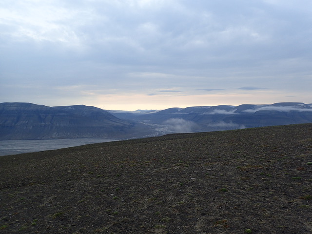
Far north
Artificial intelligence
Oceans
Focus on best practices
How are field and research practices evolving in geosciences and environmental sciences? Discover the testimonials and reflections of our research community in this report.
Géoblog
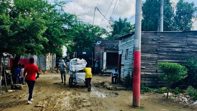
Urban disposabilities : garbage and the relational politics of place-making in Cartagena, Colombia
15 November 2023
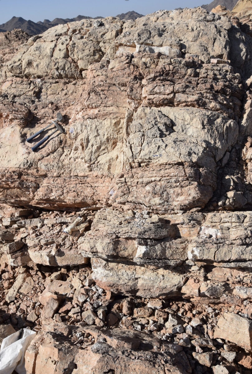
Evaluating Environmental Drivers of Late Permian to Early Triassic Marine Biotic Events Using Multiple Geochemical and Isotopic Proxies
15 November 2023
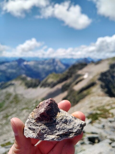
Unravelling the heat budget of the Lepontine Dome: Interdisciplinary geological, petrological, thermodynamic and geochronological study of shear zones
13 November 2023
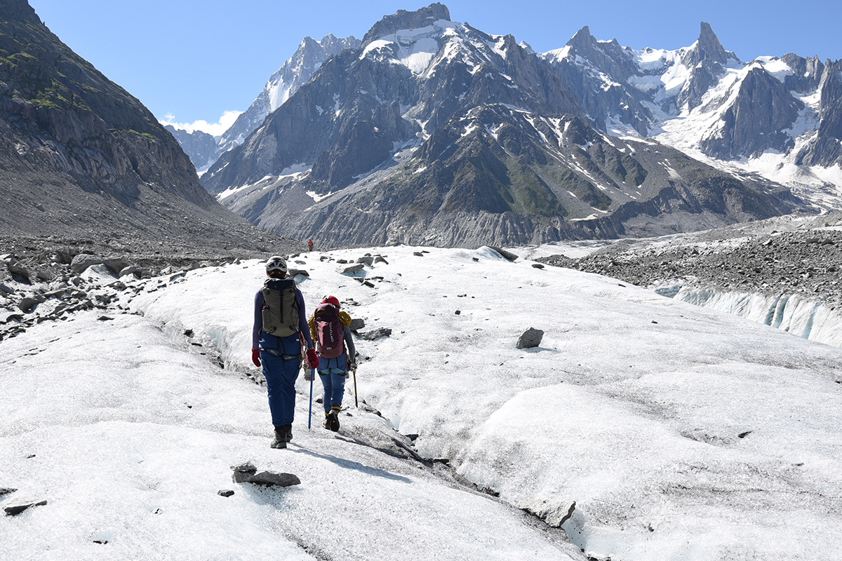
Using rock surface luminescence dating to understand the dynamics of a glacier: a new approach initiated this summer at the Mer de Glace
28 September 2023
Deciphering Complexities of the Organic Carbon Cycle in the Smithian and Spathian Substages of the Early Triassic
30 August 2023
In search of other environments: permaculture through the prism of mesology in Switzerland and Japan
30 August 2023
Production, circulation and application of scientific knowledge: forest hydrology and policy-making in Chile
1 February 2023
Hydrologic processes analysis in a high Alpine catchment: the case of the Vallon de Nant
13 January 2022
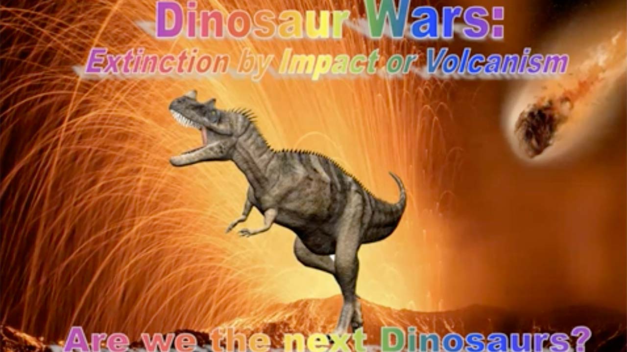
Dinosaur wars: Extinction by Asteroid or Volcanism? Are we the Dinosaurs of the 6th Mass Extinction?
21 December 2021
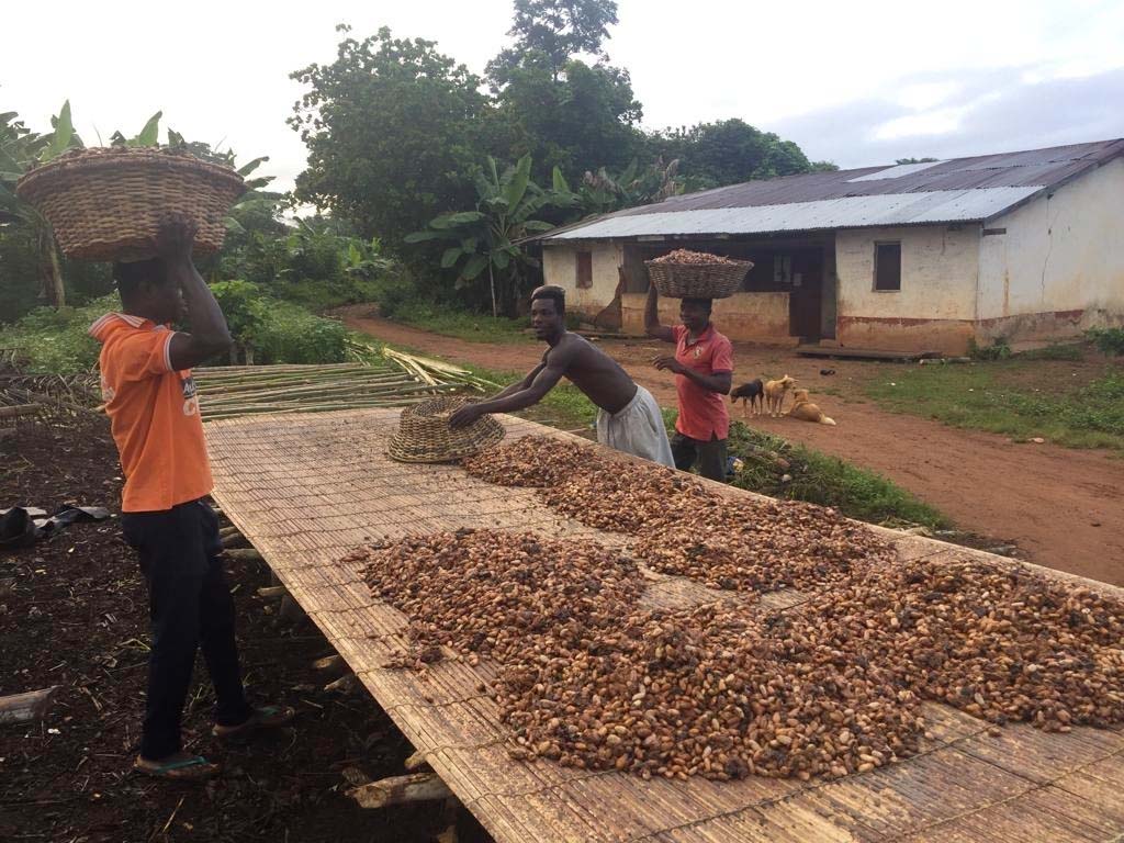
Private sector certification programmes and socio-ecological changes in the cocoa landscapes of Ghana: A political ecology study
3 December 2021
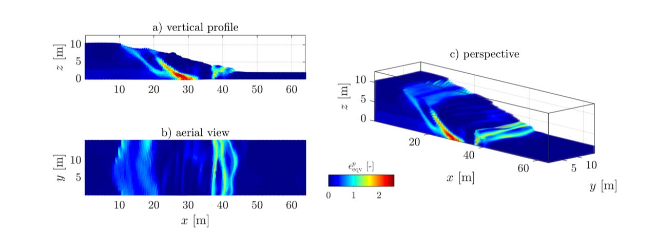
Elasto-plastic deformations within a material point framework on modern GPU architectures
3 December 2021
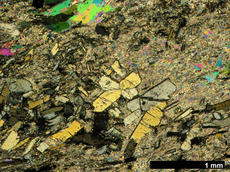
Deciphering the Tectono-Metamorphic Evolution of the Monte Rosa Nappe : a Combined Petrological, Structural and Numerical Modelling Study
22 September 2021
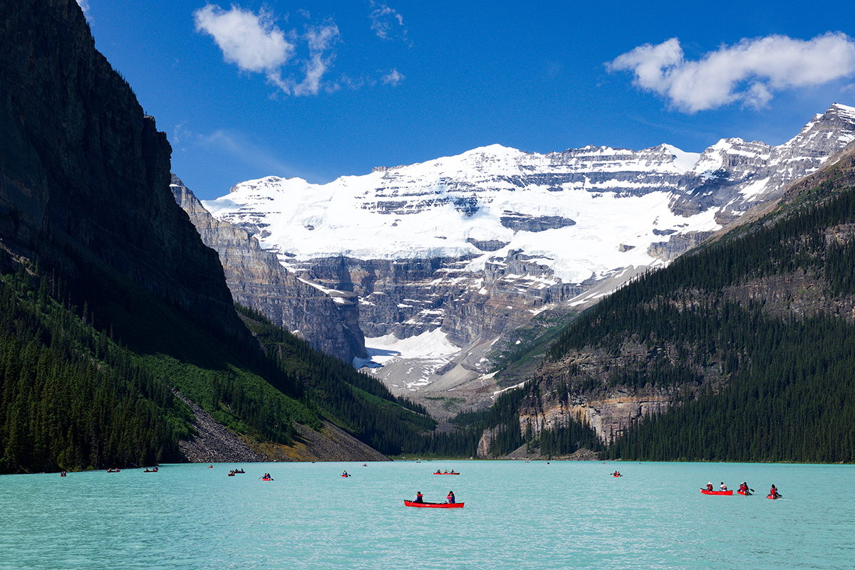
Challenging connectivity during nature-based tourism: (dis)connection at Banff National Park, Canada
14 September 2021
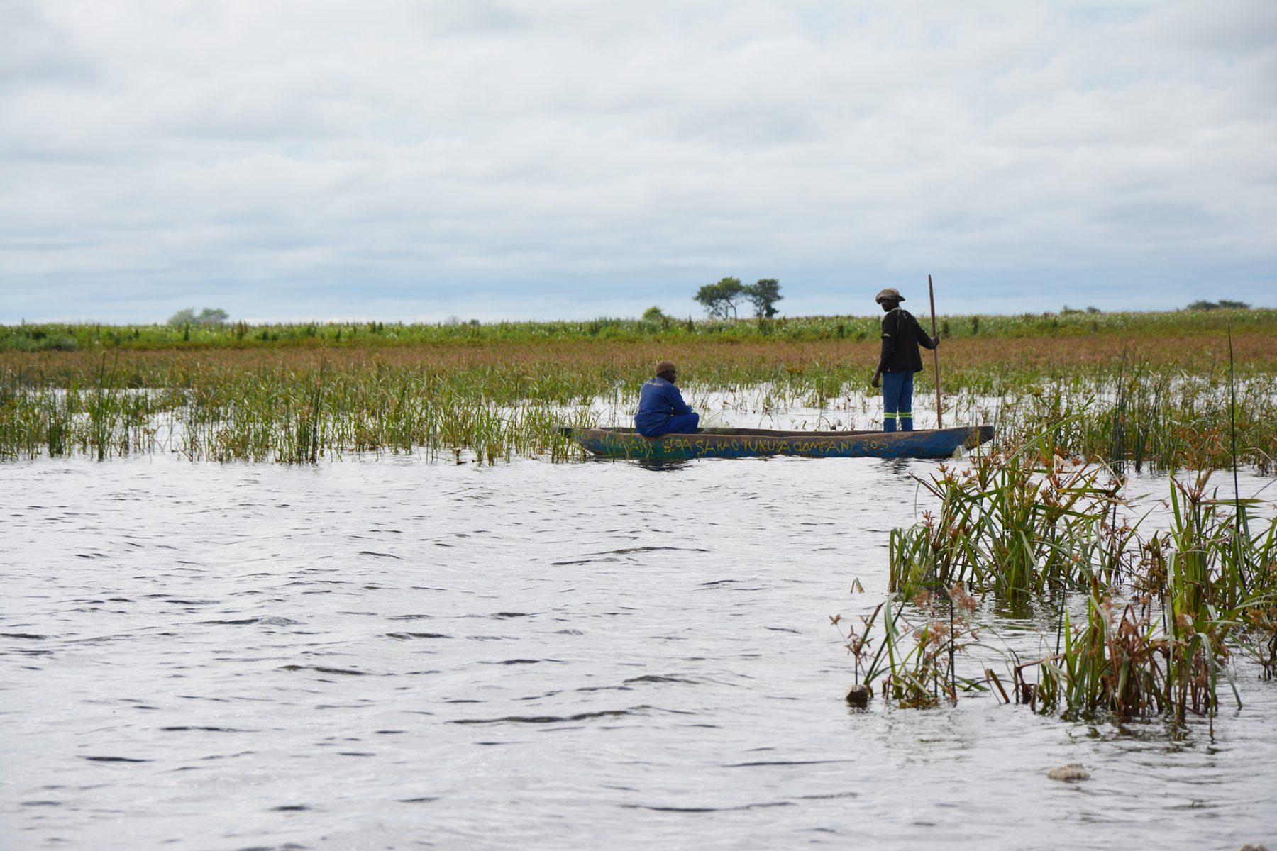
A multidisciplinary approach to unravel the environmental and climatic history of Lake Liambezi in the Caprivi, Namibia
29 April 2021
Urban Resilience : Towards a Multi-Level Approach to Russian Metropolitan Areas Facing the Economic Crisis of 2014-2016
6 January 2021
←
Previous Page
1
2
3
Next Page
→