Français
English
Géoblog
The popular science blog of the Faculty of Geosciences and the Environment
Research in action
Insight
The faculty’s “Insights” programme brings together researchers from a variety of disciplines, ranging from the humanities to the exact sciences.
Winners and projects
Theses defended
The dynamism of research is reflected in the numerous theses prepared and defended in the Faculty. Here you will find summaries of doctoral theses in geography, earth sciences, environmental sciences and tourism studies. Some of these works are available in full in Open Access on SERVAL.
Press review
Files
Events
Urban farming
« Rapid urban growth in the developing world is placing increasing strain on urban food supply systems. Agriculture, which includes horticulture, livestock raising, fisheries, forestry, and the production of milk and fodder, is expanding within and around cities. Urban agriculture provides fresh food, generates employment, recycles urban waste, creates green belts, and strengthens cities’ resilience to climate change. » — Food and Agriculture Organization of the United Nations
Regional planning
Anthropocene
Weather report
Refresh your knowledge of meteorology with the column by Jean-Michel Fallot, geographer, senior lecturer at the Institute of Geography and Sustainability, and climate specialist. Mr Fallot regularly provides a summary of the weather in Switzerland, climate and seasonal trends, and the history of meteorology in our country, based on data from MétéoSuisse.
Far north
Artificial intelligence
Oceans
Focus on best practices
How are field and research practices evolving in geosciences and environmental sciences? Discover the testimonials and reflections of our research community in this report.
Géoblog
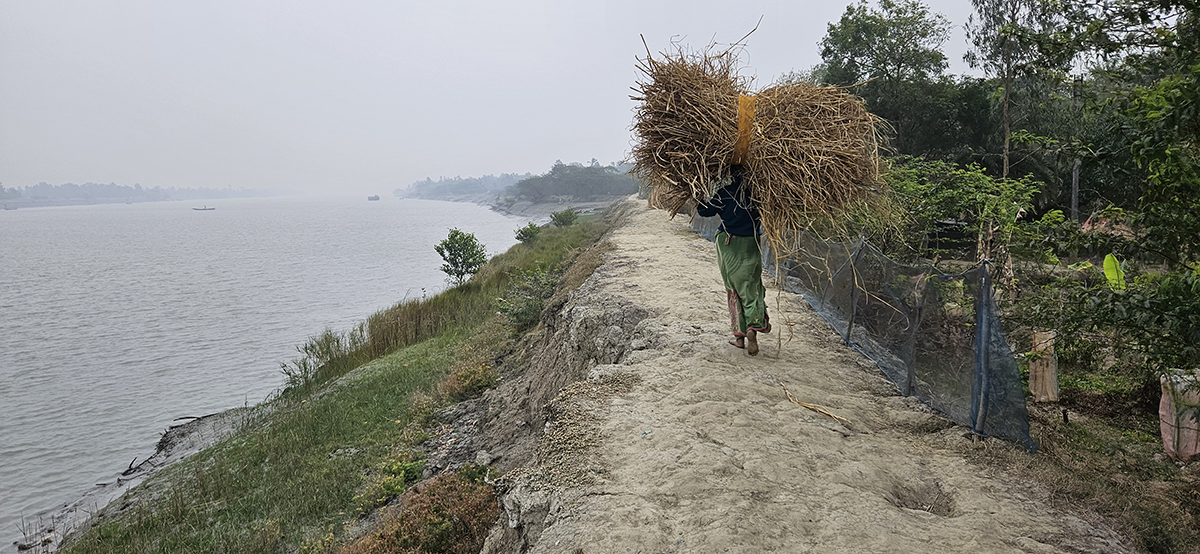
ENGAGE4Sundarbans : Social Resilience in the Sundarbans – India and Bangladesh
6 February 2026
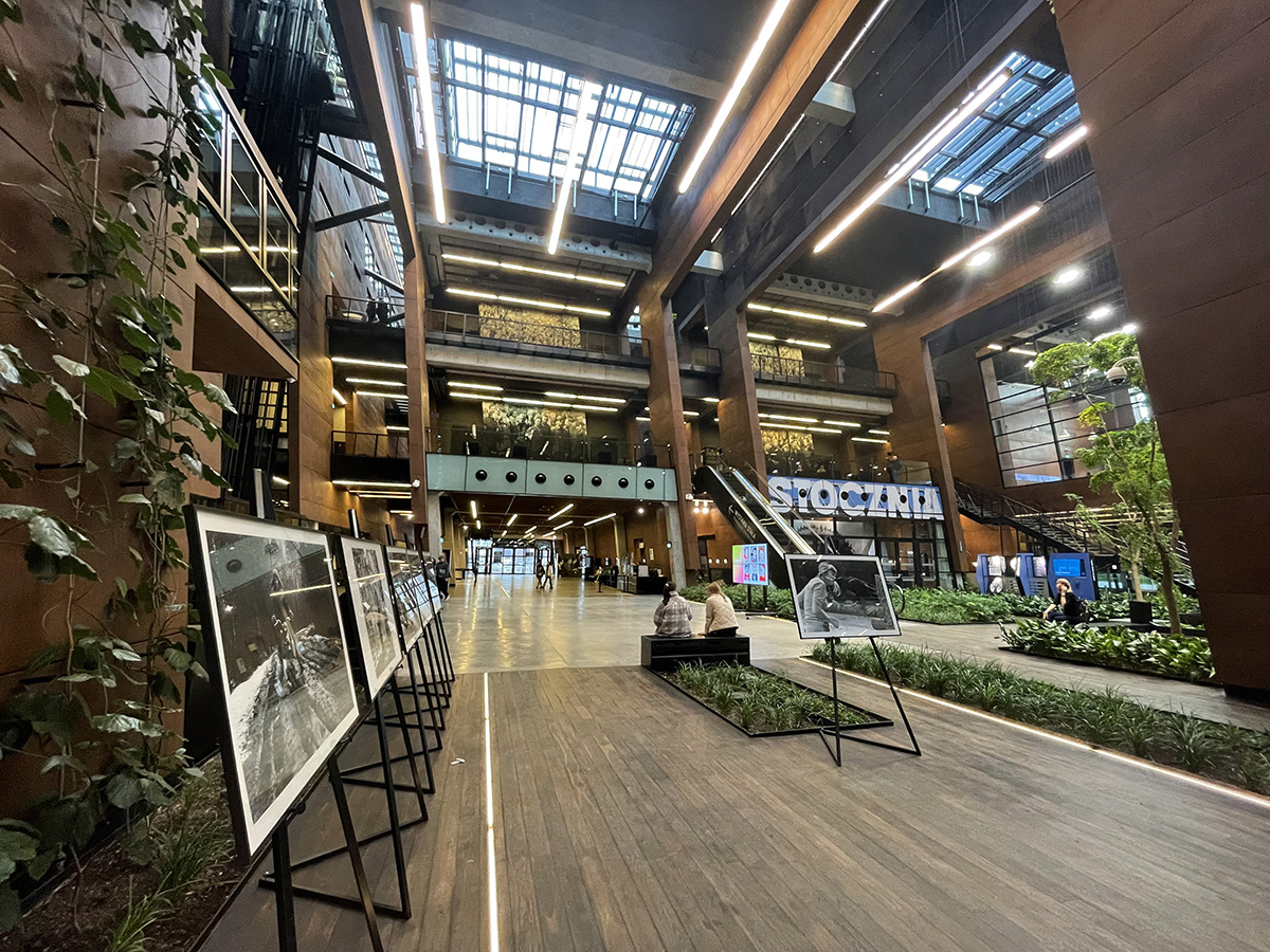
Materialities of Bigness Encountering the Urban Politics of Iconicity with the European Solidarity Centre
16 January 2026
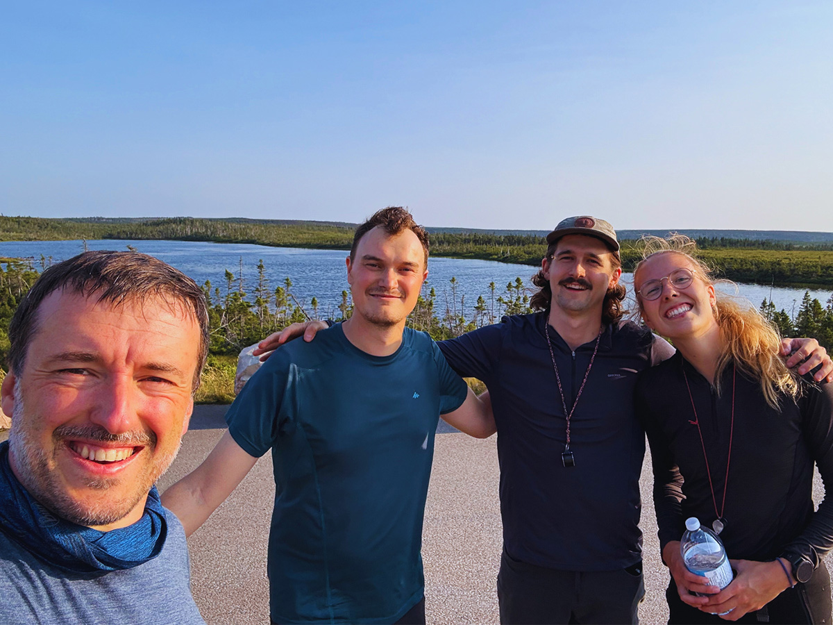
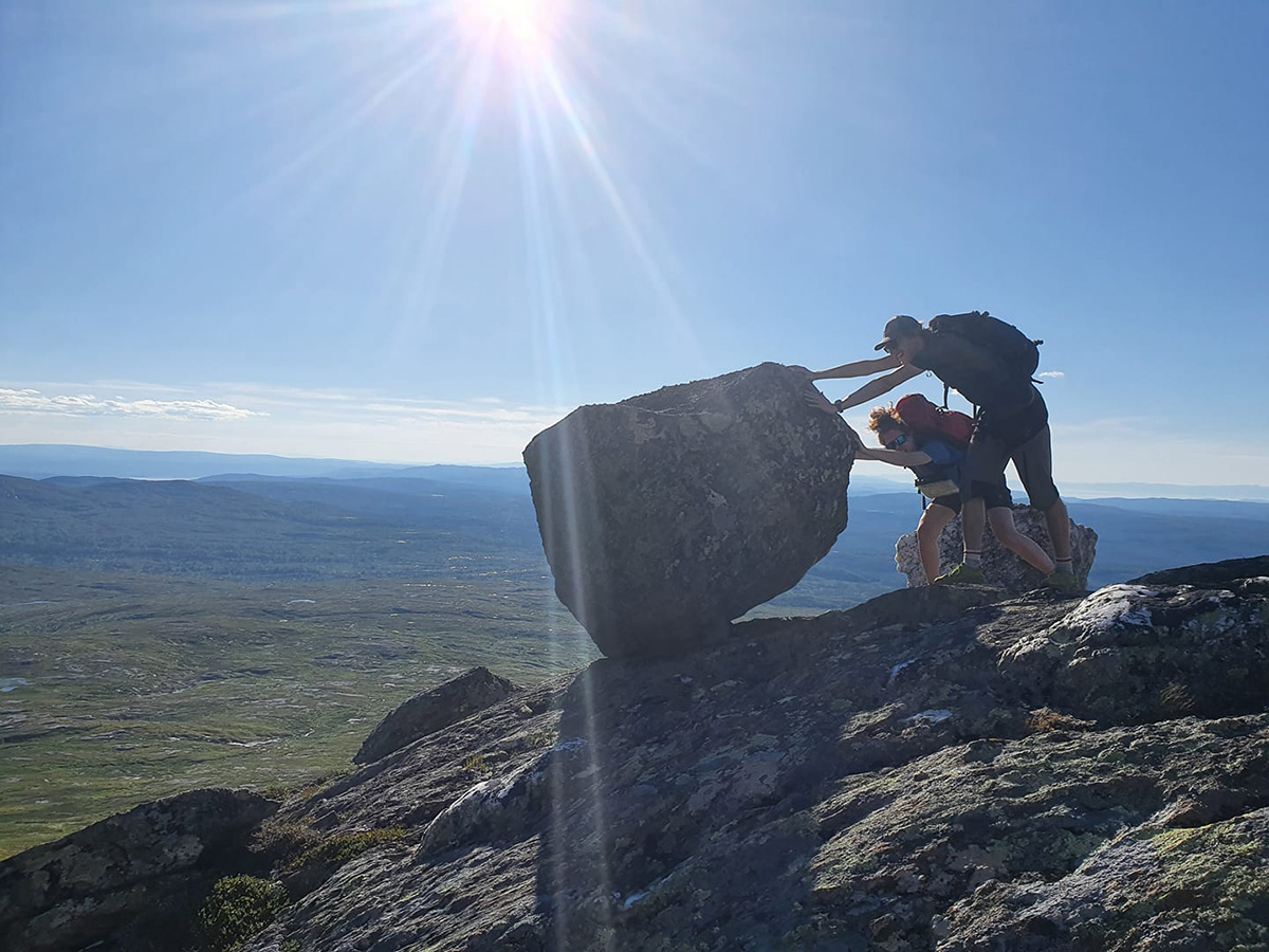
Where rocks transform: a geological immersion in eastern Canada
18 December 2025
Rockfall hazard: From observations to improved runout predictions utilizing detailed terrain models
10 December 2025
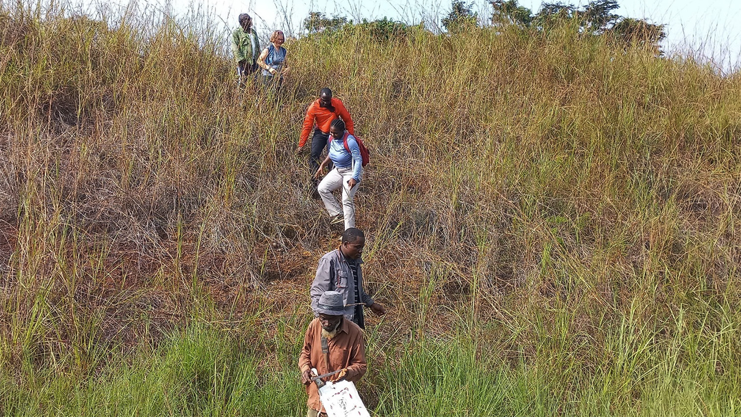
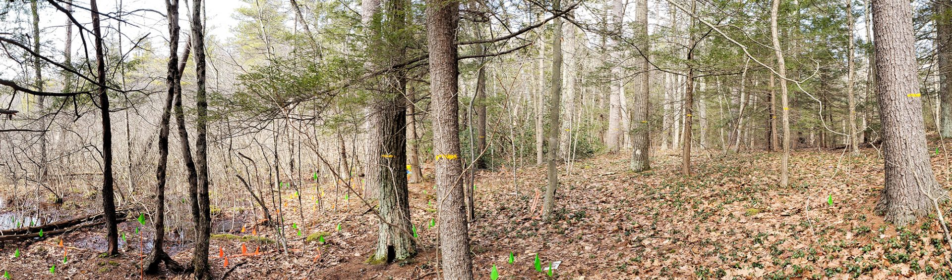
A transdisciplinary field school for understanding how past human activities are still shaping the biodiversity of Gabon’s ecosystems
17 September 2025
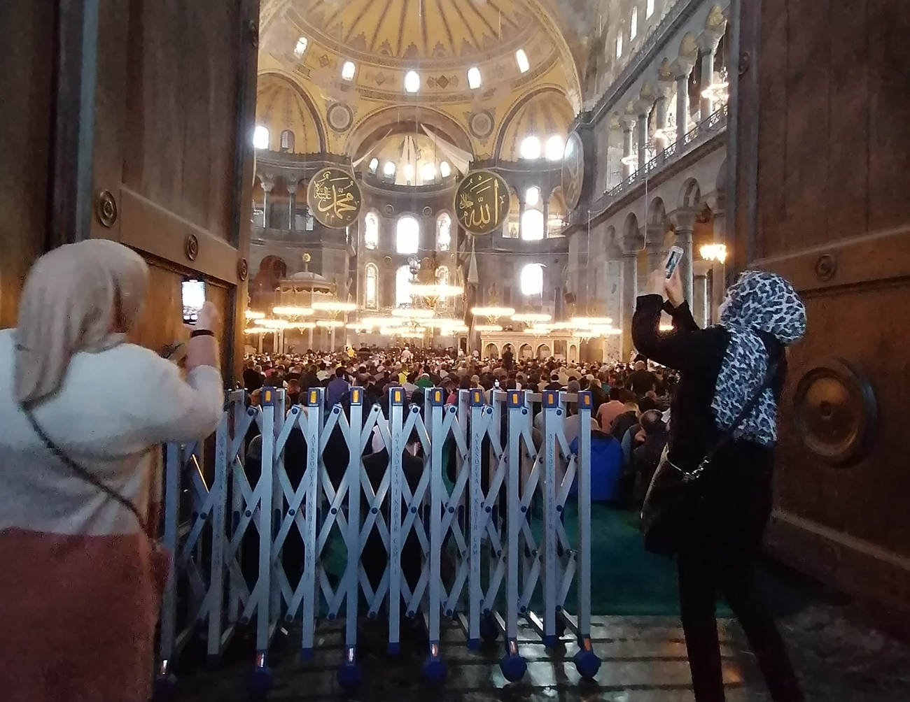
Building entanglements: Hagia Sophia and the everyday politics of urban landmarks
4 September 2025
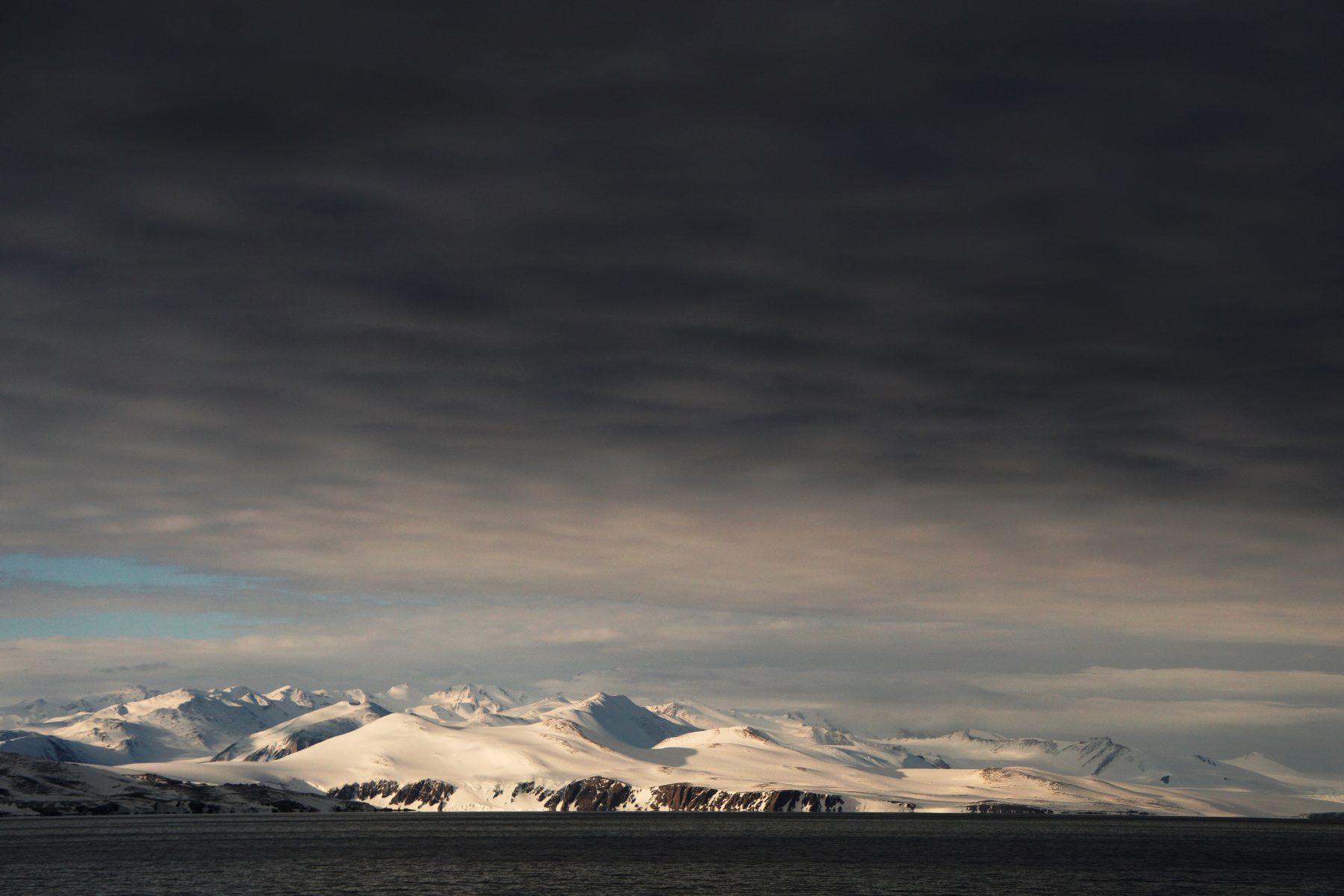
The Weddell Sea: predator or prey ? A paleo-investigation of ice-ocean interactions in the Weddell Sea through marine geology and radiogenic isotopes
2 July 2025
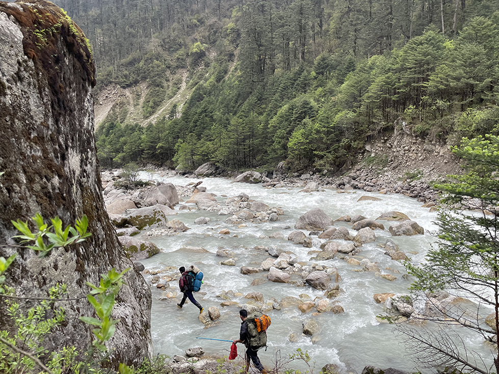
Influence of climate change on water resources in Alpine and Himalayan river basins using tree rings and stable isotope analyses
5 February 2025
Biogeochemical Drivers of Manganese-Mediated Litter Decomposition
16 January 2025
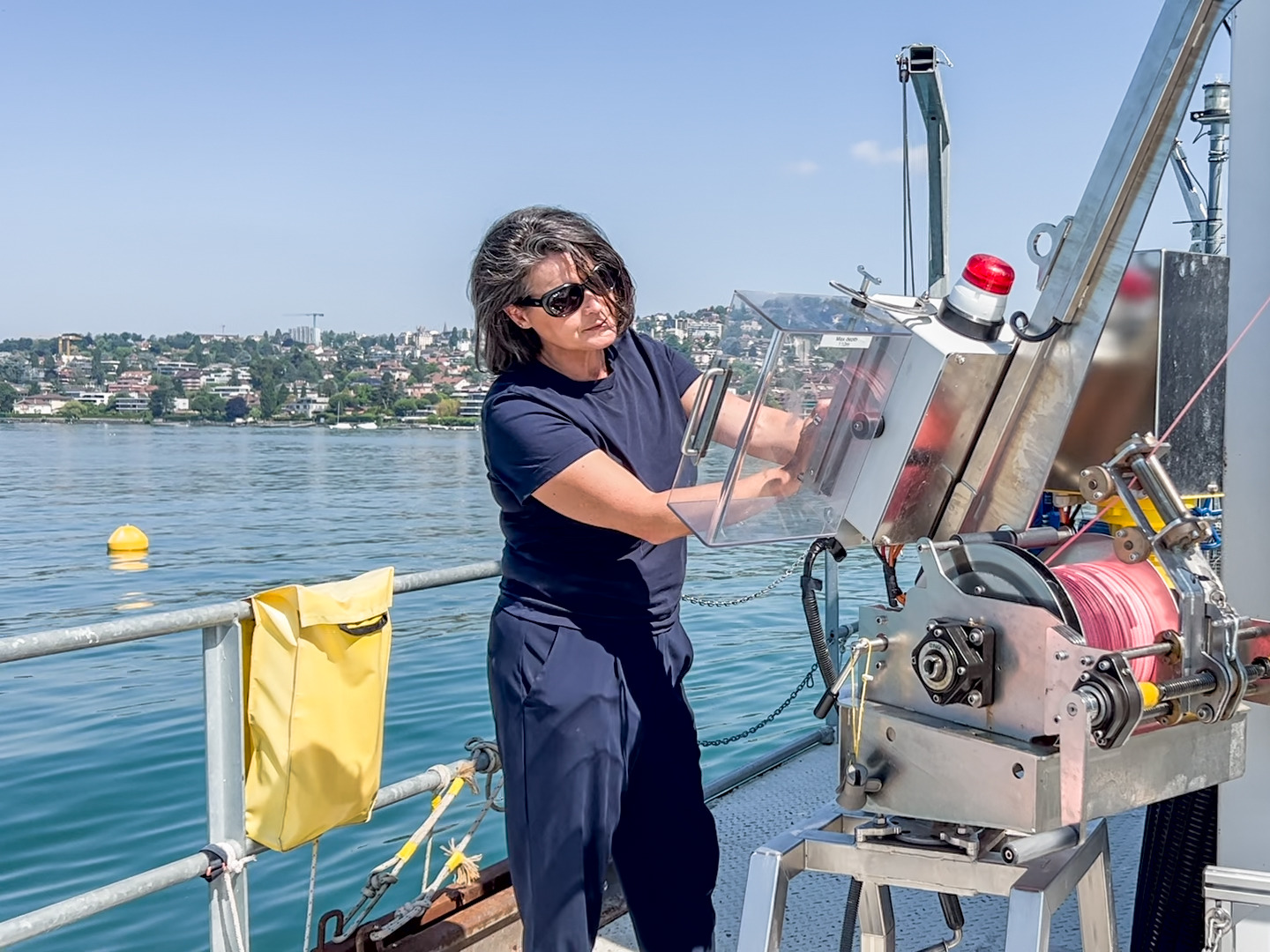
Why does Lake Geneva emit large quantities of CO2? UNIL scientists provide the answer and solve a scientific enigma
1 November 2024
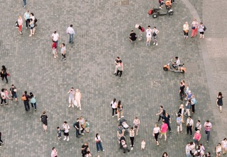
Encounters with Difference: Exploring the Diversity of Everyday Life in Urban Public Squares
12 June 2024
Algorithms made more “robust” by 13 Swiss and U.S. scientists to anticipate the future of the climate using AI
7 February 2024
Quaternary evolution of an African High Plateau: The Chobe Enclave (Northen Botswana)
7 February 2024
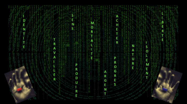
Towards a post-growth economic culture: existential transition blocks and levers from an ecopsychological perspective
5 December 2023
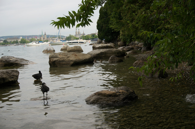
The Multispecies City: Becoming with Rats in Zurich
17 November 2023
1
2
3
Next Page
→