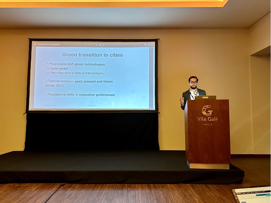
At the European Colloquium of Theoretical and Quantitative Geography 2023 (ECTQG, 2023), Jorge Salgado – researcher at Citadyne – presented the progress of his research entitled: “Cities in the face of green technologies, skills and preferences transitions: a multilevel complex approach”. His agent-based modelling approach allows the simulation of changes in firms technologies and consumer preferences as a result of the green transition. The research has been well received because it simultaneously integrates key elements of the economic system, enabling bottom-up interactions to understand the reconfiguration of urban systems around the world.
If you are interested in this research you can contact Jorge Salgado:
Measuring the Value of Location Data: A Step-by-Step Guide
The UK’s Geospatial Commission – part of the Department for Science, Innovation and Technology – has recently published a framework to advise the UK government on the most productive and economically valuable uses of geospatial data. This effort is a result of commitments made in the UK’s Geospatial Strategy, published in 2020 and reiterated in the 2022/23 Annual Plan of the Commission.
To address this major challenge and given the growing importance of location data in sectors as diverse as urban planning, transport and public services. The Geospatial Commission presents a step-by-step approach to effectively measure the value of location data. It emphasizes the importance of considering both economic and non-economic factors in the valuation process.
The framework includes aspects such as data quality, usability, accessibility and societal impact to provide a holistic view of the value of location data. According to the Commission, “assessing the value of location data is difficult because: (i) value is often only realized when location data is combined with other data sets, (ii) value varies depending on the intended use, and (iii) value can be difficult to predict”.
In response to these challenges, the methodology for measuring the value of location data covers key components such as data collection, data management, data analysis and data use. It also emphasizes the integration of location data with other datasets and the use of advanced technologies, such as artificial intelligence and machine learning, to unlock its full potential.
The framework guide, a summary of its steps, its application and results can be found at the following link: