CITADYNE Blog
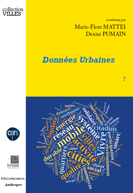
Données Urbaines 7
Just published: URBAN DATA 7 (Données Urbaines) Decrypting new diverse and massive urban data, this book shows how cities, their governments their inhabitants, their businesses , adapt deeply to all these transformations. The book...

The global flow of people
Explore new estimates of migration flows between and within regions for five-year periods, 1990 to 2010. Click on a region to discover flows country-by-country. by Nikola Sander, Guy J. Abel & Ramon Bauer at...
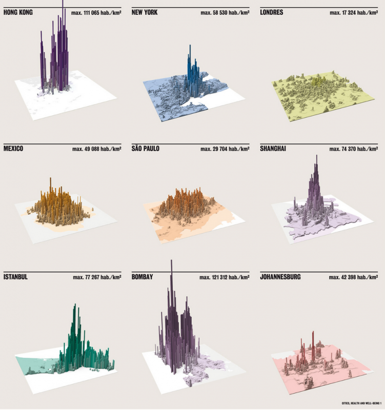
Cities’ densities – A comparative approach
Source: London school of economics, 2015

Map of the world of the most popular requests on internet 2013
By Jaume Serra published in the “Courrier international” of January 2nd 2014
An incredible map of which countries e-mail each other, and why?
The Internet was supposed to let us bridge continents and cultures like never before. But after analyzing more than 10 million e-mails from Yahoo! mail, a team of computer researchers noticed an interesting phenomenon: E-mails...

ORBIS: the Stanford Geospatial Network Model of the Roman World
The system calculates the distance from a city to another one, according to faster path, or lower cost. http://orbis.stanford.edu/ Go to “Mapping ORBIS”, It draws the path and create many different maps and graphs...

Science Metrix
A website showing the proximities between sciences, between fields, maps of ontologies: http://www.science-metrix.com/OntologyExplorer/#app=cde1&8f8c-selectedIndex=2 http://www.science-metrix.com/OntologyExplorer/#app=cde1&8f8c-selectedIndex=1

Art and Geography
Three years ago, a friend of mine who is a genius artist (Catherine Bolle), asked me to do geography on her biography. She told me many things about her life, during some few sundays...

What is wrong with social networking?
A conversation with scientist and inventor of the World Wide Web Tim Berners-Lee on what is wrong with social networking Sir Tim berners Lee in DAVOS 2013

Tomorrow’s world
A guide to the next 150 years by BBC news graphics http://www.bbc.com/future/story/20130102-tomorrows-world

Interactive maps of Jean-Jacques Rousseau’s letters
Everything is mappable. The letters written by Jean-Jacques Rousseau are classified by place and time. So you can enter into the Space-time of the author. http://www.rousseauonline.ch/maps/maps.php

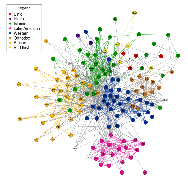
When Networks Network
The magazine Science underline the huge advance made in network analysis. Networks interact, create cascading effects…… read more in Science
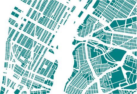
Dissection of cities
I don’t know what we can learn from the physical dissection of cities: maybe some fractal analysis could work? see the website Berlin: New York City: and other cities in the website (made by...

City of London during Olympic Games, maps of twitts
The density of twitter users shows the location of people in London during the Olympic games…. impressive…… See the website: http://urbantick.blogspot.co.uk/2012/09/virtual-landscape-and-peak-for-london.html London during Olympic games: Other cities:

Remote sensing tracks relentless urban spread
Looking back through the decades, these snapshots from space — created exclusively for CNN by NASA’s Landsat department in collaboration with the U.S. Geological Survey — reveal the impact of the vast population shift...
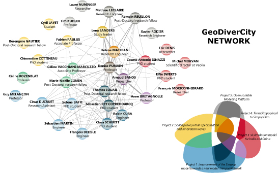
New Blog for the ERC project GeoDiverCity
http://geodivercity.parisgeo.cnrs.fr/blog/
The political Blogs networks for the French President elections
A wonderful visualization of the active networks for french elections classified by partis: see the website:

Interactive maps of the world population on the INED website
a terrific tool to give to students, children, citizens of the world…. http://www.ined.fr/en/everything_about_population/interactive_maps/ See the instructions: publi_pdf2_pesa485