a terrific tool to give to students, children, citizens of the world….
https://www.ined.fr/en/everything_about_population/interactive_maps/

See the instructions:

a terrific tool to give to students, children, citizens of the world….
https://www.ined.fr/en/everything_about_population/interactive_maps/
See the instructions:

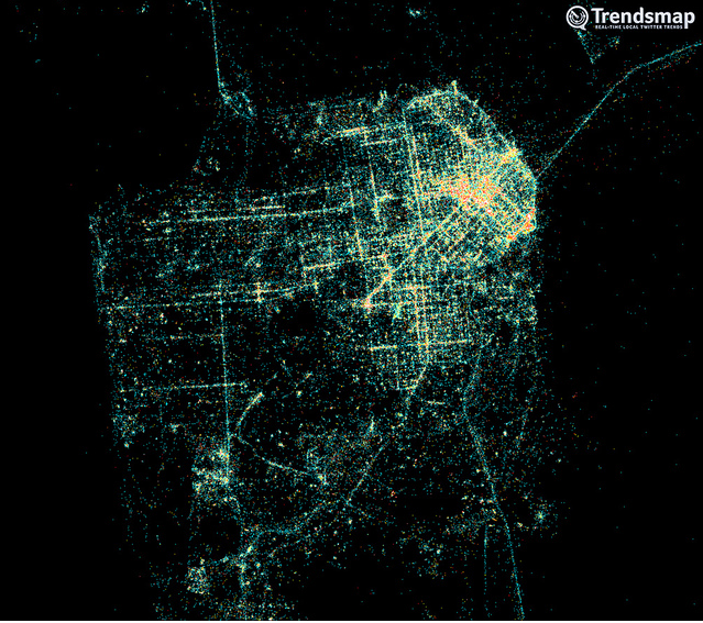
To make the maps more “real”, add sounds….. In Montreal, they did it.
https://www.montrealsoundmap.com/?lang=en

Also England: https://sounds.bl.uk/uksoundmap/fusionmap.aspx

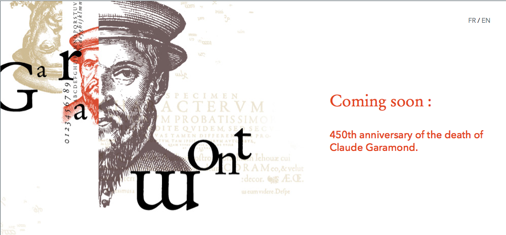
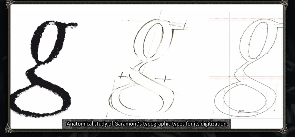
For the celebration of the 450th anniversary of the death of Claude Garamond
https://www.garamond.culture.fr/en/english
The French National Library organizes different virtual exhibitions which are very interested for who wants to learn more about history of books, print and typography. Recently, a new exhibition about the actual creation of new typographies.
https://www.imprimerienationale.fr/expo/
Spatial Search – Draw a Search Area on the Map to Retreive Site Points in Google Earth
https://www.flightradar24.com/
It can zoom the map that is displayed and move by clicking on the arrows to bring up a region and a city. We then see all the planes passing overhead.
The map is updated automatically every 10 seconds.
If you click on a plane you see its way and on the left side of the screen, photograph, airports of departure and arrival, his company, speed, altitude, etc …
And if one looks up looking to the sky (if there are no clouds) we see that airplane go in reality!
![]() if you want your own movement (available on your MAC), download the application
if you want your own movement (available on your MAC), download the application