A guide to the next 150 years
by BBC news graphics
https://www.bbc.com/future/story/20130102-tomorrows-world


https://www.bbc.com/future/story/20130102-tomorrows-world

Everything is mappable.
The letters written by Jean-Jacques Rousseau are classified by place and time. So you can enter into the Space-time of the author.
https://www.rousseauonline.ch/maps/maps.php


The magazine Science underline the huge advance made in network analysis. Networks interact, create cascading effects……


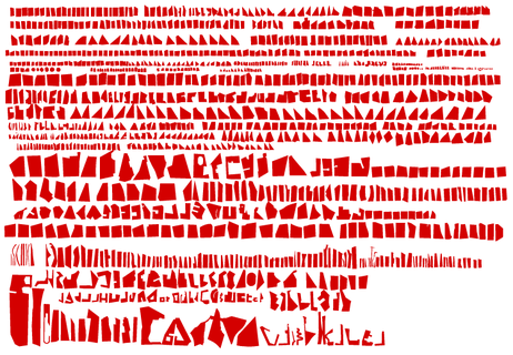
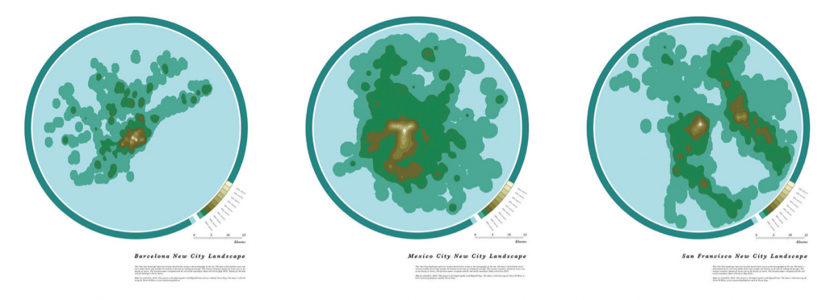
I don’t know what we can learn from the physical dissection of cities: maybe some fractal analysis could work?
Berlin:
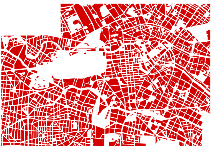
New York City:
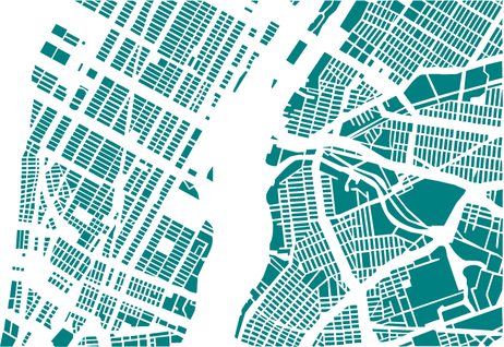
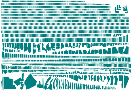
and other cities in the website (made by Armelle Caron)
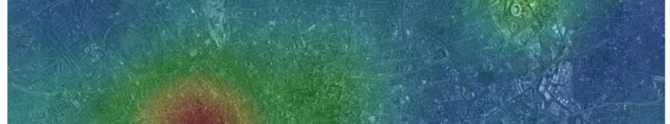
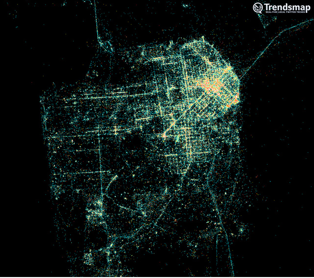
The density of twitter users shows the location of people in London during the Olympic games…. impressive……
See the website:
https://urbantick.blogspot.co.uk/2012/09/virtual-landscape-and-peak-for-london.html
London during Olympic games:

Other cities:
Looking back through the decades, these snapshots from space — created exclusively for CNN by NASA’s Landsat department in collaboration with the U.S. Geological Survey — reveal the impact of the vast population shift on cities around the world.
https://edition.cnn.com/SPECIALS/world/road-to-rio/satellite-photos-urban-sprawl/index.html
example of LAS VEGAS:


A wonderful visualization of the active networks for french elections classified by partis:


a terrific tool to give to students, children, citizens of the world….
https://www.ined.fr/en/everything_about_population/interactive_maps/

See the instructions:

To make the maps more “real”, add sounds….. In Montreal, they did it.
https://www.montrealsoundmap.com/?lang=en

Also England: https://sounds.bl.uk/uksoundmap/fusionmap.aspx

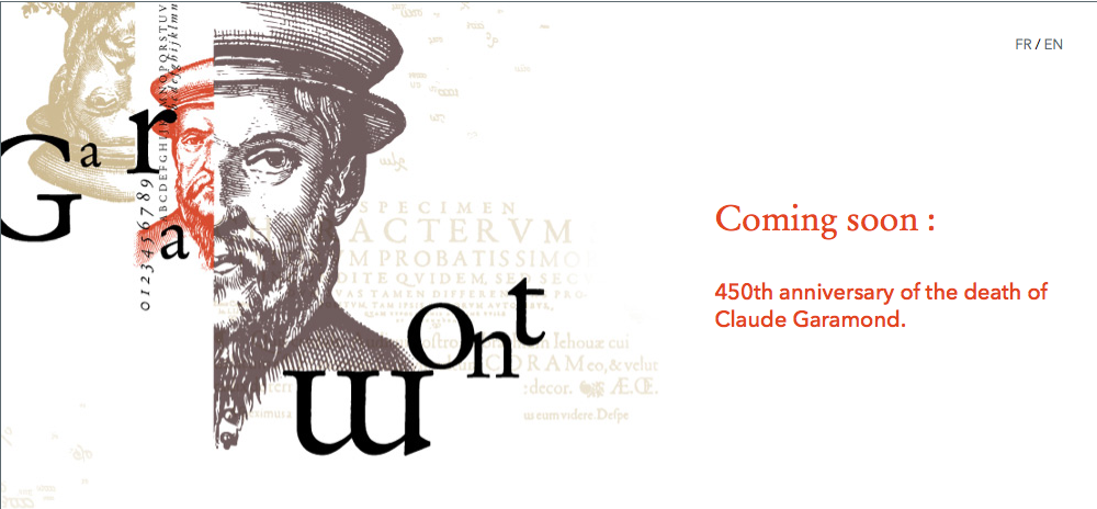
For the celebration of the 450th anniversary of the death of Claude Garamond
https://www.garamond.culture.fr/en/english
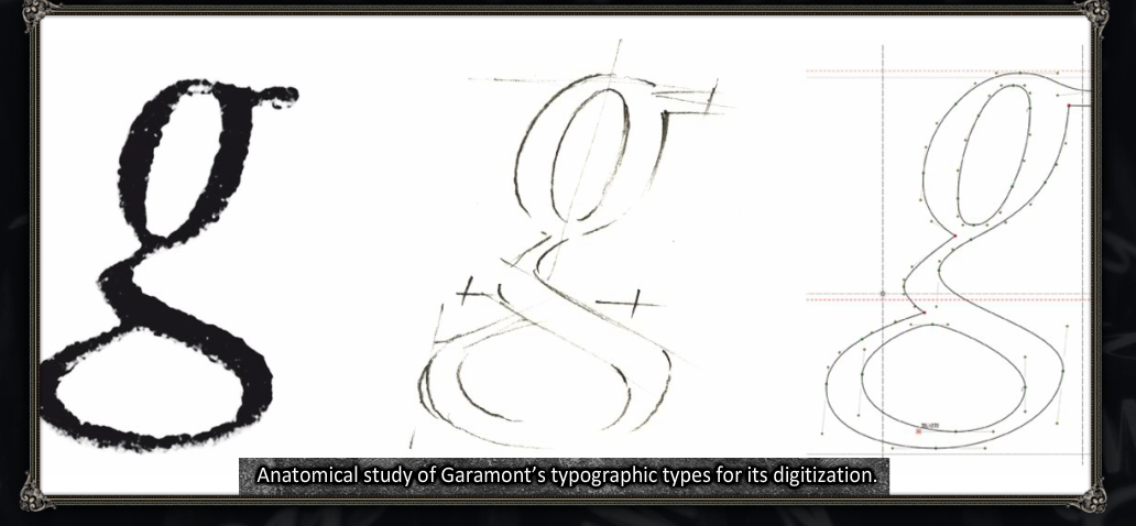
The French National Library organizes different virtual exhibitions which are very interested for who wants to learn more about history of books, print and typography. Recently, a new exhibition about the actual creation of new typographies.
https://www.imprimerienationale.fr/expo/
See the parodies:
Of the book:
– Spanish:
https://www.youtube.com/watch?v=Q_uaI28LGJk
– Norvegian:
https://www.youtube.com/watch?v=xFAWR6hzZek
Of the Iphone 6 by Anthony Kavanagh (in french canadian)
https://www.youtube.com/watch?v=iJovnFcx4DY
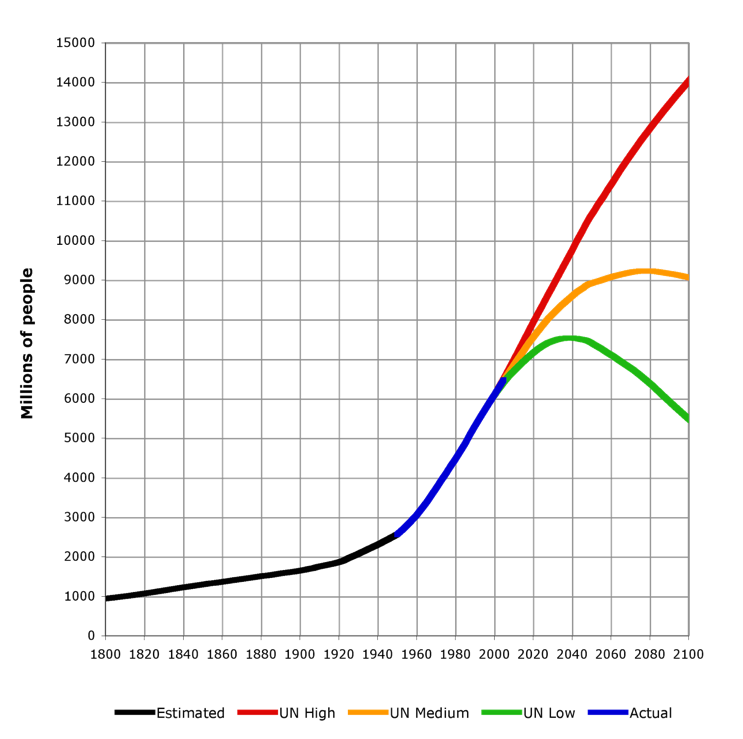
Previsions of population growth: a very important topic relayed by many blogs (Urban ticks):
Atlas of African cities on Google Earth (of course you must have already downloaded Google Earth):
Click on
Display Africapolis data in Google Earth
and then you access to many information from the “GEOPOLIS” database of François Moriconi
Spatial Search – Draw a Search Area on the Map to Retreive Site Points in Google Earth