What is the meaning of a map? Is it an objective tool or a representation of values? “H. Mazurek invites us to compare the points of view of the geographer as opposed to the cartograph. The author argues that the first one should overcome a cartesian vision and engage in the construction of spaces where territoriality and human behavior are intrinsically linked. Through a critical approach of how maps should represent the true meaning of places and their historical scope, this publication reminds us that spaces are social constructions and indirectly questions the significance of humanitarian mapping. “
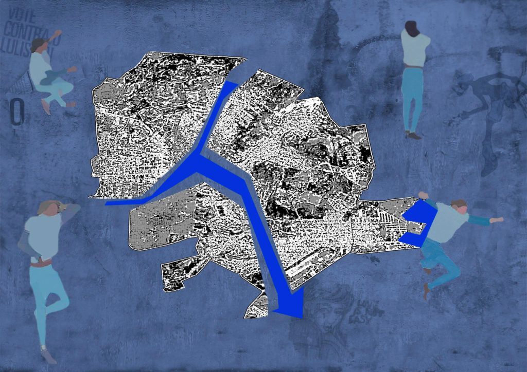
“The below “virtual” collage is inspired by PCdO Campos & I Paz study (12) on the mapping of Itaperuna, Rio de Janeiro, BR. In January 2020, the worst floods registered since 1932 impacted dramatically this urban area. The map itself shows the flood occurrence of the Muriae river during the event. The study used highly skilled techniques based on fractal analysis investigating the (lack of) drainage performance and its impact on flooding cartography usage. Confronting the absolute objectivity of sophisticated measurements to the inherent subjectivity of human behavior translates here into a deconstruction-reconstruction process of the mapping. Itaperuna looks fragmented in three parts, but together with the river and its redesigned flooding, they constitute an indissociable whole and an integral part of the social space. All around, silhouettes are talking, lying down, dancing or listening on a background of graffiti, a way to recall the challenge of pedagogy when teaching to non-expert citizens the meaning of urban resilience.”


