
Cette publication est également disponible en :
![]() Français
Français
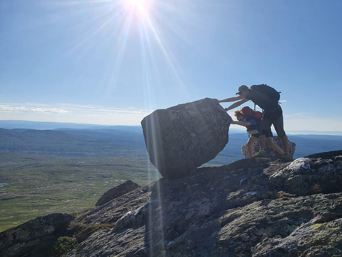
Thesis defended by François Noël, January 8, 2026 – Institute of Earth Sciences (ISTE).
Gravitational natural hazards can lead to fatalities and economic consequences. To reduce these effects, they must be managed in a way that minimizes potential losses and optimizes the associated management costs. This involves proactively limiting building zones to avoid areas excessively affected by hazardous natural phenomena such as rockfalls. To achieve this, it’s crucial to understand the potential propagation extent of falling rock fragments.
When infrastructures like tunnel portals cannot avoid dangerous locations, it is beneficial to assess the level of hazard they face. This requires estimating not only spatial aspects, i.e., the phenomenon’s reach, but also its frequency. If the risk is too high, stabilization and protection measures can be considered. For that, beyond the spatial and temporal aspects of the phenomenon, identifying the primary hazardous rock cliffs likely to have rockfalls reaching exposed infrastructures is essential. This helps concentrate stabilization efforts on problematic source areas.
Additionally, to halt the propagation of falling blocks, it’s necessary to understand the energy levels and their bounce heights reached along their trajectory. For all these prerequisites, practitioners generally rely on modelling tools to complement their expertise. The more accurately a tool can locally reproduce propagation velocities and bounce heights, the more realistic its predictions of propagation distances will be.
This doctoral research focused on better understanding the dynamics controlling these factors, evaluating the current abilities of existing tools at predicting them, and suggesting improvements. First, a method to consider the detailed geometry of impacted terrains was developed. This method was then used in rockfall experiments to collect rockfall impact data with precise geometries. Data from various sites were analyzed to better understand the dynamics of rockfall bounces and propose a model to simulate them.
In addition to improving understanding of rebound dynamics, these observational data allowed for the validation of existing tools against real-world conditions. Their strengths and weaknesses were highlighted, complemented by usage recommendations and instructions for obtaining quantified, objective, and thus verifiable land-use zoning estimates. Furthermore, the acquired knowledge was shared with open access and integrated into distributed simulation tools, whose significantly improved precision was validated through extensive field observations.
Finally, these concepts were applied across Norway to demonstrate how indicative rockfall hazard maps can be produced and how to quantitatively assess the associated risks.
Leave a Reply