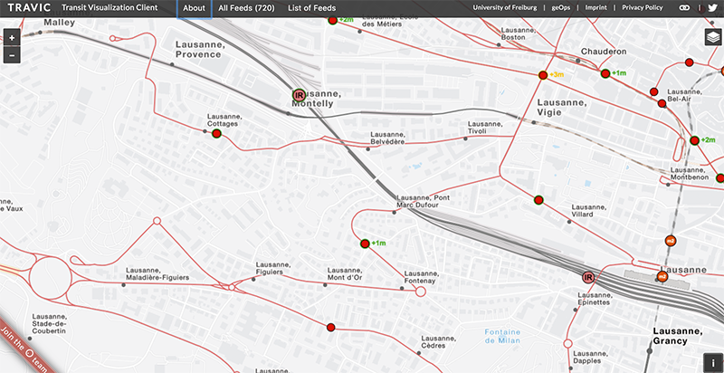
TRAVIC is a real-time tracker of public transport that allows the user to visualize the movement of trains, buses, trams and boats all over the world. It is based on a master thesis project by Patrick Brosi in a collaboration between the Swiss based geoinformatics company Geops with the University of Freiburg, Germany. For background information on how TRAVIC is done you may check their blog.
This tracker provides movement visualization of transit data published by transit agencies and operators from all over the world. The movements are mostly based on static schedule data but for some countries, such as for example the Netherlands, real-time data is available and included in the visualization.
Enjoy the visualization, and let us know how you used this tool and what its applications could be.


