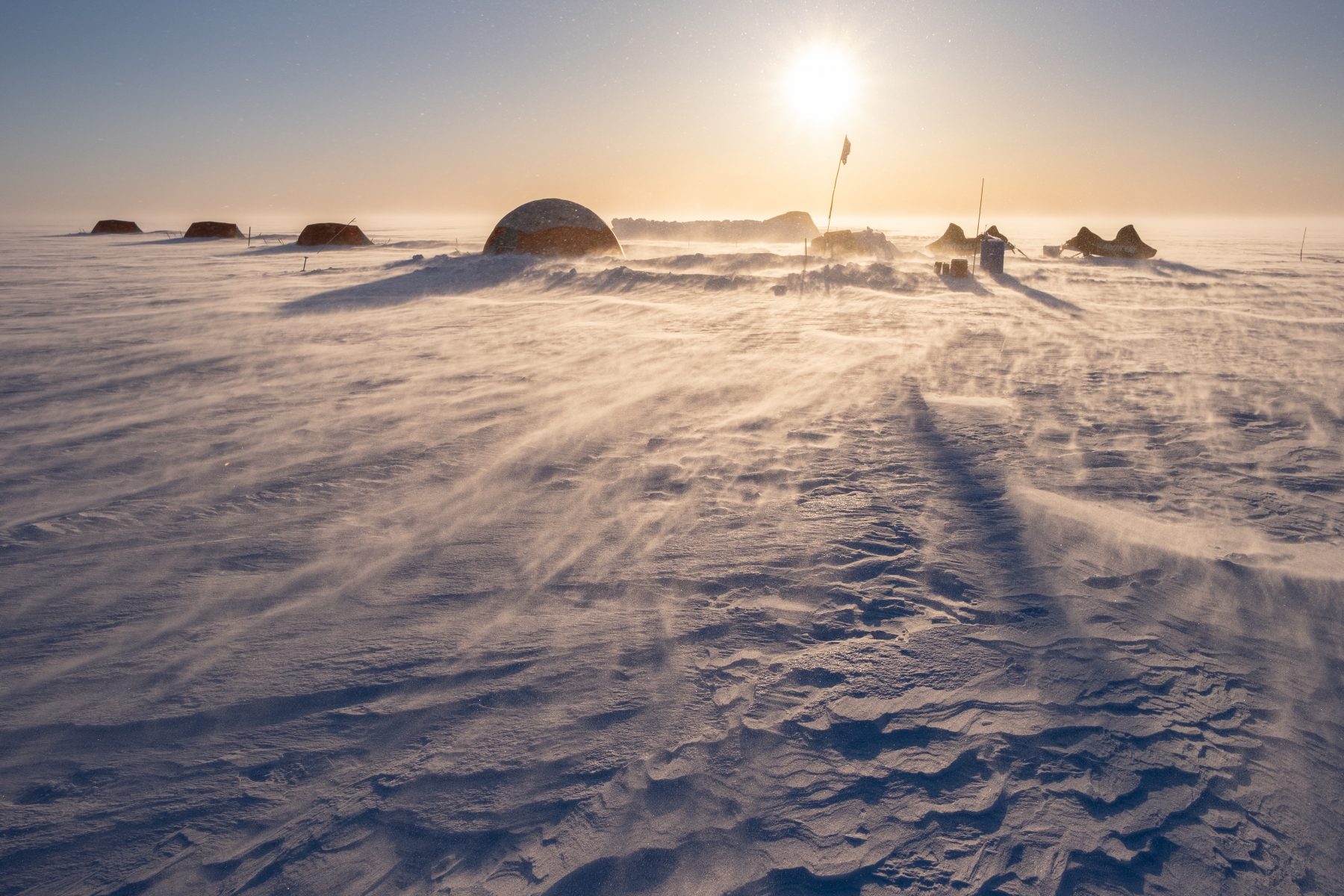
In the last decades mass losses from the Earth’s ice sheets have accelerated dramatically, putting them in the spotlight under 21st century climate change and beyond. The rapidity and magnitude of ice sheet responses to climate change over human timescales requires explanation. This is a critical challenge, as the shrinkage of Polar ice is brought closer to home by sea level rise, disrupted ocean circulations and shifting weather patterns.
Our ice sheet research is inter-disciplinary and involves investigation at a range of scales. We focus on the Greenland Ice Sheet, where we pair our experimental field sites with satellite remote sensing and physical modelling to explore ice-sheet-wide sensitivity to the climate.
The impact of surface melting on ice sliding
The coupled hydrology and ice dynamics of the higher elevations of the Greenland Ice Sheet, where ice is beyond a kilometre thick, remains poorly understood. This lack of knowledge is a significant source of uncertainty in the models used to project the ice sheet’s sea level rise contribution. The overarching objective of our Swiss National Science Foundation-funded Starting Grant is to quantify the impact of high-elevation surface melting on the ice sheet’s dynamic stability through the 21st century and beyond.
The fate of high-elevation meltwater
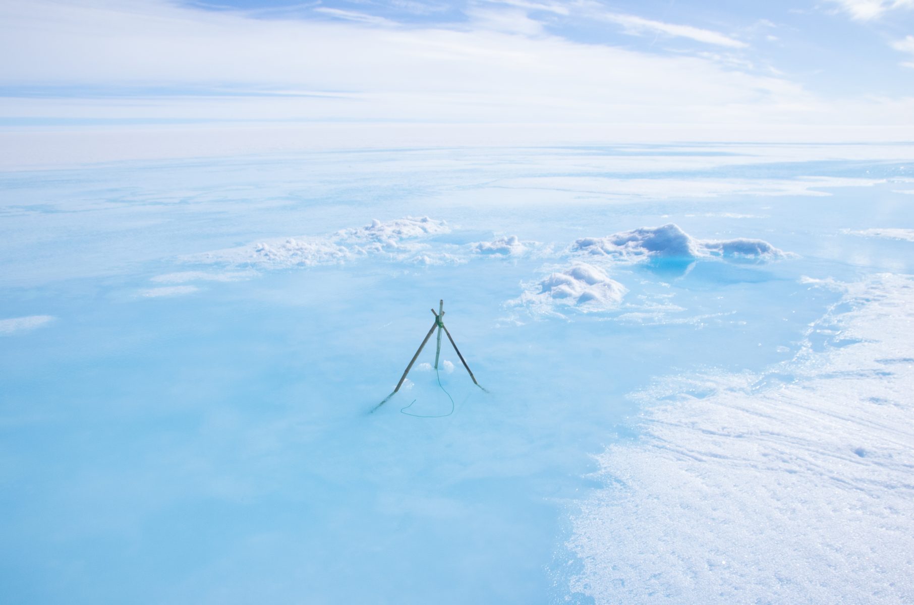
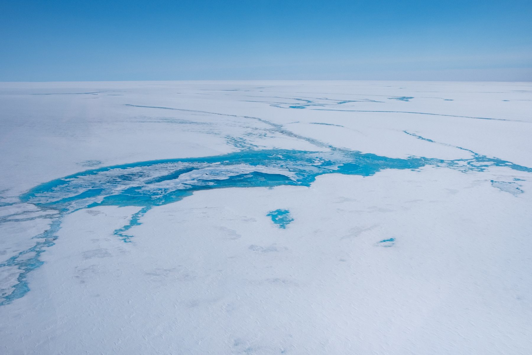
Meltwater produced above the equilibrium line may refreeze in-situ, collect in slush fields and lakes, or drain directly via rivers and moulins down to the ice sheet bed. Refreezing has changed rapidly over the last decades, leading to the development of near-impermeable ‘ice slabs’ which increasingly favour the appearance of surface rivers that flow over the top. This means that the surface mass balance of higher elevations is decreasing. Our work aims to improve the accuracy of partitioning between these refreezing and runoff processes, with a view to developing good estimates of how much water can drain to the ice sheet bed.
Monitoring subglacial water with radar observations
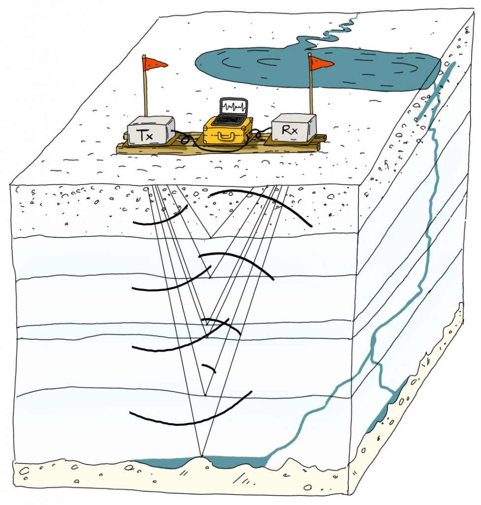
During the melt season, supraglacial lakes can suddenly drain through a process known as hydrofracturing, creating moulins that channel surface meltwater deep into the ice column. However, the fate of this water — whether it reaches the bed, remains stored within the ice, or refreezes — is still poorly understood in regions of thick ice. To investigate these processes, we deploy autonomous phase-sensitive radio-echo sounding (ApRES) instruments near surface lakes. These instruments operate year-round, tracking changes in the vertical spacing of internal layers and variations in radar signal strength. This allows us to detect how water moves and is stored within and beneath the ice, offering crucial insights into meltwater’s impact on ice dynamics and the efficiency of the subglacial drainage system.
Image credit: Tamara Gerber
Modelling subglacial drainage evolution
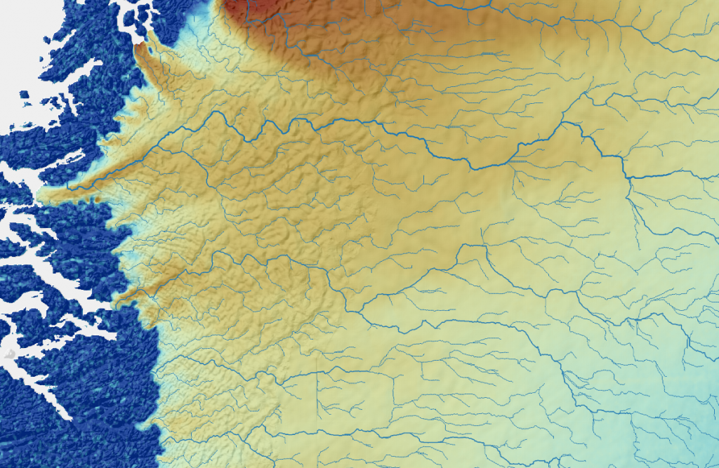
Understanding how subglacial drainage systems evolve under thick ice is crucial for predicting ice sheet dynamics in response to climate change. A key question is whether and under what conditions efficient, channel-like drainage networks can form beneath large overburden pressures. To study these dynamics in our survey area, we use the state-of-the-art Glacier Drainage System Model (GLaDS), which simulates the flow of water beneath the ice. By coupling this model with ice flow simulations, we can explore how meltwater influences ice movement, both during the melt season and over longer timescales. This approach also allows us to simulate potential scenarios of increased meltwater input in a warming future, helping to refine predictions of how changes in surface melt volume and subglacial drainage systems will impact ice sheet stability and improve estimates of Greenland’s contribution to sea level rise.
Image credit: Tamara Gerber. Data: ice flow velocities, surface topography; flow routing with RichDEM.
Ice biology and albedo
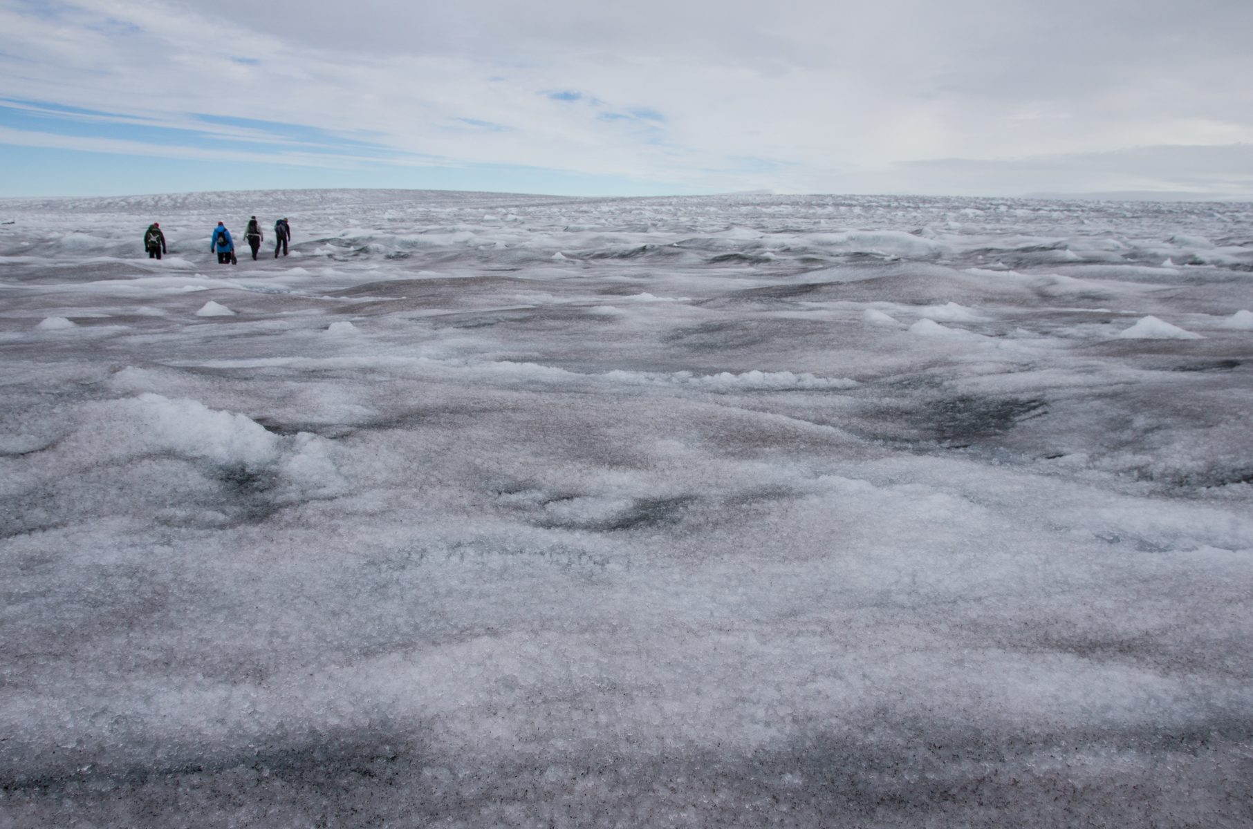
The darker the ice sheet surface is the more it melts, so microbes and particulates could increase the rate at which sea level rise occurs. Fundamentally inter-disciplinary in approach, we work with microbiologists and geochemists to understand the impact of algae on ice albedo, and to build models which project the future potential impact of ice algal growth on melting on the ice sheet.
Computational geographic data analysis

Much of our work requires the analysis of big geospatial data. Working with international collaborators, we develop tools to simplify this analysis, released in the Python package GeoUtils.
Image credits: Andrew Tedstone, except where otherwise indicated.
