What is your academic background? 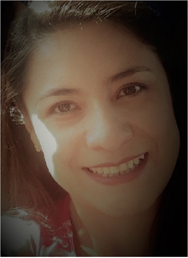
I am an Engineer in Geographic Science with specialization in land use and sustainability from the Catholic University of Ecuador. I have a postgraduate in Geographic Information Systems from the San Francisco University of Quito, a Master in Design and Evaluation of Projects from the Central University of Quito, I am certified in Project Management Professional and PM4R of Inter-American Bank of Development, and I hold the Master in Geography with the specialization in Spatial Analysis and Complex Systems from the University of Lausanne.
What has been your career path so far, and what are your plans? Why did you choose this path?
After my master’s studies in Lausanne, I am full time lecturer at the Catholic University of Quito, teaching the courses of Land Planning, Demography, and Remote Sensing in the Faculty of Human Studies. I manage the innovation project about web mining and labor force, and the project of web portals where I manage the academic blog about the Geography curriculum. Also, I coordinate the project for implementing ODS indicators to mainstream within academic planning.
Besides, I manage the international event called “Encuentro de Geógrafos de América Latina” that is the biggest event for geographers in the region with 40 years of history. It is organized by representatives of 5 Universities of Ecuador and a group of more than 32 private and public institutions.
My plans for the future are to continue in academia, I want to pursue a PhD, become a principal lecturer, and develop my own network of research, with the aim of creating my own institute of research and online training in the geography of innovation.
What challenges did you face during your master’s degree at Unil, and what are its qualities and flaws in your opinion?
During my master studies I encountered many challenges. Language was the most difficult one because my level of French was basic, also I had to review some concepts and methods in mathematics and physics, because I was developing my career in the industry where theoretical topics are normally not used. I had to remember and learn a lot of topics, in particular my knowledge in programming was insufficient for the master’s program. Dedication and perseverance were crucial, but the support of my classmates also contributed to my success.
In what way does your master training at the Unil, and more specifically the “spatial analysis” specialization, have been useful during your experience in the professional world?
Training in spatial analysis has provided me with many tools, methods and theoretical concepts, which have been fundamental for the innovation in Geographic Science. It gave me the opportunity to design and develop high-tech projects that are unique in my country. Now, I can work in multidisciplinary projects with a new vision and capabilities to develop knowledge.