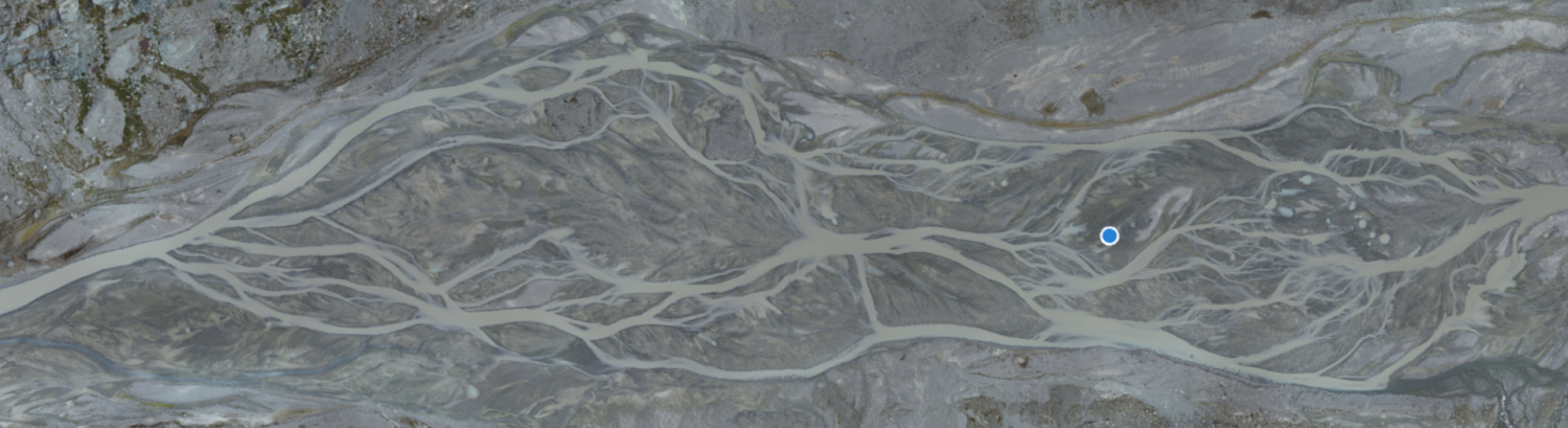
Measurement of river bathymetry has been revolutionized by high-resolution remote sensing that combines UAV platforms with SfM-MVS photogrammetry. Mapping inundated and exposed areas simultaneously are possible using either two-media refraction correction or some form of the Beer–Lambert Law to estimate water depths. If, as in turbid glacially-fed braided streams, the bed is not visible then traditional survey techniques (e.g. differential GPS systems) are required. As an alternative, here we test whether the spatial distribution of water depths in a shallow braided stream can be modelled from basic planimetric data and used to estimate inundated zone bathymetry. We develop heuristic rules using; (1) distance from the nearest river bank; (2) total inundated width along a line tangential to the local flow direction; (3) local curvature magnitude and direction; and distance from the nearest flow (4) divergence and (5) convergence regions. We parameterize them using a sample of measured water depths in stepwise multiple linear regressions and validate them using independent data. Resulting water depth distribution maps explain between 50% and 60% of the measured water depth spatial variability when compared to independent data. After incorporating modelled water depths into digital elevation models (DEMs) of exposed areas, we show that the developed method is suitable for volumetric change calculations in both dry and inundated areas. A copy is freely available here.