February 14, 2025 – Fresh Out of the Oven: New Manuscript on the role of pyrodiversity in savannas!
Our latest manuscript is officially on fire and just came out of the oven, ready for submission!
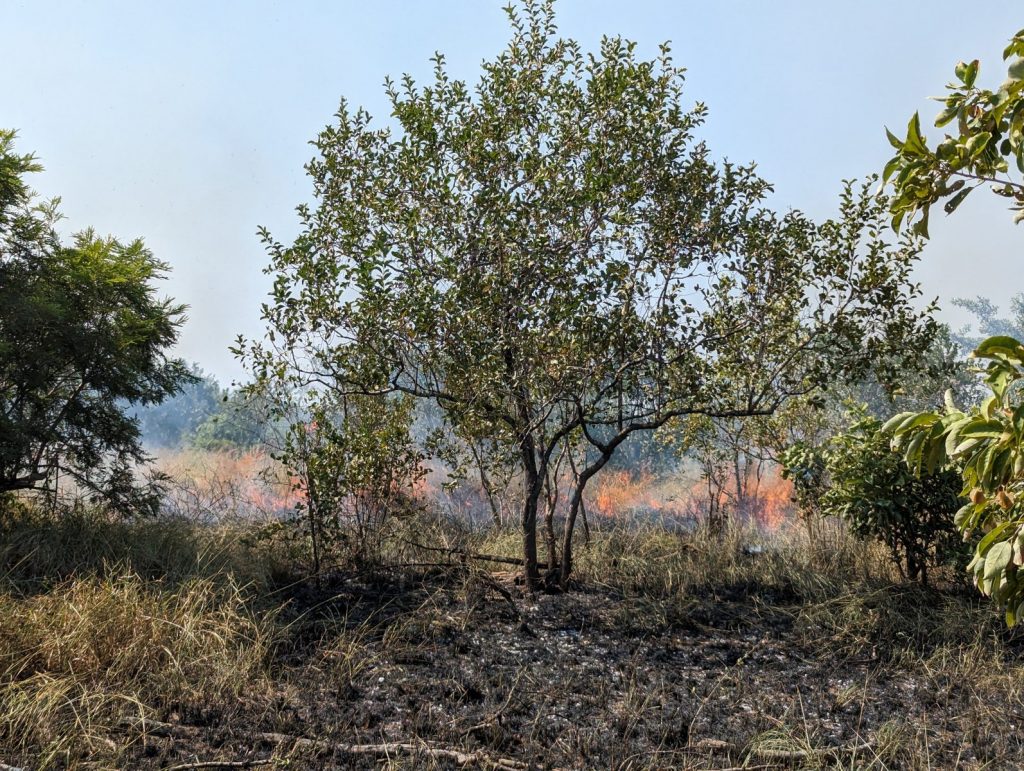
This study explores how pyrodiversity—the variation in fire frequency across landscapes—shapes ecosystem diversity in South African savannas. Drawing on a multi-decadal fire experiment across a rainfall gradient, we found that more diverse fire patterns lead to richer structural, functional, and taxonomic ecosystems—especially in wetter savannas. We did came to this by using most of the data collected in our field campaign in the Kruger National Park.
Our findings show that managing for pyrodiversity could be key to sustaining biodiversity and ecosystem services amid rapid environmental change, notably in wet savannas such as those dominated by Terminalia sericea.
Stay tuned—we’ll share the final version once it’s officially out!.
November 28, 2024 – Preprint available on the drivers of fire regimes in Southeastern Africa
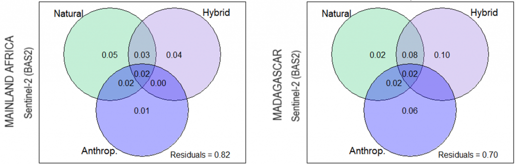
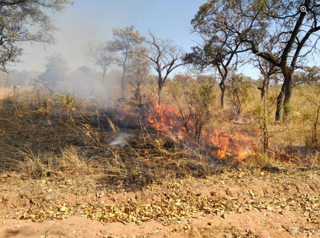
Our latest study for the SNIS explores how high-resolution Sentinel-2 data can deepen our understanding of fire frequency, size, and seasonality across Southeastern Africa. We found that fire responses to environmental and human-related factors vary significantly across the region—some drivers matter in certain landscapes but not in others. This spatial variability highlights the need for locally tailored fire monitoring and management strategies.
Our latest study for the SNIS explores how high-resolution Sentinel-2 data can deepen our understanding of fire frequency, size, and seasonality across Southeastern Africa. We found that fire responses to environmental and human-related factors vary significantly across the region—some drivers matter in certain landscapes but not in others. This spatial variability highlights the need for locally tailored fire monitoring and management strategies.
Read the article here: https://doi.org/10.22541/essoar.173282212.20545644/v1
October 2, 2024 – What do people say about fire? Insights from Madagascar
We’ve just submitted a new manuscript to Ecology and Society, exploring how people in Madagascar’s Highlands perceive and talk about landscape fires. This collaborative work—led by a diverse team including nine students from the University of Antananarivo, an independent researcher, and scientists from the University of Lausanne—reveals complex and sometimes contradictory views.
While fire is widely used for land and resource management, most participants expressed negative perceptions, reflecting dominant anti-fire narratives and regulations. Yet, beneath this aversion lie practical uses tied to agriculture and cattle-raising. These tensions suggest that fire remains a sensitive and even stigmatized topic, especially in rural areas.
Our findings highlight the need for more context-specific fire governance and open dialogue between communities, scientists, and policy-makers.
Stay tuned—we’ll share the article once it’s published!
January 8, 2024 – Research article showing unprecedented fire estimates for the entire Madagascar
Madagascar—often called the “Isle of Fire”—is one of the most fire-affected regions globally. Yet, current global products severely underestimate its burned area (BA). Our latest study validates our burned area database at 20 m resolution (2016–2022) based on Sentinel-2 imagery, and analyses some direct outcomes for Madagascar. We revealed that burned land every year is up to four times more BA than previously reported, comprising for 20-25% of the island’s land.
This new resource offers a much-needed improvement for fire monitoring and provides a solid foundation for better-informed fire management and policy decisions on the island.
Read the article here: https://doi.org/10.1016/j.scitotenv.2024.169929
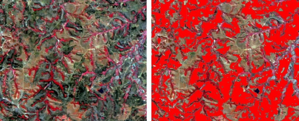
August 1, 2023 – Release of a cutting-edge burned area database for SE Africa
We have used the capabilities of cloud-computing platfotms to use time series of Sentinel-2 imagery for burned area mapping. This approach has confirmed the limitations of the available global burned area products and offers the most accurate alternative analyze burned area in Madagascar, eastern South Africa, Eswatini and southern Mozambique along the period 2016-2022. The product is publicily available so can be easily accessible to the individuals and organizations insterested on accurate burned area data at 20 m spatial resolution. The database is accessible at Zenodo: https://zenodo.org/record/8201841
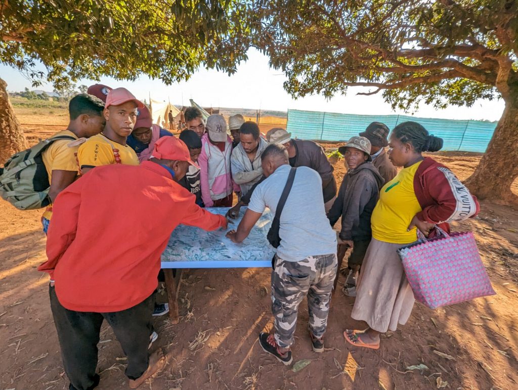
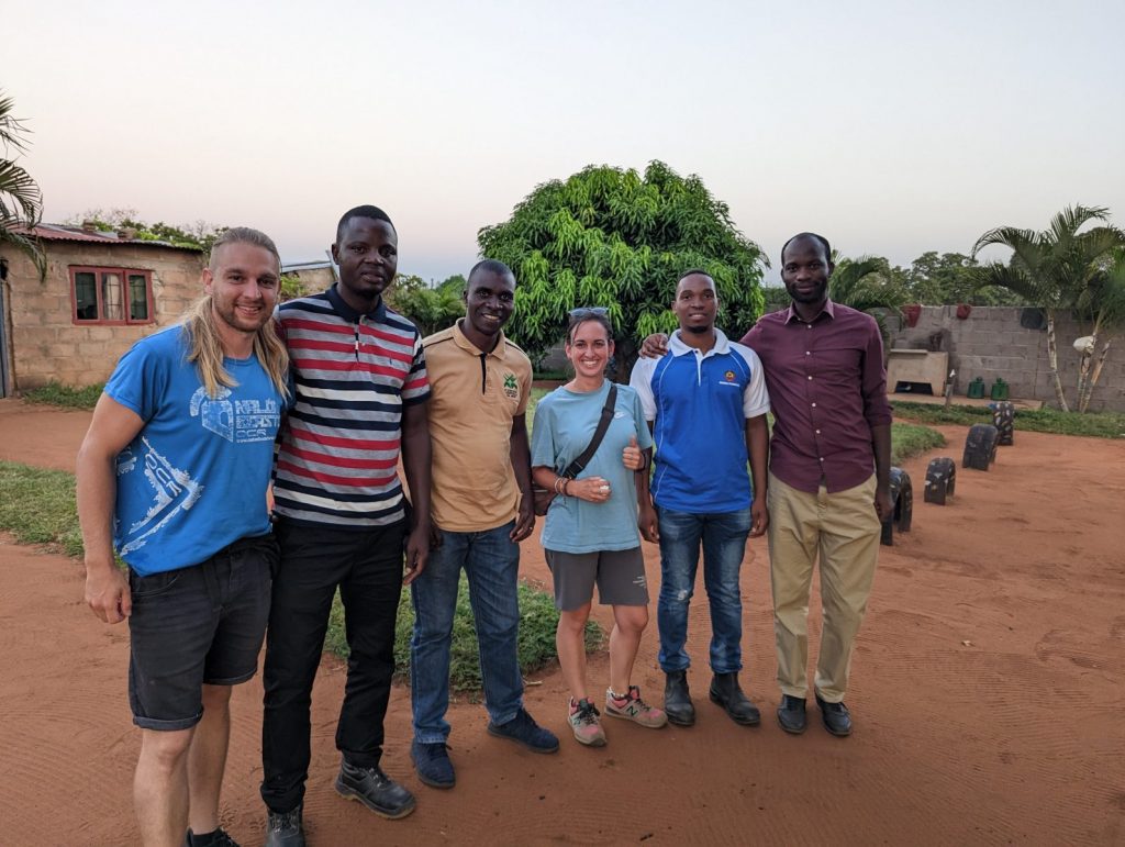
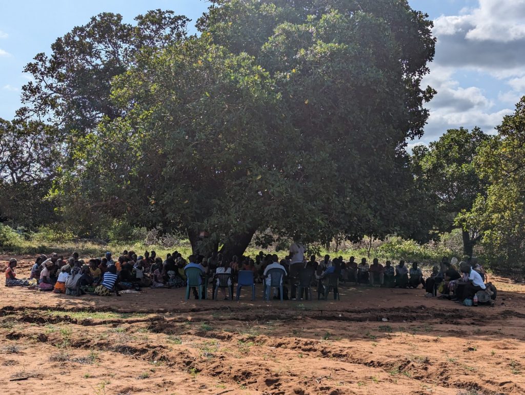
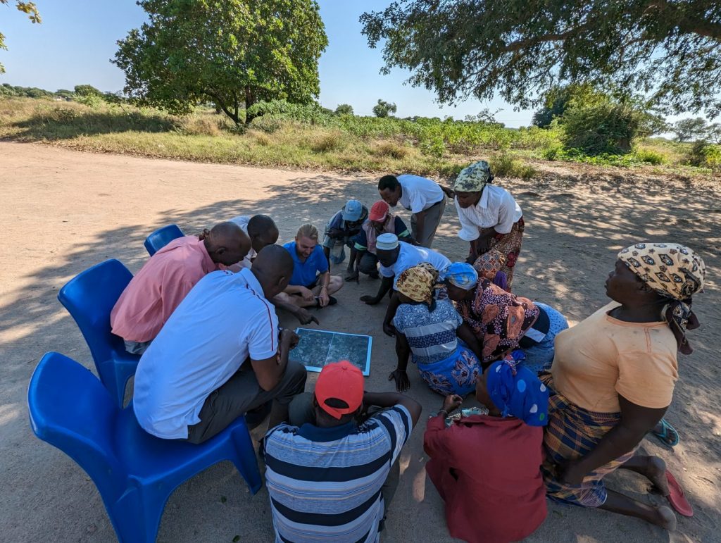
May 25, 2023 – Talking with local communities in Southern Mozambique
In May, the project member Paulo Muando, the project partners Gervasio Chiluvane and Antonio Mendes form the ESNEC-Universidade Eduardo Mondlane, and the principal member Víctor Fernández-García were interviewing local communities in Mozambique. The work has been addressed in the districts of Chibuto, Magude and Bilene (MPA) as they are heterogeneous in terms of fire regimes. In each of the sites, the local authorities, and eventually other governmental organizations were involved in our work. Is the case of Himidio Zimba from the service of planning and infrastructures, and in charge of the environmental education in the district of Chibuto.
Once again, we perceived that people are reluctant to speak openly about a controversial issue such as fire, and probably influenced by governmental educational campaigns. In general, local communities told us about the multiple negative consequences of landscape fires on several ecosystem services. However, when deepening in the conversations, and thanks to the ability of our interviewers we also got valuable information on people’s perceptions and fire use as a tool to favour some services. Here, fire is used mainly for agricultural purposes such as preparation of croplands (“machambas”) before farming. One curious fact in Mozambique is the use of burning to scare away cobras and keep an open safe environment for people.
Workshops were carried out with 9 different communities, that mapped the most important areas around for 12 different ecosystem services. Pending statistical analysis, our initial perception is that the spatial variation of ecosystem services depends primarily on land cover and accesibility. Accordingly, our upcoming GIS analysis will try to disentangle the linkeages between land cover and fire regimes in Mozambique.
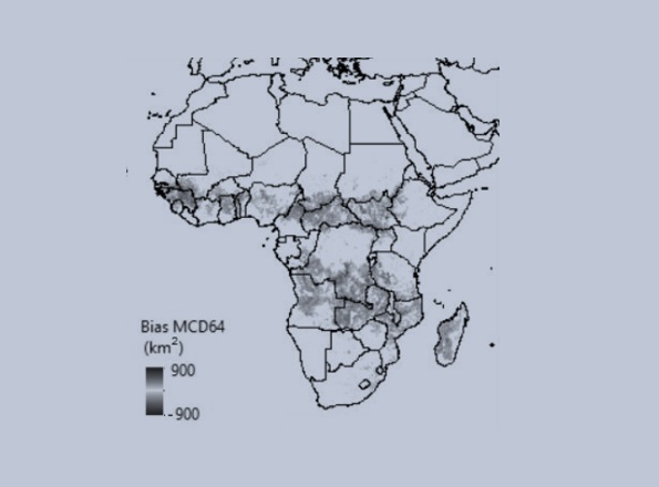
May 17, 2023 – Publication of the first project article
We’re excited to share our first publication! The study reveals how biases in global burned area (BA) products can be corrected using high-resolution Sentinel-2 data and machine learning. The results offer a powerful approach to improve BA estimates since 2000.
The article is accessible here: https://doi.org/10.1016/j.jag.2023.103350
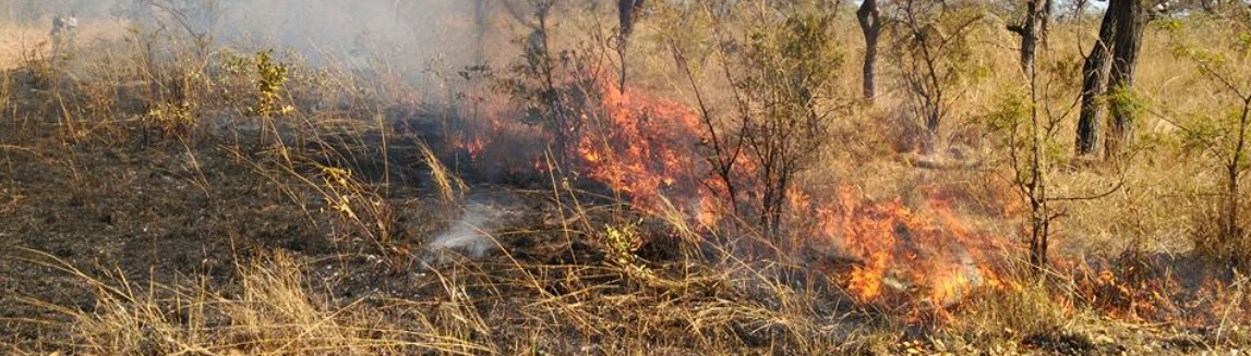
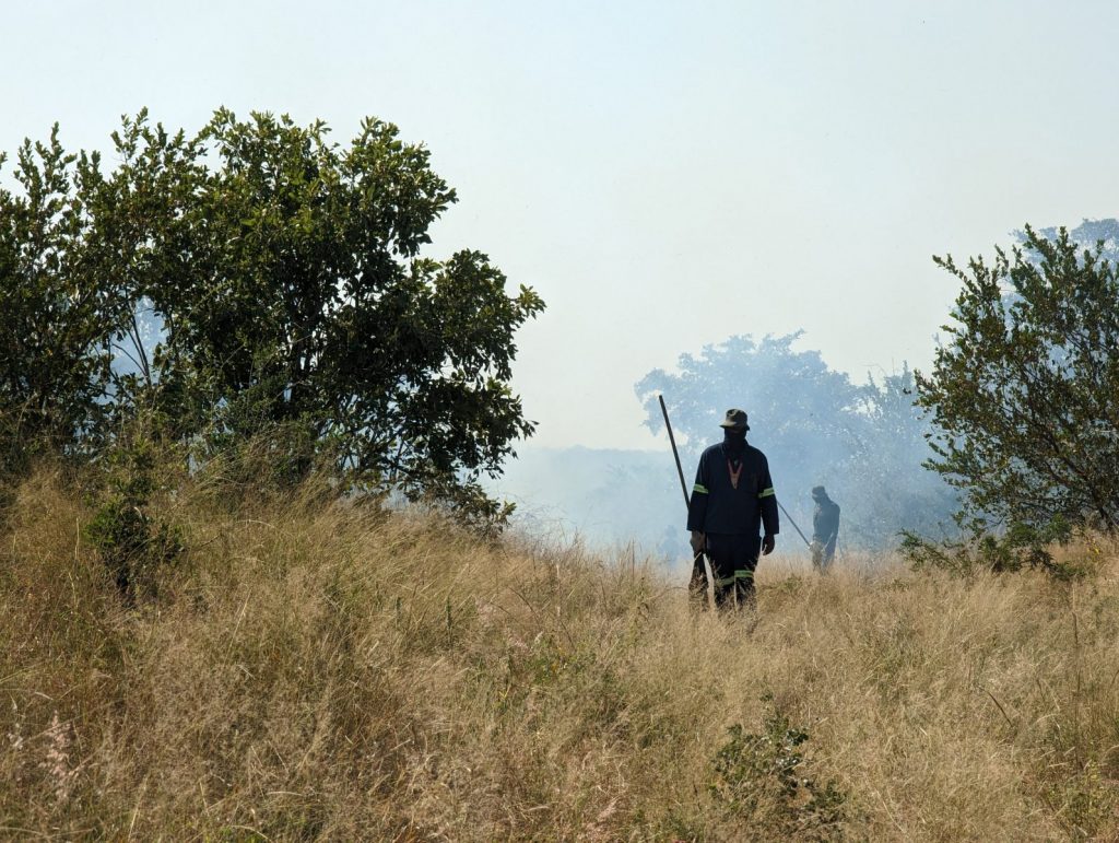
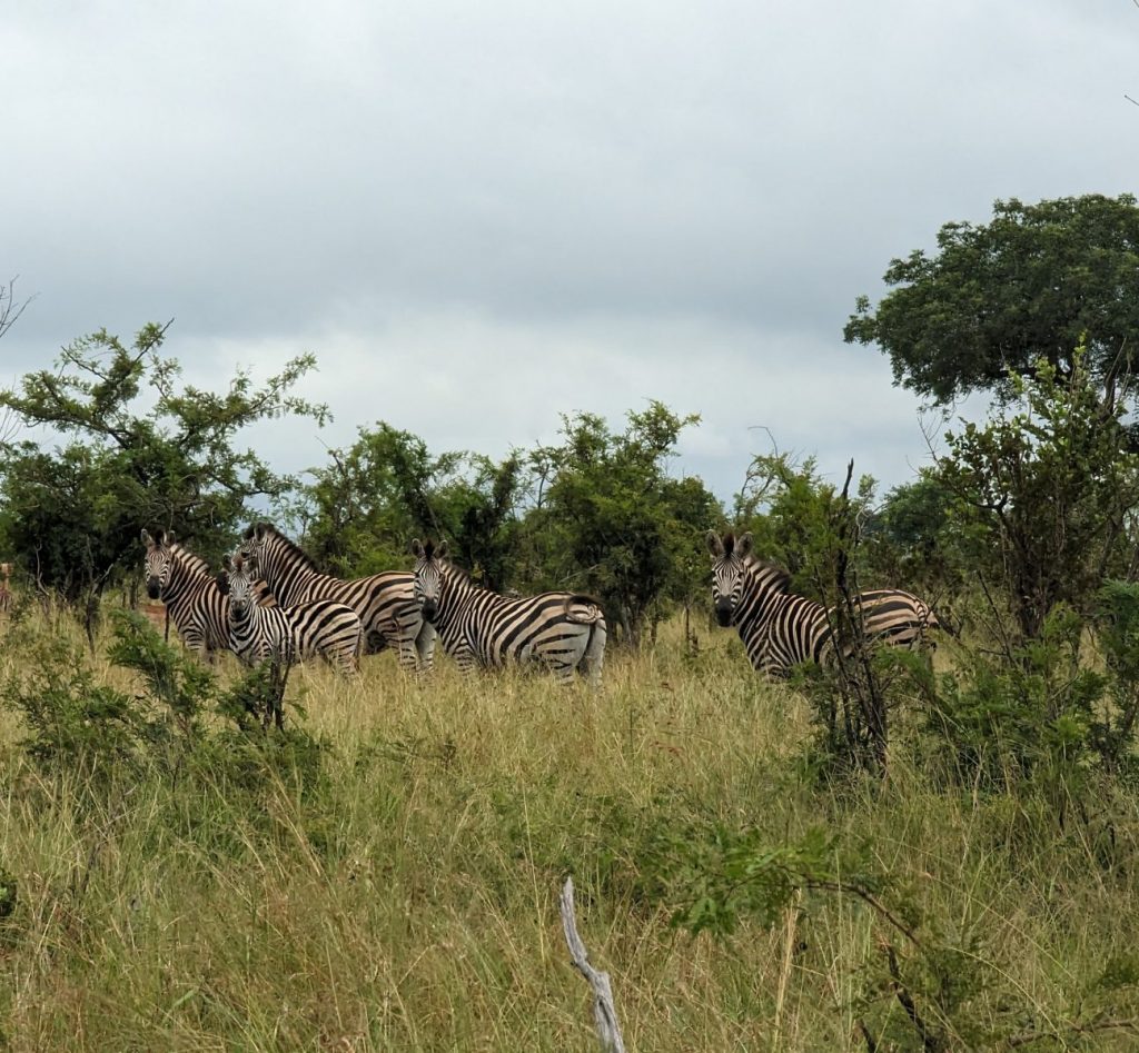
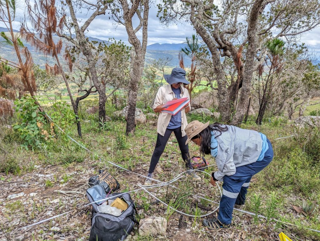
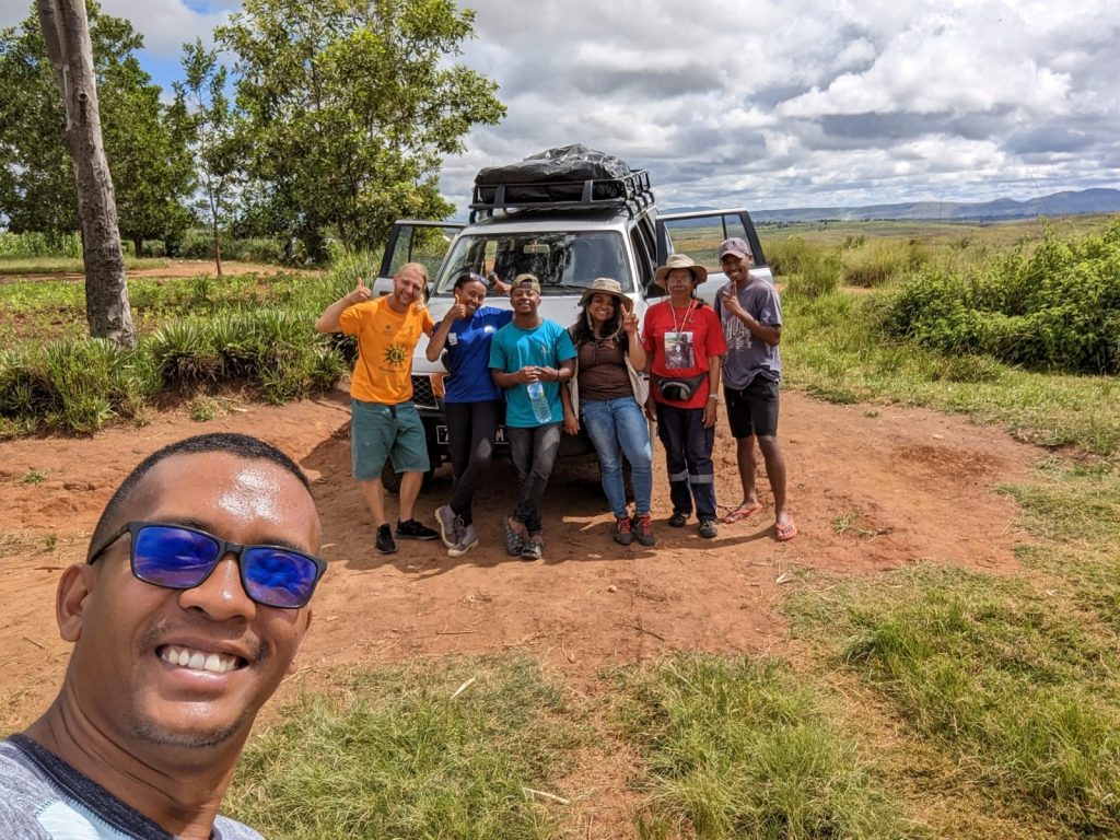
April 29, 2023 -Studying phytodiversity and carbon stocks in the Kruger National Park
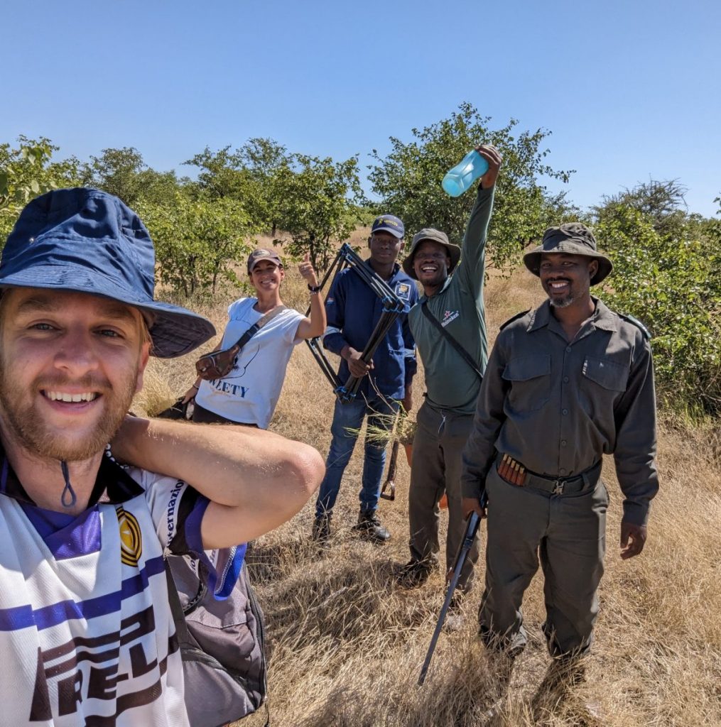
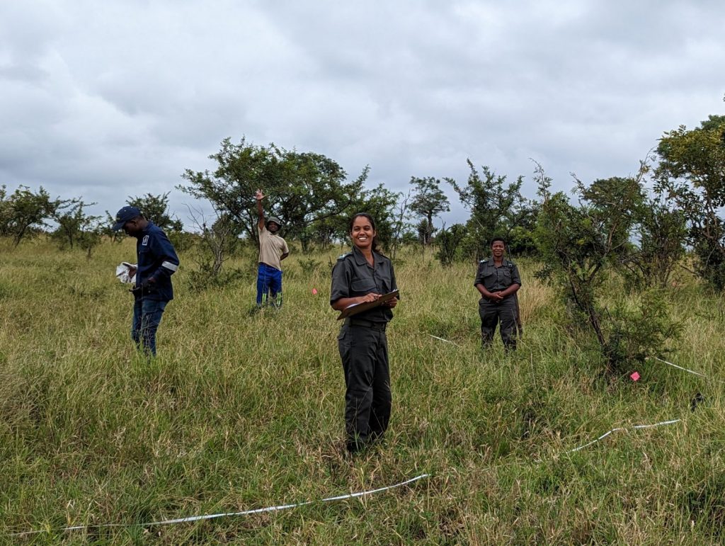
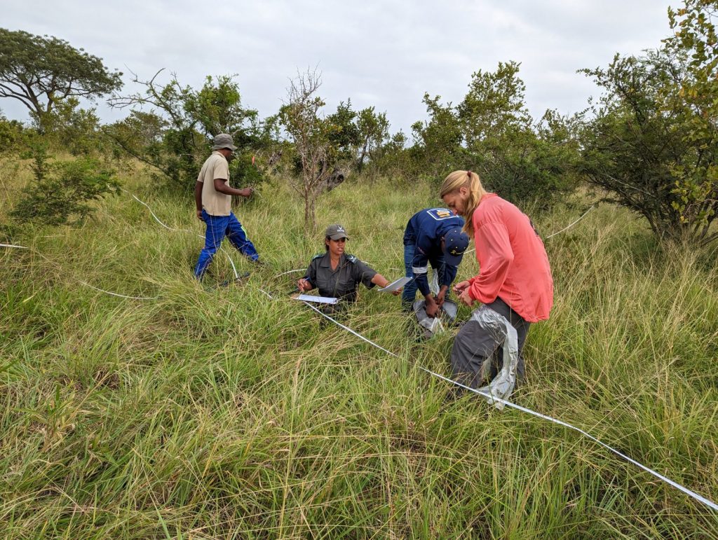
In South Africa, our work has been addressed in the Experimental Burn Plots (EBPs) in the Kruger National Park. The EBPs trial initiated in 1954 offers a unique opportunity to study the influence of fire on ecosystems by simulating different fire regimes (frequencies and seasonalities) in contrasting savannah vegetation types and lithologies. Here, we have focused on the sites of Pretoriuskop, Skukuza and Mopane comprising a wide gradient of environmental conditions.
Analogous fieldwork (soil, litter and vegetation sampling) to that accomplished in Madagascar was carried out by the team consisting of SANParks scientist Tercia Strydom, botanist Elijan Masango from the South African Environmental Observation Network, fieldwork and laboratory auxiliar Nzalama Mkansi, volunteer Cintia González and ecologist Víctor Fernández-García. The wisdom and kind help of the game guards Dudu, Velly, Khensani and Hermann was also essential, not only for protecting us from elephants, buffaloes, lions and other predators, but also for an accurate identification of many plants. We also accounted with the participation of Dave Thompson (South African Environmental Observation Network) and Cristina Santín (CSIC, University of Swansea) that helped us from distance.
We hope that the information obtained by our team in this exceptional controlled experiment adds to the current knowledge on fire influece on carbon stocks and forms, as well as on phytodiversity.
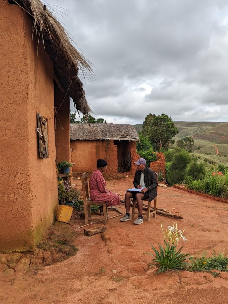
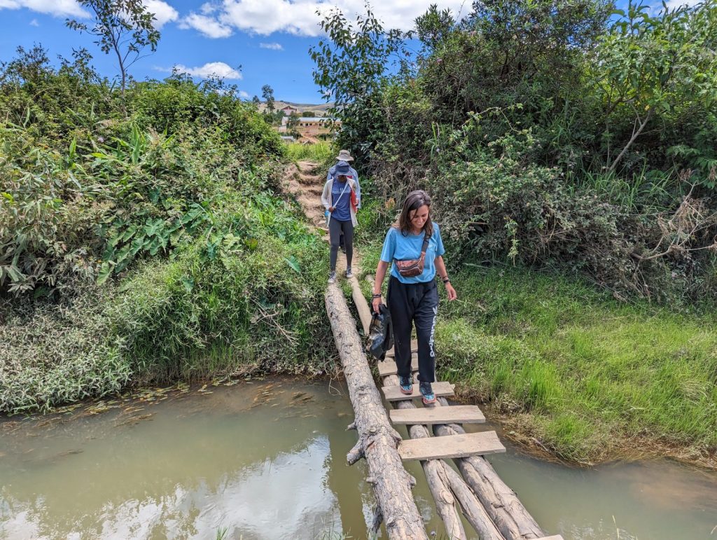
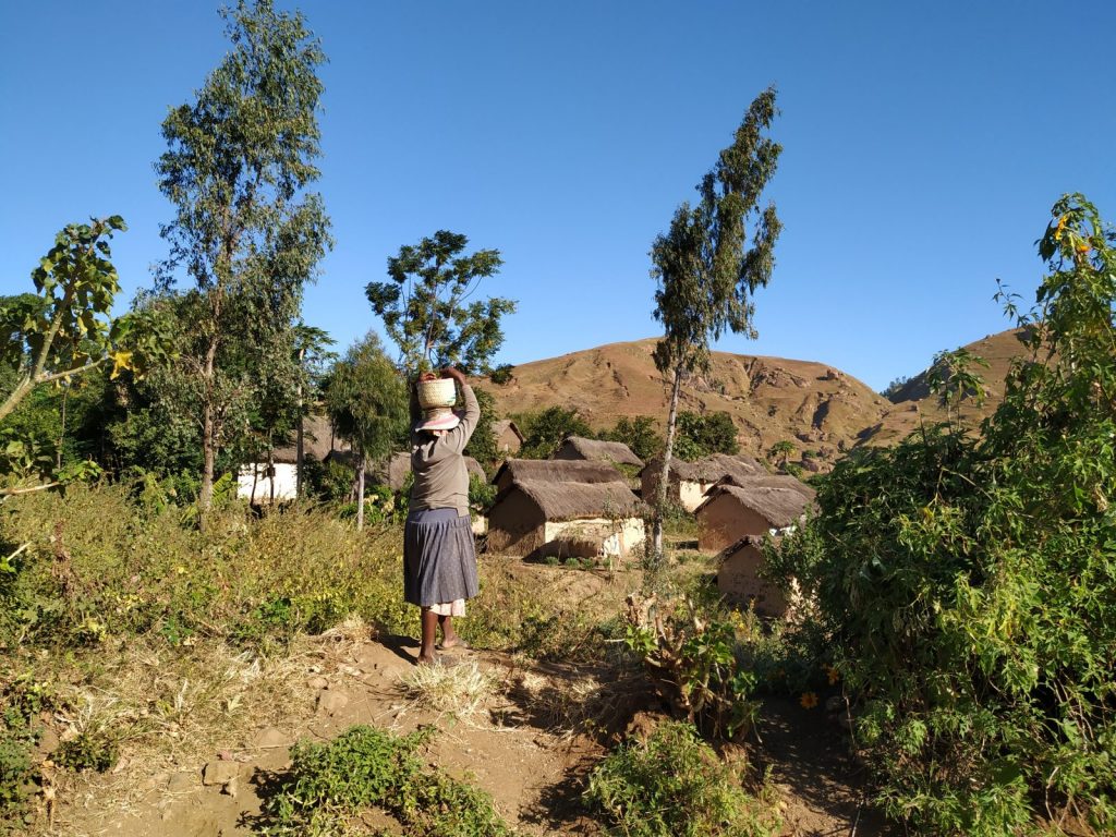
March 15, 2023 – Madagascar’s fieldwork for studying local perceptions on livelihoods
The SNIS fieldwork related to the study on how fire influences local livelihoods has been addressed through participatory workshops (yet to be completed) and more than 180 interviews in three rural regions across Madagascar Highlands (Ankazobe, Ambohimanjaka and Ambatotsipihina).
To successfully accomplish the social part of the SNIS project we account with the unvaluable help of Miakoampo Randriamiadanarivo and Maminiaina Natolojanahary (University of Antananarivo), of volunteer Cintia González (Gotas de Luz NGO), ecologist Víctor Fernández–García (University of León and University of Lausanne), and Tsiorintsoa Rabearinoro that helped us to reach the most unaccessible locations. We are also grateful to the support of local leaders, mainly to the Fokontany presidents that allowed and helped us to organize fieldworks and interviews. To work in rural areas of Madagascar has been an amazing experience where we discovered not only the social components of fire but also the malagasy hospitality and kindness.
Many rural population exhibit some adversity to landscape fires, but some others claim landscape fires as a necessary tool to feed zebu and promote other ecosystem services. We hope future feedbacks and our upcoming data analysis to provide further insights on the complexity of fire impacts on local livelihoods and complement the existing literature.
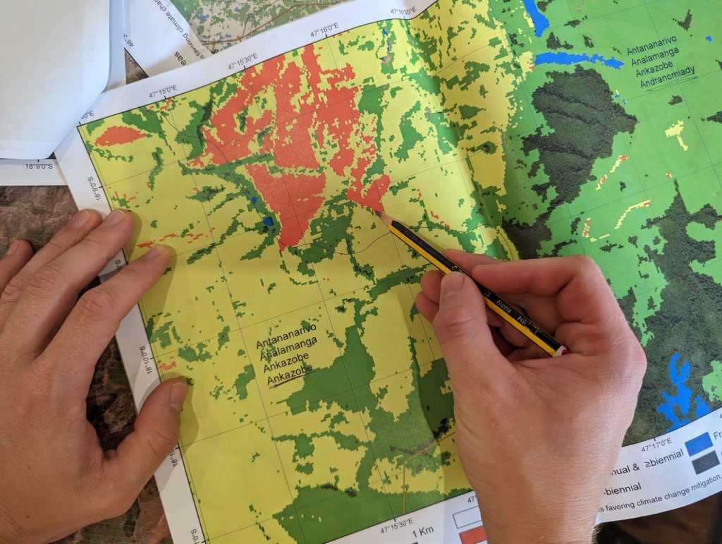
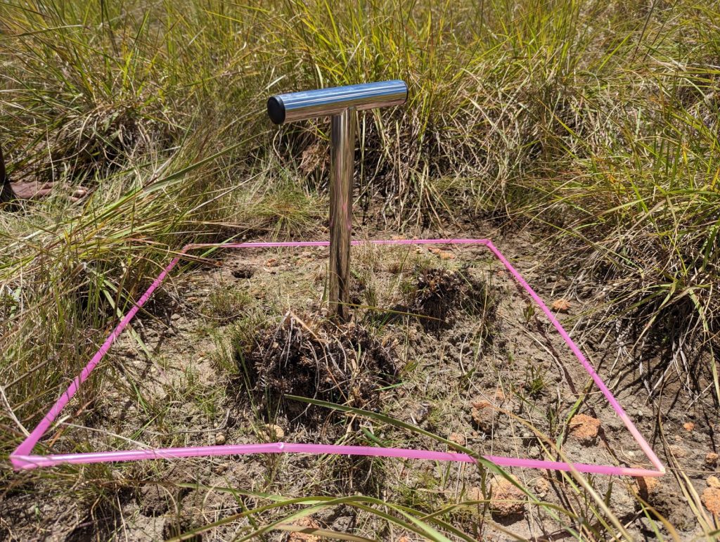
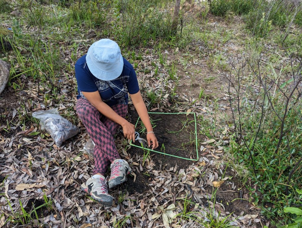
February 28, 2023 – Madagascar’s fieldwork for studying phytodiversity and carbon stocks
The SNIS fieldwork related to phytodiversity and C stocks in Madagascar accounted with the essential participation of botanists Jacqueline Razanatsoa (Kew Madagascar Conservation Centre and Parc Botanique et Zoologique de Tsimbazaza) and Tchana Almary (Kew Madagascar Conservation Centre and University of Antananarivo), of geologists Ionja Robison , Koloina Randriambelomanana and Lova Rakoto Andrianirina (Ministry of Mines and Strategic Resources), of social scientists Miakoampo Randriamiadanarivo and Maminiaina Natolojanahary (University of Antananarivo), of volunteer Cintia González (Gotas de Luz NGO), and ecologist Víctor Fernández (University of León and University of Lausanne). Apart from guide, Tsiorintsoa Rabearinoro drove us under difficult conditions, and many other people helped us during the fieldwork, both in sampling and ensuring security (e.g. Bruno Razafitsoa, Jean Juste and Jean Roger).
Our work consisted in sampling 60 large plots in 3 different landscapes with heterogeneous fire histories (Ankazobe, Ambohimanjaka and Ambatotsipihina). From each plot we collected soil, litter and vegetation samples using multiple small subplots to get representative estimates of carbon stocks. Likewise, we characterized the plant species composition in more than 600 plots of 1m diameter.
The collected information will contribute to better understand how fire regimes influence soil carbon stocks and forms, litter and vegetation biomass, as well as plant diversity in the open biomes of Madagascar, specifically in the grasslands dominated by Loudetia simplex, Aristida rufescens and in the woodlands dominated by the endemic species Uapaca bojeri.
February 1, 2023 – fielwork preparation
Discussions between team members and partners have been essential to further define our study locations. Institutions engagement have also yielded to successful research permit applications, which in some cases are not trivial to obtain. For instance, our fieldwork in Madagascar requires approval by several institutions (PBZT, Ministry of Environment, Ministry of Mines), whereas in Kruger National Park it is mandatory to develop a detailed research proposal that must be approved by SANParks.
January 25, 2023 – First burned area analyses
Our first research task is almost completed! We have identified the burns in Madagascar and MPA hotspots between 2016 and 2021 using state-of-the-art remote sensing methods. This offers insight into fire regimes and facilitates optimal selection of study sites. Among the most striking results, we have developed tools to calculate unbiased BA estimates since 2000, and we have detected that the annual BA in Madagascar approximatelly triplicates the values reported by global satellite products used up to date to provide BA estimates.